
Holmpton, village in the United Kingdom
Locatie: East Riding of Yorkshire
GPS-coördinaten: 53.68466,0.06705
Laatste update: 17 maart 2025 om 08:20
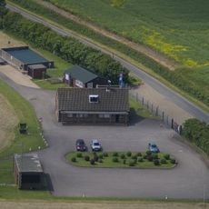
RAF Holmpton
65 m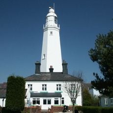
Withernsea Lighthouse
5.7 km
St. Patrick's Church, Patrington
5 km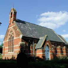
Church of St Helen
8.4 km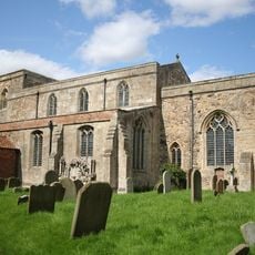
St Mary's Church, Welwick
3 km
Birstall Priory
4.6 km
RAF Holmpton - Visit the Bunker
80 m
Church of St Nicholas
3.2 km
Church of All Saints
5 km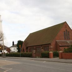
Church of St Matthew
5.7 km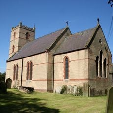
Church of St Nicholas
470 m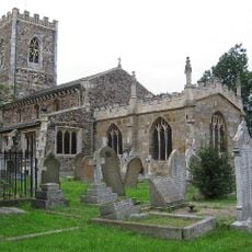
Church of St Nicholas
5.3 km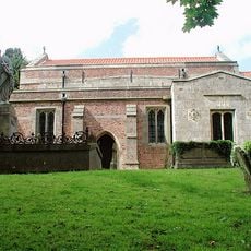
Church of St Germain
6.8 km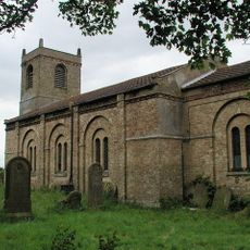
Church of St Mary
8 km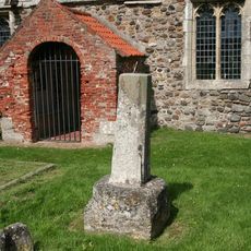
Cross Approximately 6 Metres South Of Church Of St Helen
3.9 km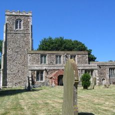
Church of St Helen
3.9 km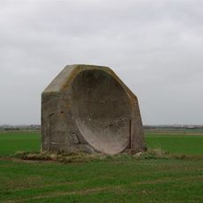
World War I acoustic mirror 335m north east of Kilnsea Grange
7.7 km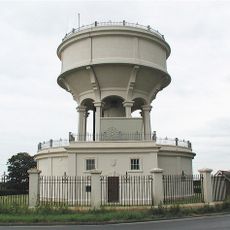
Rimswell Water Tower
7.8 km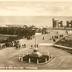
Withernsea Old War Memorial
5.3 km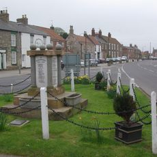
Patrington War Memorial
5.3 km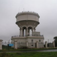
Gate, Flanking Walls And Railings Approximately 10 Metres West Of Rimswell Water Tower
7.8 km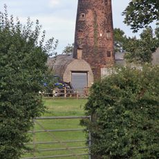
Patrington Mill
4.6 km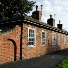
Linsdall's Hospital And Flanking Walls
4.8 km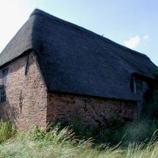
Tithe Barn
5 km
Channel Farmhouse
8.2 km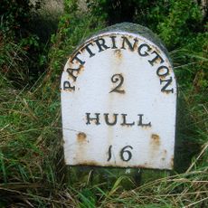
Milestone Approximately 30 Metres North West Of Junction With Winestead Ings Lane
7.8 km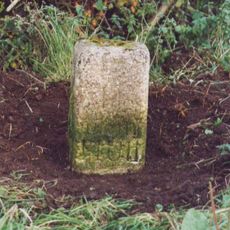
Milestone, Winestead, N of entrance to Manor Farm
7 km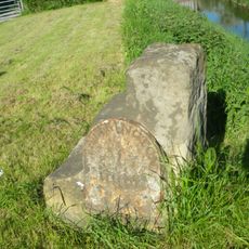
Milestone, Winstead Bridge, 1 mile W of Patrington
6.6 kmHeeft u deze plek bezocht? Tik op de sterren om een beoordeling te geven en uw ervaring of foto's te delen met de community! Probeer het nu! U kunt het op elk moment annuleren.
Ontdek verborgen schatten op elk avontuur!
Van karakteristieke kleine cafeetjes tot geheime uitzichtpunten – ontvlucht de drukte en vind plekken die echt bij jou passen. Onze app maakt het makkelijk: spraakzoekopdrachten, slimme filters, geoptimaliseerde routes en authentieke tips van reizigers wereldwijd. Download nu en beleef het avontuur op je smartphone!

Een nieuwe benadering van toeristische ontdekking❞
— Le Figaro
Alle plekken die de moeite waard zijn om te ontdekken❞
— France Info
Een uitstapje op maat in slechts een paar klikken❞
— 20 Minutes