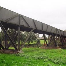
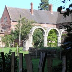
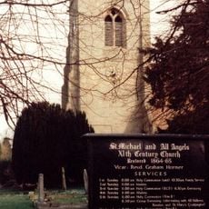
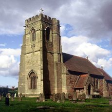
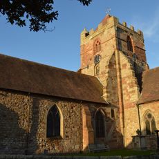
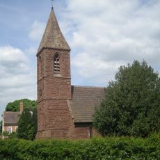
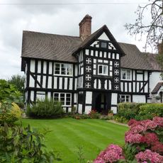
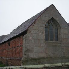
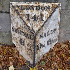
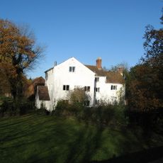
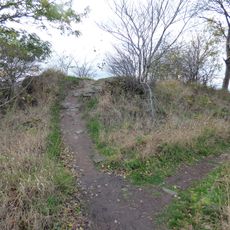
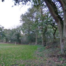
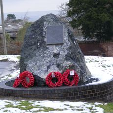
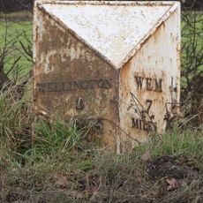
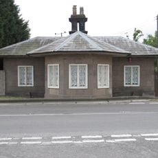
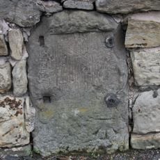
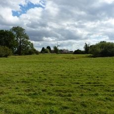
Rodington, dorp in Verenigd Koninkrijk
De community van nieuwsgierige reizigers
AroundUs brengt duizenden geselecteerde plaatsen, lokale tips en verborgen pareltjes samen, dagelijks verrijkt door meer dan 60,000 bijdragers wereldwijd.
Around Us is gemaakt voor je telefoon — richt je camera op de straten en ontdek de monumenten en plekken om je heen in augmented reality. Around Us is gemaakt voor je telefoon — kisten openen zich wanneer je loopt, ontdekt en plekken in de buurt vastlegt.
We hebben je locatie nodig om interessante plaatsen in je buurt te tonen
Vind interessante locaties en verborgen pareltjes om je heen
Krijg nauwkeurige routebeschrijvingen en afstanden naar plaatsen
Je locatie wordt nooit gedeeld met andere gebruikers. Het wordt alleen gebruikt wanneer je op de locatieknop tikt.

De community van nieuwsgierige reizigers
AroundUs brengt duizenden geselecteerde plaatsen, lokale tips en verborgen pareltjes samen, dagelijks verrijkt door meer dan 60,000 bijdragers wereldwijd.


Nog geen recensie
Nog geen discussie
Van karakteristieke kleine cafeetjes tot geheime uitzichtpunten – ontvlucht de drukte en vind plekken die echt bij jou passen. Onze app maakt het makkelijk: spraakzoekopdrachten, slimme filters, geoptimaliseerde routes en authentieke tips van reizigers wereldwijd. Download nu en beleef het avontuur op je smartphone!

Een nieuwe benadering van toeristische ontdekking❞
— Le Figaro
Alle plekken die de moeite waard zijn om te ontdekken❞
— France Info
Een uitstapje op maat in slechts een paar klikken❞
— 20 Minutes
Open de camera-app op je mobiel.
Richt je camera op de QR-code. Er verschijnt een melding.
Tik op de melding om de link te openen.