
Merthyr Mawr, dorp in Verenigd Koninkrijk
Locatie: Bridgend County Borough
GPS-coördinaten: 51.48556,-3.61028
Laatste update: 9 april 2025 om 00:51
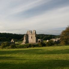
Ogmore Castle
558 m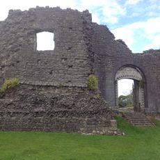
Newcastle Castle
3.2 km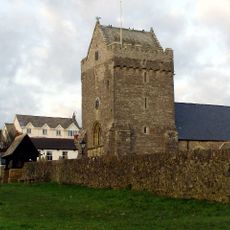
St John the Baptist Church
4.6 km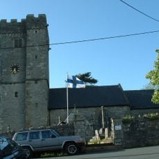
St David's Church
2.5 km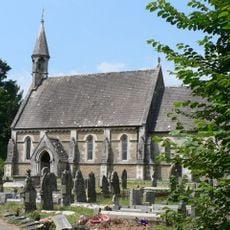
Church Of St Teilo
6 m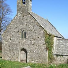
Church of St Tudwg
2.8 km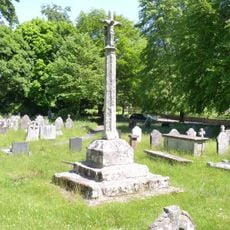
Preaching Cross in churchyard of St Teilo
24 m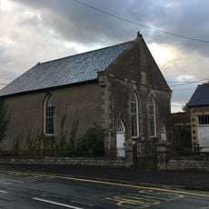
Horeb Welsh Calvinistic Methodist Chapel
2.4 km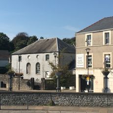
Elim Pentecostal Church
3.1 km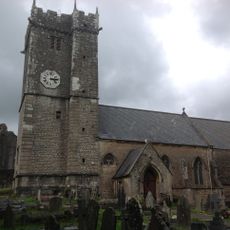
St Illtyd's Church
3.2 km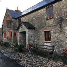
The Laleston Inn
2.5 km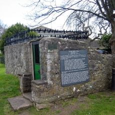
St John's Well aka Sandford's or de Sanford's Well
4.6 km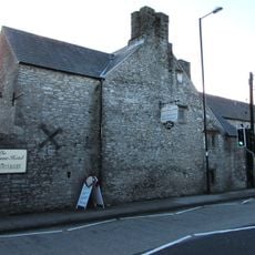
Tŷ Mawr Aka The Great House
2.4 km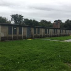
Hut 9 at former Prisoner of War Camp (198) and Special Camp XI, Island Farm
2 km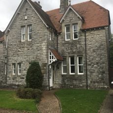
No.13 Merthyr Mawr Road, Former Preswylfa Children's Home
2.2 km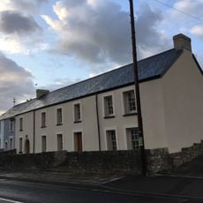
The Oystercatcher Public House
2.4 km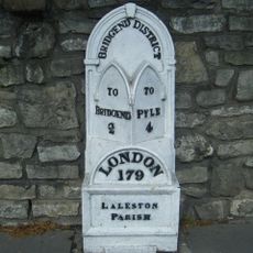
Milepost
2.4 km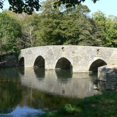
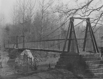
New Inn Bridge
1.2 km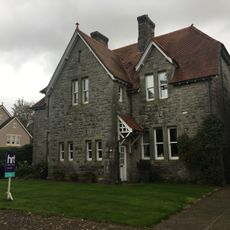
No.2 Merthyr Mawr Road, Former Preswylfa Children's Home
2.3 km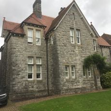
No.12 Merthyr Mawr Road, Former Preswylfa Children's Home
2.2 km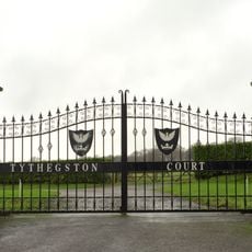
Tythegston Court
3 km
Newcastle House
3.1 km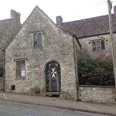
St John's Hospice
3.1 km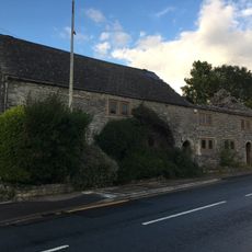
Village Farm House
2.4 km
Gate piers to Tythegston Court
2.9 km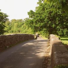
New Bridge
974 m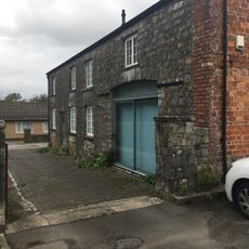
Coach House at Glanogwr, Glanogwr Road (Nw End)
2.4 km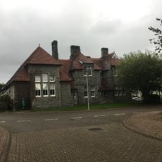
Administrative Block at Former Preswylfa Children's Home, Merthyr Mawr Road
2.3 kmBeoordelingen
Heeft u deze plek bezocht? Tik op de sterren om een beoordeling te geven en uw ervaring of foto's te delen met de community! Probeer het nu! U kunt het op elk moment annuleren.
Ontdek verborgen schatten op elk avontuur!
Van karakteristieke kleine cafeetjes tot geheime uitzichtpunten – ontvlucht de drukte en vind plekken die echt bij jou passen. Onze app maakt het makkelijk: spraakzoekopdrachten, slimme filters, geoptimaliseerde routes en authentieke tips van reizigers wereldwijd. Download nu en beleef het avontuur op je smartphone!

Een nieuwe benadering van toeristische ontdekking❞
— Le Figaro
Alle plekken die de moeite waard zijn om te ontdekken❞
— France Info
Een uitstapje op maat in slechts een paar klikken❞
— 20 Minutes