
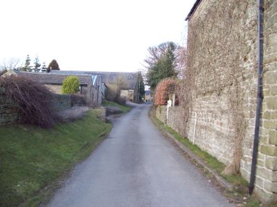
Thornhill, Derbyshire
Locatie: High Peak
Grenst aan: Aston, Bamford, Hope Woodlands, Brough and Shatton
GPS-coördinaten: 53.34800,-1.70400
Laatste update: 10 april 2025 om 02:19
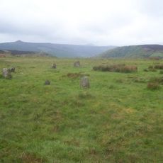
Hordron Edge stone circle
3.8 km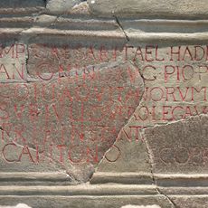
Navio Roman Fort
1.9 km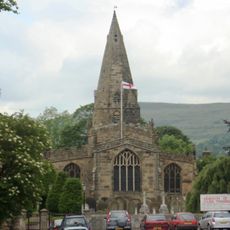
Church of St Peter
2.6 km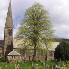
St John the Baptist church
965 m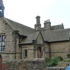
Roman Catholic Church of Our Lady of Sorrows and Attached Presbytery
935 m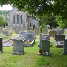
St Barnabas' Church, Bradwell
3.3 km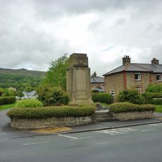
Hope War Memorial
2.5 km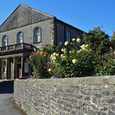
Methodist Church
3.5 km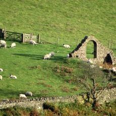
North Lees Chapel
3.5 km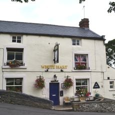
The White Hart Inn
3.4 km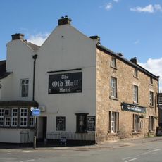
Old Hall Hotel
2.5 km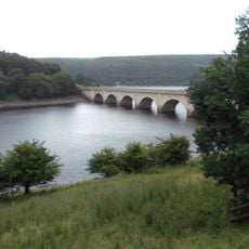
Ashopton Viaduct
3 km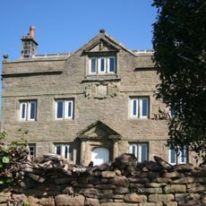
Aston Hall
1.3 km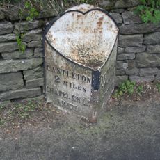
Mile Post at SK 176 834
2.3 km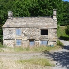
Former Gamekeepers Lodge At Brookfield Manor
3.5 km
Yorkshire Bridge
1.5 km
The Grey Ditch
2.9 km
Killhill Farmhouse
2.7 km
Offerton Hall
2.9 km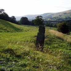
Navio Roman fort and vicus
1.8 km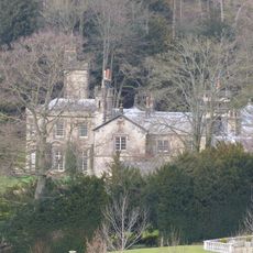
Brookfield Manor
3.4 km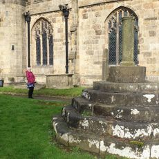
Standing cross in the churchyard of St Peter's Church
2.6 km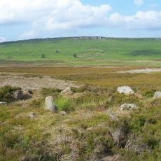
Stone circle, 960m north east of High Lees Farm
3.8 km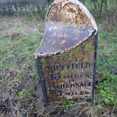
Mile Post At Os 189 826
1.2 km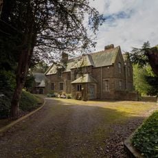
Rectory And Attached Coach House
1 km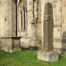
Anglian high cross in the churchyard of St Peter's Church
2.6 km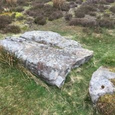
Prehistoric standing stone 1,030m south west of triangulation point on High Neb
2.5 km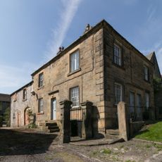
Stanley House and attached stableblock
3.4 kmBeoordelingen
Heeft u deze plek bezocht? Tik op de sterren om een beoordeling te geven en uw ervaring of foto's te delen met de community! Probeer het nu! U kunt het op elk moment annuleren.
Ontdek verborgen schatten op elk avontuur!
Van karakteristieke kleine cafeetjes tot geheime uitzichtpunten – ontvlucht de drukte en vind plekken die echt bij jou passen. Onze app maakt het makkelijk: spraakzoekopdrachten, slimme filters, geoptimaliseerde routes en authentieke tips van reizigers wereldwijd. Download nu en beleef het avontuur op je smartphone!

Een nieuwe benadering van toeristische ontdekking❞
— Le Figaro
Alle plekken die de moeite waard zijn om te ontdekken❞
— France Info
Een uitstapje op maat in slechts een paar klikken❞
— 20 Minutes