
Idbury, plaats in Oxfordshire
Locatie: West Oxfordshire
Grenst aan: Churchill, Fifield, Sarsden
GPS-coördinaten: 51.88100,-1.66100
Laatste update: 11 maart 2025 om 00:11
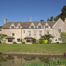
Icomb Place
3.2 km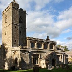
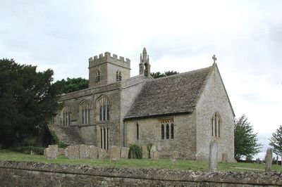
Church of St Leonard
2.5 km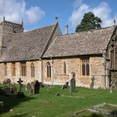
Church of St Laurence
4.4 km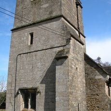
Church of St Mary
3.1 km
Bruern Abbey
3.3 km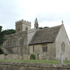
Church of St Nicholas
340 m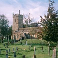
Church of St Andrew
4.2 km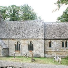
Church of St Mary
1.5 km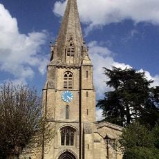
Church of St Mary, Shipton-under-Wychwood
5.1 km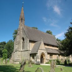
Church of St Simon and St Jude
3.5 km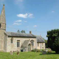
Church of St John the Baptist
1.7 km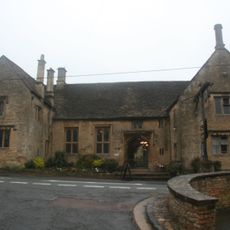
Shaven Crown Hotel
5.1 km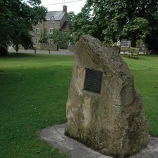
Kingham Memorial Stone
4.7 km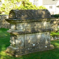
Morgan Bale Tomb About 3 Yards East Of Church Of St Mary
5.1 km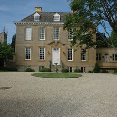
Kingham House
4.2 km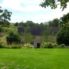
Tangley Hall
3.4 km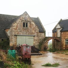
Barn And Adjoining Stable Garage Circa 6 Metres North West Of Gawcombe House
2.5 km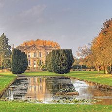
Bruern Abbey
3.1 km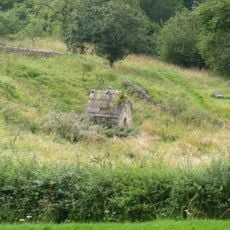
Well House Approximately 20 Metres South East Of Tangley Hall
3.5 km
House Immediately To North East Of Trinder's Farmhouse
4.7 km
Bobble Farmhouse And Attached Ourbuildings And Barn At Rear
4.3 km
Manor Farmhouse and Front Boundary Wall
845 m
The Old Prebendal
5.1 km
Icomb War Memorial
3.2 km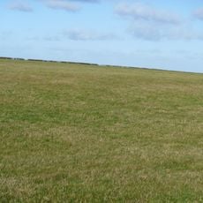
Idbury Camp hillfort
948 m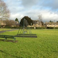
Gilberts Farmhouse
2.7 km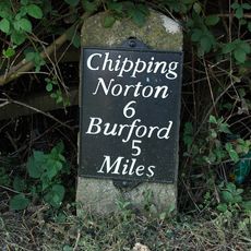
Milestone, Station Road; 20m S of turn to Shipton Mill
5.2 km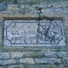
Guidestone, Plum Lane; corner of Shipton Court
5.1 kmHeeft u deze plek bezocht? Tik op de sterren om een beoordeling te geven en uw ervaring of foto's te delen met de community! Probeer het nu! U kunt het op elk moment annuleren.
Ontdek verborgen schatten op elk avontuur!
Van karakteristieke kleine cafeetjes tot geheime uitzichtpunten – ontvlucht de drukte en vind plekken die echt bij jou passen. Onze app maakt het makkelijk: spraakzoekopdrachten, slimme filters, geoptimaliseerde routes en authentieke tips van reizigers wereldwijd. Download nu en beleef het avontuur op je smartphone!

Een nieuwe benadering van toeristische ontdekking❞
— Le Figaro
Alle plekken die de moeite waard zijn om te ontdekken❞
— France Info
Een uitstapje op maat in slechts een paar klikken❞
— 20 Minutes