
Swyncombe, village and civil parish in South Oxfordshire district, Oxfordshire, England
Locatie: South Oxfordshire
GPS-coördinaten: 51.60675,-1.01523
Laatste update: 21 maart 2025 om 23:49
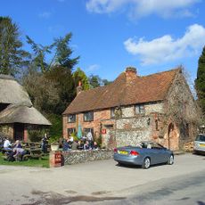
The Crown Inn Public House
4.2 km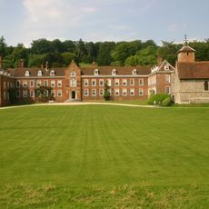
Stonor Park
6 km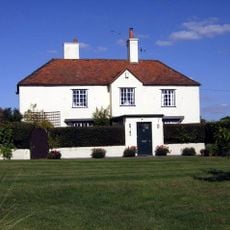
Crocker End House
4.1 km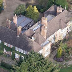
Nuffield Place
2.5 km
Nuffield Place (National Trust)
2.4 km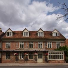
The White Hart Hotel
3.8 km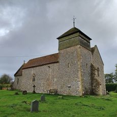
Church of the Holy Trinity
3.3 km
Bix old church
5.4 km
Church of St Bartholomew, Nettlebed
3.8 km
Church of St Nicholas
3.6 km
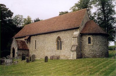
Church of St Botolph
62 m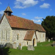
Pishill Church
4.4 km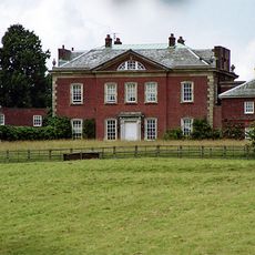
Britwell House and attached Walls and Coach House
2.7 km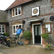
The Crown Public House
2.7 km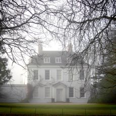
Turville Park
5.8 km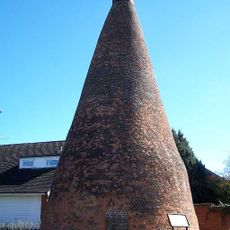
Nettlebed Kiln
3.9 km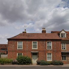
Myrtles
3.8 km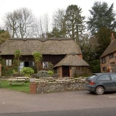
Barn Approximately 5 Metres North West Of The Crown Inn Public House
4.2 km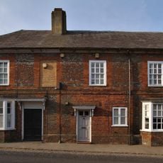
1 and 3, High Street
3.9 km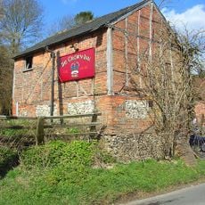
Stables Approximately 20 Metres West South West Of The Crown Inn Public House
4.2 km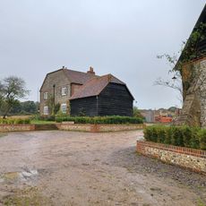
Howberry Wood Farm, Granary Approximately 5 Metres East Of Farmhouse
4.6 km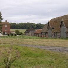
English Farmhouse
4.2 km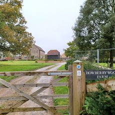
Howberry Wood Farmhouse
4.6 km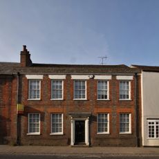
7, High Street
3.9 km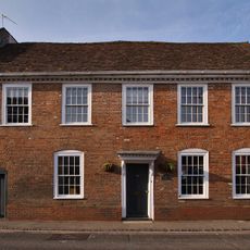
25, High Street
3.9 km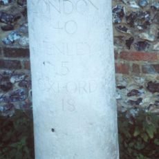
Milestone, High Street; W of church, E of petrol station
3.7 km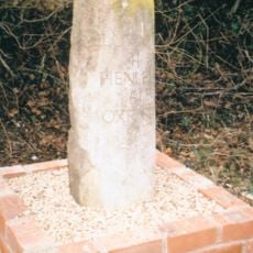
Milestone, Port Hill; 20m W of lane to Hayden Farm
3 km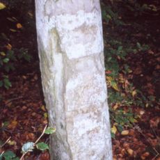
Milestone, Nettlebed Woods, half way down the straight
4.9 kmBeoordelingen
Heeft u deze plek bezocht? Tik op de sterren om een beoordeling te geven en uw ervaring of foto's te delen met de community! Probeer het nu! U kunt het op elk moment annuleren.
Ontdek verborgen schatten op elk avontuur!
Van karakteristieke kleine cafeetjes tot geheime uitzichtpunten – ontvlucht de drukte en vind plekken die echt bij jou passen. Onze app maakt het makkelijk: spraakzoekopdrachten, slimme filters, geoptimaliseerde routes en authentieke tips van reizigers wereldwijd. Download nu en beleef het avontuur op je smartphone!

Een nieuwe benadering van toeristische ontdekking❞
— Le Figaro
Alle plekken die de moeite waard zijn om te ontdekken❞
— France Info
Een uitstapje op maat in slechts een paar klikken❞
— 20 Minutes