
Baulking, village and civil parish in Vale of White Horse district, Oxfordshire, England
Locatie: Vale of White Horse
GPS-coördinaten: 51.61479,-1.54288
Laatste update: 25 maart 2025 om 04:12
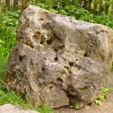
Blowing Stone
3.7 km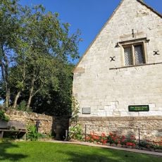
Tom Brown’s School Museum
2.2 km
Church of St Faith
2.8 km
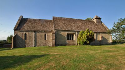
Church of St Nicholas
59 m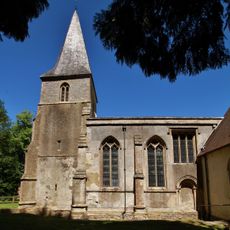
Church of the Holy Rood
4.4 km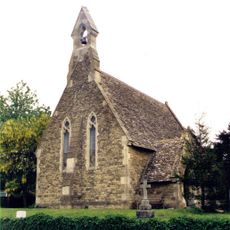
Church of St John
2.7 km
Church of St John the Baptist
3.3 km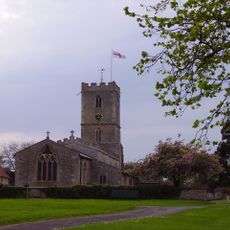
Church of St Denys
3.7 km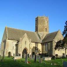
Church of St Mary
2.1 km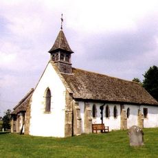
Church of All Saints
4 km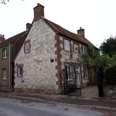
The Old Chapel House And Attached Gates
3.1 km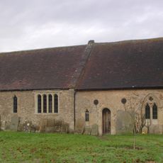
The Old Church of St George
4.5 km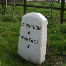
Milestone
3.2 km
Corner Cottage
2.7 km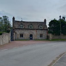
Kingston Lisle Park, The Lodge And Attached Gate Piers
3.3 km
Manor Farmhouse
3.2 km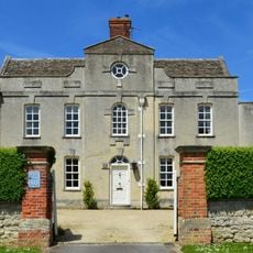
Coxs Hall
3.3 km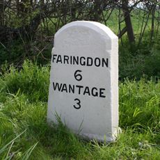
Milestone At Su 3612 9010
4.4 km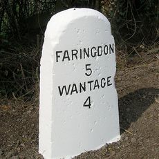
Milestone At Su 3505 9126
3.3 km
Thornhill House
3.2 km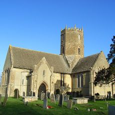
Uffington
3.6 km
Base And Stump Of Churchyard Cross Approximately 12 Metres North Of Church Of All Saints
4 km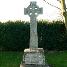
Kingston Lisle War Memorial
2.8 km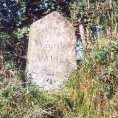
Milestone, Icknield Way; W of Blowing Stone
3.7 km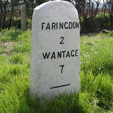
Milestone
3.6 km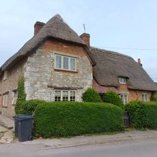
Little Farmhouse
3.2 km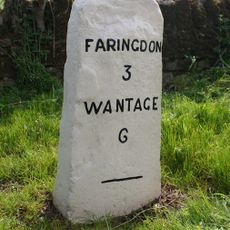
Milestone, Faringdon Road; E of Stanford Quarry
3.4 km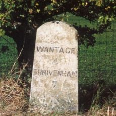
Milestone, Icknield Way; top of rise by Westcot
4.2 kmHeeft u deze plek bezocht? Tik op de sterren om een beoordeling te geven en uw ervaring of foto's te delen met de community! Probeer het nu! U kunt het op elk moment annuleren.
Ontdek verborgen schatten op elk avontuur!
Van karakteristieke kleine cafeetjes tot geheime uitzichtpunten – ontvlucht de drukte en vind plekken die echt bij jou passen. Onze app maakt het makkelijk: spraakzoekopdrachten, slimme filters, geoptimaliseerde routes en authentieke tips van reizigers wereldwijd. Download nu en beleef het avontuur op je smartphone!

Een nieuwe benadering van toeristische ontdekking❞
— Le Figaro
Alle plekken die de moeite waard zijn om te ontdekken❞
— France Info
Een uitstapje op maat in slechts een paar klikken❞
— 20 Minutes