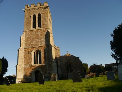
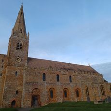
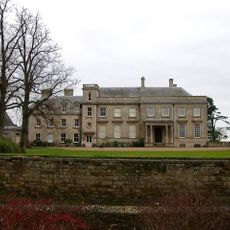
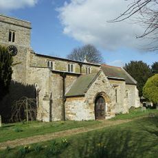
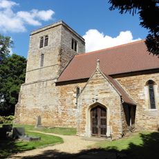
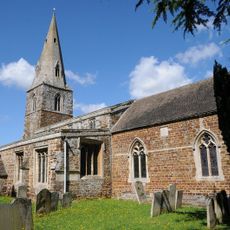
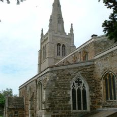
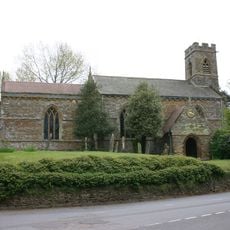
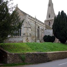
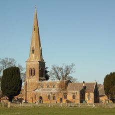
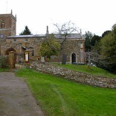
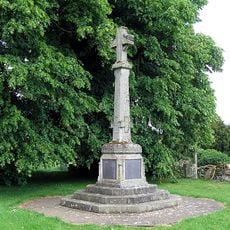
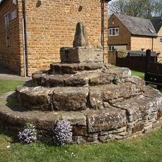
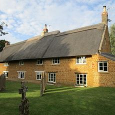
Old, Northamptonshire
Locatie: West Northamptonshire
GPS-coördinaten: 52.35400,-0.84890
Laatste update: 10 maart 2025 om 19:35
All Saints' Church, Brixworth
4.4 km
RAF Harrington
4.4 km
Lamport Hall
2.8 km
Pitsford Water
4.2 km
Church of St Andrew
392 m
Church of St Mary and All Saints
3.7 km
Church of All Saints, Lamport
2.9 km
Badsaddle, Withmale Park and Bush Walk Woods
5.1 km
St Catherine's Church, Draughton
4 km
Church of St Mary the Virgin
5 km
Birch Spinney and Mawsley Marsh
4 km
Church of St Andrew
5.7 km
Church of St Andrew
5.3 km
Church of St Peter and St Paul
3.7 km
Church of St Peter
2.2 km
Church of St Leonard
5.7 km
Church of St Peter and St Paul
1.9 km
Brixworth War Memorial
4.4 km
Brixworth market cross
4.5 km
Thor Missile Site At Former Raf Harrington Including The Pyrotechnic Store And Classified Storage Building To The West Of The Three Emplacements.
4.7 km
Stable Yard Cottages
5.7 km
Holcot War Memorial
3.9 km
801st & 492nd Bombardment Group 'The Carpetbaggers' Memorial, Harrington
4.2 km
The Old Rectory
2.9 km
Chest Tomb 15 Metres South Of Church Of St Leonard
5.7 km
Chest Tomb Half A Mile South Of South Aisle Of Church Of St Andrew
5.3 km
Squires' Farmhouse
5.6 km
White Hill Farmhouse
5.7 kmBeoordelingen
Heeft u deze plek bezocht? Tik op de sterren om een beoordeling te geven en uw ervaring of foto's te delen met de community! Probeer het nu! U kunt het op elk moment annuleren.
Ontdek verborgen schatten op elk avontuur!
Van karakteristieke kleine cafeetjes tot geheime uitzichtpunten – ontvlucht de drukte en vind plekken die echt bij jou passen. Onze app maakt het makkelijk: spraakzoekopdrachten, slimme filters, geoptimaliseerde routes en authentieke tips van reizigers wereldwijd. Download nu en beleef het avontuur op je smartphone!
Een nieuwe benadering van toeristische ontdekking❞
— Le Figaro
Alle plekken die de moeite waard zijn om te ontdekken❞
— France Info
Een uitstapje op maat in slechts een paar klikken❞
— 20 Minutes