
Hinton Waldrist, village and civil parish in Vale of White Horse district, Oxfordshire, England
Locatie: Vale of White Horse
GPS-coördinaten: 51.68891,-1.45798
Laatste update: 25 maart 2025 om 04:12
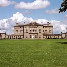
Buckland House
3.6 km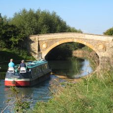
Tadpole Bridge
4.3 km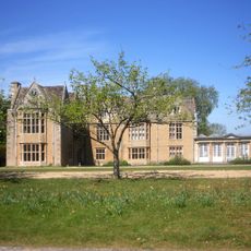
Carswell Manor
5.1 km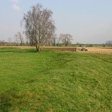
Cherbury Camp
2.8 km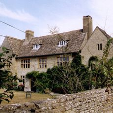
Charney Manor
4.6 km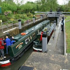
Shifford Lock
2 km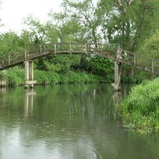
Tenfoot Bridge
2.3 km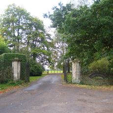
Longworth House
872 m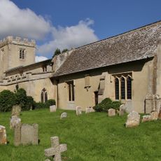
Church of St Mary
941 m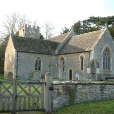
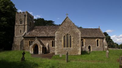
Church of St Margaret, Hinton Waldrist
75 m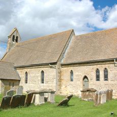
Church of St Mary
2.9 km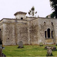
Church of All Saints
2.9 km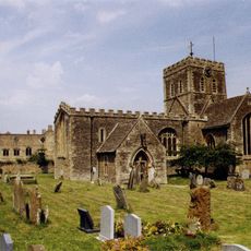
Church of St Mary, Buckland
3.4 km
Church of St John the Baptist
3.3 km
Roman Catholic Church of St George, Buckland
3.5 km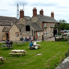
The Trout Inn
4.3 km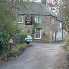
The Lamb Public House
3.6 km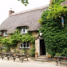
The Blue Boar Public House
1.5 km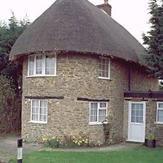
The Round House
1.6 km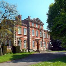
Kingston House
3.4 km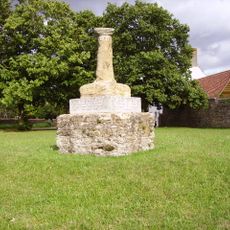
Village Cross
4.4 km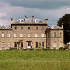
Pusey House
2.8 km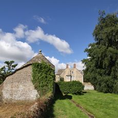
Longworth Manor, Wall And Gazebo 30 Metres East
875 m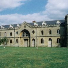
Manor House
3.4 km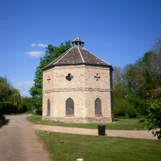
Home Farm Dovecote
4.2 km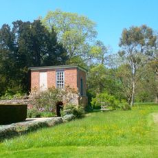
Gazebo, Terrace Walls, Gates, Gatepiers And Wall Approximately 74 Metres North West Of Kingston House
3.4 km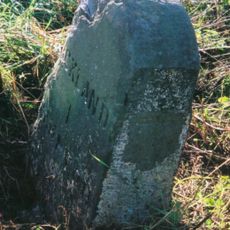
Milestone, Buckland Marsh; Gore Farm
4 km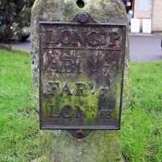
Milestone, Faringdon Road; in front of shops
2.4 kmBeoordelingen
Heeft u deze plek bezocht? Tik op de sterren om een beoordeling te geven en uw ervaring of foto's te delen met de community! Probeer het nu! U kunt het op elk moment annuleren.
Ontdek verborgen schatten op elk avontuur!
Van karakteristieke kleine cafeetjes tot geheime uitzichtpunten – ontvlucht de drukte en vind plekken die echt bij jou passen. Onze app maakt het makkelijk: spraakzoekopdrachten, slimme filters, geoptimaliseerde routes en authentieke tips van reizigers wereldwijd. Download nu en beleef het avontuur op je smartphone!

Een nieuwe benadering van toeristische ontdekking❞
— Le Figaro
Alle plekken die de moeite waard zijn om te ontdekken❞
— France Info
Een uitstapje op maat in slechts een paar klikken❞
— 20 Minutes