
Coleshill, Oxfordshire
Locatie: Vale of White Horse
Grenst aan: Buscot, Watchfield, Longcot, Great Coxwell
GPS-coördinaten: 51.64200,-1.66060
Laatste update: 11 april 2025 om 05:41
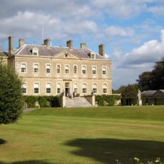
Buscot Park
3.2 km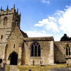
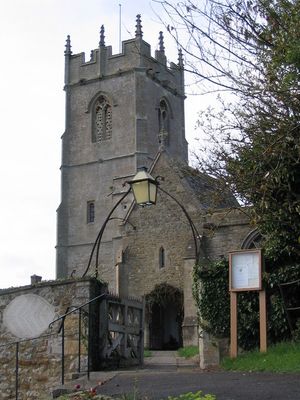
Church of All Saints
50 m
Buscot Park: East Pavilion With Attached Terrace Walls And Gatepier
3.2 km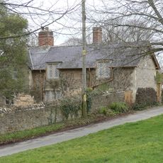
16 and 17, Church Lane
36 m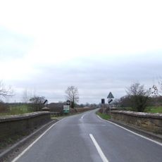
Coleshill Bridge
294 m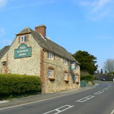
The Radnor Arms Public House
127 m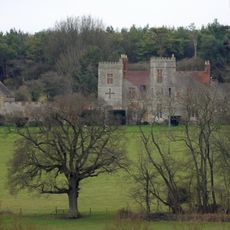
Strattenborough Castle
1.6 km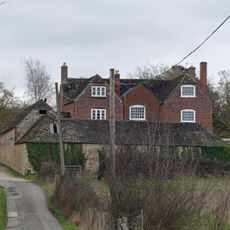
Collymore Farmhouse including former cattle shed range to south east
1.7 km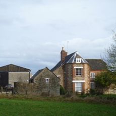
Ashencopse Farmhouse
1.5 km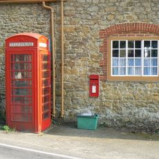
K6 telephone kiosk outside Coleshill Post Office
56 m
1 and 2
195 m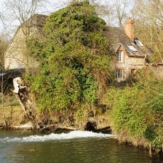
The Mill House
349 m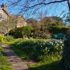
26 And 27
38 m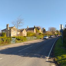
3 And 4
170 m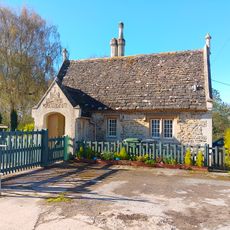
Lower Lodge To Coleshill Park
247 m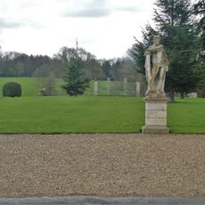
Buscot Park: Southern Screen With Attached Terrace Walls And Gate Piers
3.1 km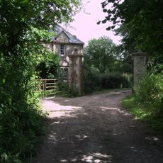
Waterloo Lodge
1.4 km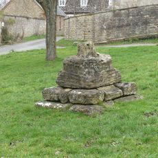
Village Cross
6 m
Courtleaze Farmhouse
179 m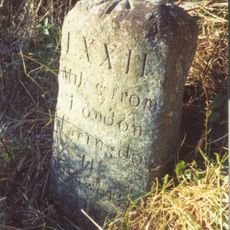
Milestone approximately 70 metres to west of turning to Great Coxwell
3.1 km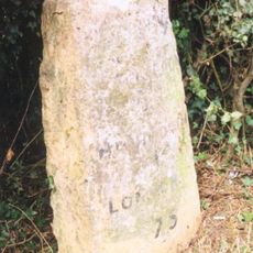
Milepost East Of Wicksted Farmhouse
1.6 km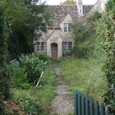
35-37
212 m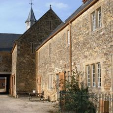
Courtleaze Farm buildings and attached gatepiers and rickyard walls
186 m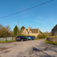
52 And 53
232 m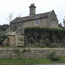
Bushells
37 m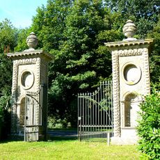
Coleshill Park, Great Piers, including cast iron gates
656 m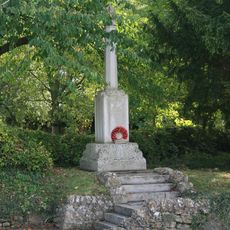
Coleshill War Memorial, Oxfordshire
104 m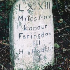
Milestone, W of Colleymore Farm
1.5 kmHeeft u deze plek bezocht? Tik op de sterren om een beoordeling te geven en uw ervaring of foto's te delen met de community! Probeer het nu! U kunt het op elk moment annuleren.
Ontdek verborgen schatten op elk avontuur!
Van karakteristieke kleine cafeetjes tot geheime uitzichtpunten – ontvlucht de drukte en vind plekken die echt bij jou passen. Onze app maakt het makkelijk: spraakzoekopdrachten, slimme filters, geoptimaliseerde routes en authentieke tips van reizigers wereldwijd. Download nu en beleef het avontuur op je smartphone!

Een nieuwe benadering van toeristische ontdekking❞
— Le Figaro
Alle plekken die de moeite waard zijn om te ontdekken❞
— France Info
Een uitstapje op maat in slechts een paar klikken❞
— 20 Minutes