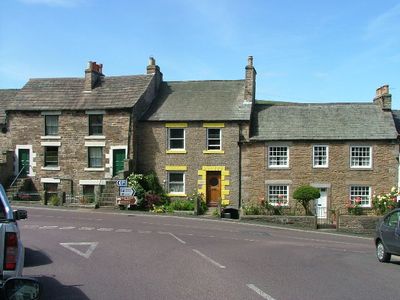
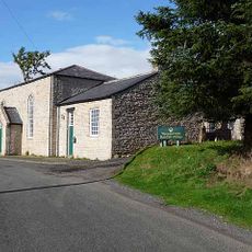
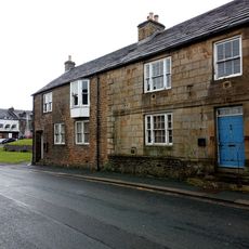
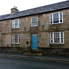
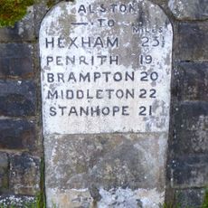
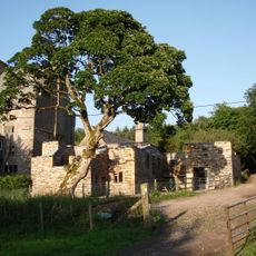
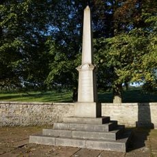
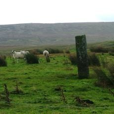
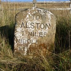
Alston Moor, civil parish, ward and former rural district in Eden, Cumbria, England, based around the small town of Alston
Locatie: Eden
Website: https://alstonmoor.org
GPS-coördinaten: 54.81200,-2.44100
Laatste update: 5 maart 2025 om 00:06
Cross Fell
12.5 km
Burnhope Seat
11.2 km
Throssel Hole Buddhist Abbey
8.6 km
Ashgill Force
7.2 km
Moorhouse and Cross Fell
11.2 km
Black Fell
7.2 km
South Tynedale Railway
304 m
Alston Town Hall
39 m
Church of St Augustine
127 m
Church of the Holy Paraclete
3.5 km
Alston bridge
310 m
Whiteley Shield Methodist Chapel
8.6 km
Congregational Chapel
5.1 km
Alston railway bridge
1.1 km
Nenthead Methodist Church
6.9 km
Kirkhaugh footbridge
3.8 km
Cross 10 Metres South Of Parish Church Door
3.5 km
St John the Evangelist
6.7 km
Methodist Church
8.5 km
Blue Bell Hotel
29 m
Monument View
60 m
House Adjoining South End Of Blue Bell Hotel
38 m
Milestone Set Into Rounded Corner Of Wall To West Of Town Hall
45 m
Clarghyll Hall
3 km
Market Cross
146 m
Alston War Memorial
396 m
Boundary Stone C1600 Yards South West Of Nenthead In Field On Douth Side Of Road
6.5 km
Milestone To South Of Ladygill Bridge
10.1 kmHeeft u deze plek bezocht? Tik op de sterren om een beoordeling te geven en uw ervaring of foto's te delen met de community! Probeer het nu! U kunt het op elk moment annuleren.
Ontdek verborgen schatten op elk avontuur!
Van karakteristieke kleine cafeetjes tot geheime uitzichtpunten – ontvlucht de drukte en vind plekken die echt bij jou passen. Onze app maakt het makkelijk: spraakzoekopdrachten, slimme filters, geoptimaliseerde routes en authentieke tips van reizigers wereldwijd. Download nu en beleef het avontuur op je smartphone!
Een nieuwe benadering van toeristische ontdekking❞
— Le Figaro
Alle plekken die de moeite waard zijn om te ontdekken❞
— France Info
Een uitstapje op maat in slechts een paar klikken❞
— 20 Minutes