
Curdworth, village in Warwickshire, UK
Locatie: North Warwickshire
GPS-coördinaten: 52.53246,-1.73578
Laatste update: 11 maart 2025 om 18:07
The Belfry Golf Club
2.4 km
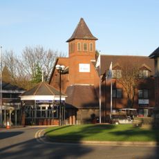
Sentinel
4.7 km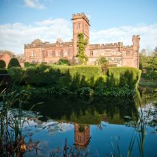
New Hall Manor
5.1 km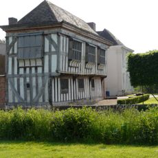
Middleton Hall
5.6 km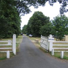
Blyth Hall
3.9 km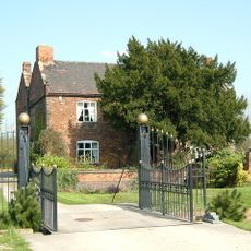
Peddimore Hall
2.9 km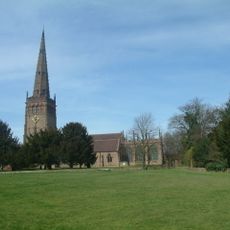
Church of St Peter and St Paul, Coleshill
4.3 km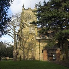
Church of St Peter & St Paul, Kingsbury
4.9 km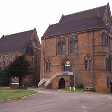
The Pumping Station, Whitacre Waterworks
3.9 km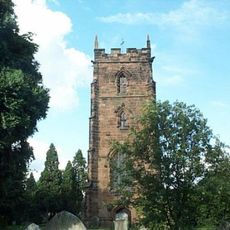
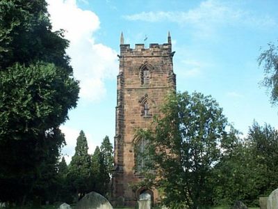
Church of St Nicholas and St Peter ad Vincula, Curdworth
241 m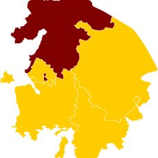
Hemlingford
3.7 km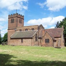
St Chad's Church, Wishaw
1.8 km
New Hall Manor Estate
4.6 km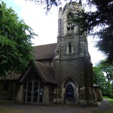
St Peter and St Paul's Church, Water Orton
1.7 km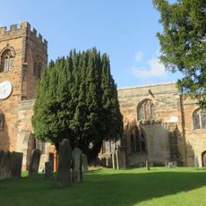
Church of St John the Baptist, Middleton
5.6 km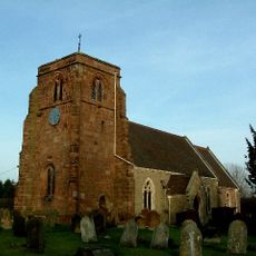
Church of St Giles
5.1 km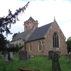
Church of St John the Baptist
2.4 km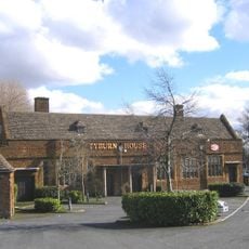
The Tyburn Public House (Including Outbuilding And Courtyard Wall To East)
4.6 km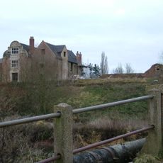
Kingsbury Hall
4.9 km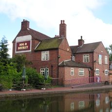
Dog And Doublet Inn
3.8 km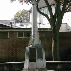
Walmley War Memorial
4.5 km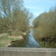
Blyth Bridge
4.2 km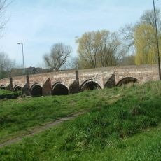
Cole Bridge
3.8 km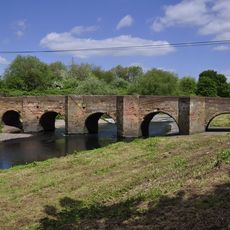
Water Orton Bridge
1.5 km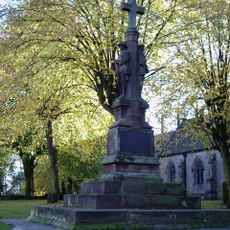
Coleshill War Memorial, Warwickshire
4.2 km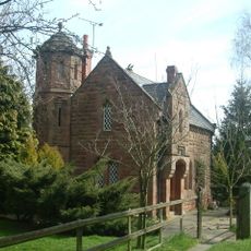
Blythe Lodge
4.4 km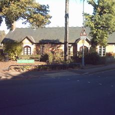
Walmley Almshouses
4.5 km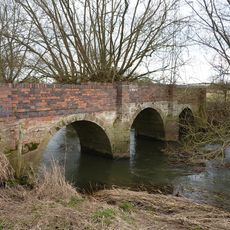
Blyth Hall Packhorse Bridge
3.5 kmBeoordelingen
Heeft u deze plek bezocht? Tik op de sterren om een beoordeling te geven en uw ervaring of foto's te delen met de community! Probeer het nu! U kunt het op elk moment annuleren.
Ontdek verborgen schatten op elk avontuur!
Van karakteristieke kleine cafeetjes tot geheime uitzichtpunten – ontvlucht de drukte en vind plekken die echt bij jou passen. Onze app maakt het makkelijk: spraakzoekopdrachten, slimme filters, geoptimaliseerde routes en authentieke tips van reizigers wereldwijd. Download nu en beleef het avontuur op je smartphone!

Een nieuwe benadering van toeristische ontdekking❞
— Le Figaro
Alle plekken die de moeite waard zijn om te ontdekken❞
— France Info
Een uitstapje op maat in slechts een paar klikken❞
— 20 Minutes