
Sheen, Engeland
Locatie: Staffordshire Moorlands
Grenst aan: Longnor, Hartington Town Quarter, Alstonefield, Fawfieldhead, Heathylee
GPS-coördinaten: 53.14890,-1.83417
Laatste update: 3 maart 2025 om 00:16
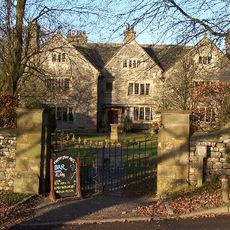
Hartington Hall
2.2 km
Pilsbury Castle
2.5 km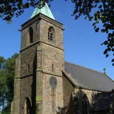
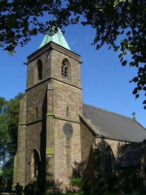
Church of St Luke
226 m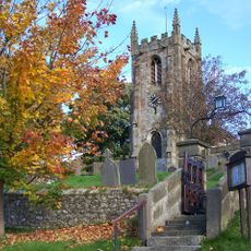
Church of St Giles
2 km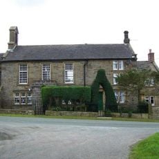
Church of St John (and Attached School House)
2.9 km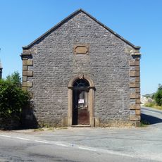
Former Methodist Chapel
2.1 km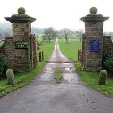
Gatepiers, gates and approaches formerly to Beresford Hall (now demolished) 25 metres south of Raikes Farmhouse
1.8 km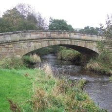
Bridge Over River Manifold
2.1 km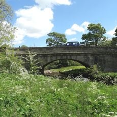
Piggenhole Bridge
3 km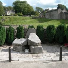
Hartington War Memorial
2 km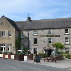
Charles Cotton Hotel
1.8 km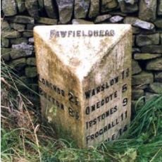
Milepost, N of New Road
2.3 km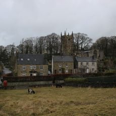
Dale House
2 km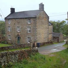
New House Farm and attached gate piers
1 km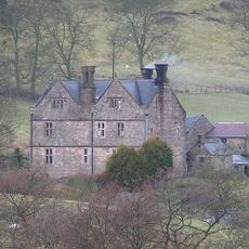
Broadmeadow Hall
2 km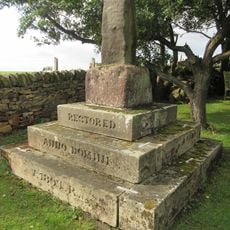
Knowsley Cross
2.8 km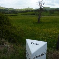
Milepost Hartington 1 Mile
1.8 km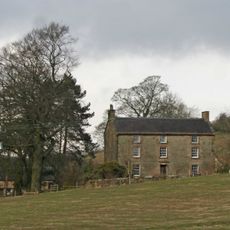
Over Boothlow Farmhouse
2.8 km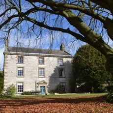
Pilsbury Farmhouse
2.2 km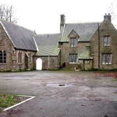
School and attached School House
184 m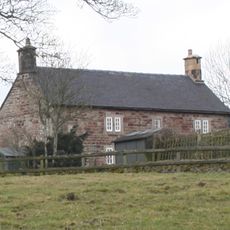
Ridge End Farmhouse
1.9 km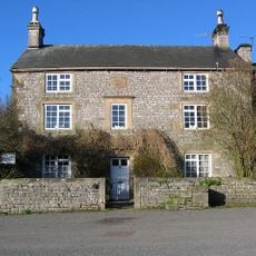
The Old Vicarage and attached garden wall
1.8 km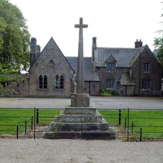
Village cross and corner posts approximately 50 metres west of school
179 m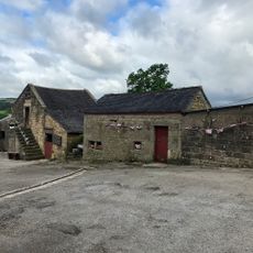
Stable Approximately 10 Metres North Of Low End Farmhouse
1.2 km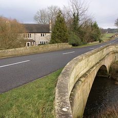
Hartington Bridge
1.7 km
Bowl barrow 170m north of The Low
2.8 km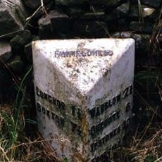
Milepost, Ridge Farm
3.1 km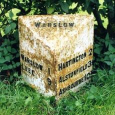
Milepost, W of Hulme End
2.3 kmHeeft u deze plek bezocht? Tik op de sterren om een beoordeling te geven en uw ervaring of foto's te delen met de community! Probeer het nu! U kunt het op elk moment annuleren.
Ontdek verborgen schatten op elk avontuur!
Van karakteristieke kleine cafeetjes tot geheime uitzichtpunten – ontvlucht de drukte en vind plekken die echt bij jou passen. Onze app maakt het makkelijk: spraakzoekopdrachten, slimme filters, geoptimaliseerde routes en authentieke tips van reizigers wereldwijd. Download nu en beleef het avontuur op je smartphone!

Een nieuwe benadering van toeristische ontdekking❞
— Le Figaro
Alle plekken die de moeite waard zijn om te ontdekken❞
— France Info
Een uitstapje op maat in slechts een paar klikken❞
— 20 Minutes