
Syderstone, village and civil parish in Norfolk, United Kingdom
Locatie: King's Lynn and West Norfolk
GPS-coördinaten: 52.86417,0.73403
Laatste update: 23 maart 2025 om 11:45

Houghton Hall
6.6 km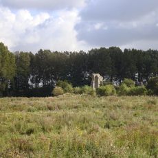
Coxford Priory
4.2 km
Waterden medieval settlement remains
5.5 km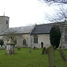
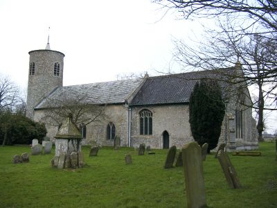
Church of St Mary
955 m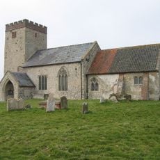
Church of All Saints
4.1 km
Church of All Saints
3.3 km
Church of St Peter
4.7 km
Church of All Saints
5.1 km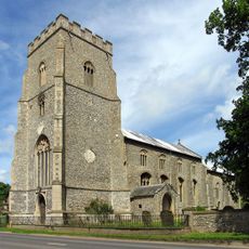
Church of St Mary
4.8 km
Church of St Mary
5.1 km
Church of St Nicholas, Shereford
5.8 km
Church of St Margaret
5.4 km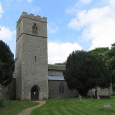
Church of All Saints
5.4 km
Church of St Peter
5.9 km
Church of St Mary and All Saints
5.9 km
Church of St Mary
3.4 km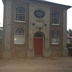
Primitive Methodist Ebenezer Chapel
5.1 km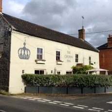
The Crown Public House
5.1 km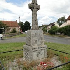
South Creake War Memorial
3.4 km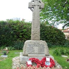
Syderstone War Memorial Cross
976 m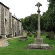
North Creake War Memorial
4.8 km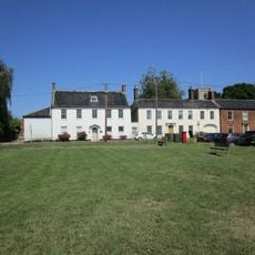
Mulberry Tree House
5.1 km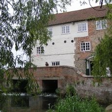
Mill House
5.8 km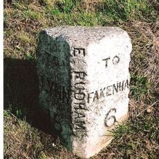
Milestone, 80yds E of jct with Eye Lane
4.5 km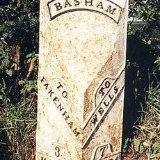
Milepost, 150yds S of X-rds to W Barsham, opp. S end of layby
5.8 km
Milestone, 30yds E of gate to Coxford Nurseries, opp. cottages
3.8 km
Milestone, opp. drive between "Rosedean" and "Albion House"
5.6 km
Milepost, c.1/5 mile N of farm and X-tracks
5.8 kmHeeft u deze plek bezocht? Tik op de sterren om een beoordeling te geven en uw ervaring of foto's te delen met de community! Probeer het nu! U kunt het op elk moment annuleren.
Ontdek verborgen schatten op elk avontuur!
Van karakteristieke kleine cafeetjes tot geheime uitzichtpunten – ontvlucht de drukte en vind plekken die echt bij jou passen. Onze app maakt het makkelijk: spraakzoekopdrachten, slimme filters, geoptimaliseerde routes en authentieke tips van reizigers wereldwijd. Download nu en beleef het avontuur op je smartphone!

Een nieuwe benadering van toeristische ontdekking❞
— Le Figaro
Alle plekken die de moeite waard zijn om te ontdekken❞
— France Info
Een uitstapje op maat in slechts een paar klikken❞
— 20 Minutes