
Langtoft, village in the East Riding of Yorkshire, England, United Kingdom
Locatie: East Riding of Yorkshire
GPS-coördinaten: 54.08813,-0.45783
Laatste update: 3 maart 2025 om 22:38
Danes Graves
3.8 km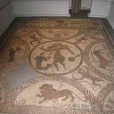
Rudston Roman villa
8 km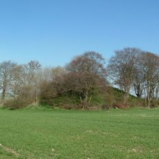
Willy Howe
7.5 km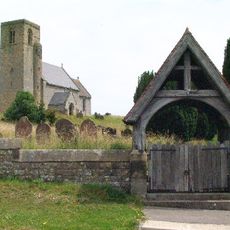
Church of St Andrew
6 km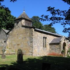
Church of All Saints
7.2 km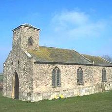
Church of Saint Nicholas
7.6 km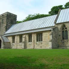
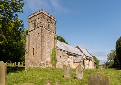
Church of Saint Peter
183 m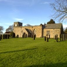
Church of All Saints
5.1 km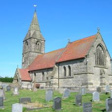
Church of St Peter
6.7 km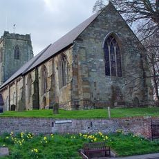
Church of All Saints
6 km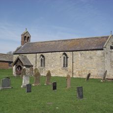
Church of St Nicholas
4.9 km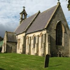
Church of St Mary
4.6 km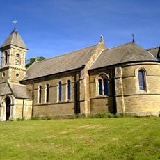
Church of St Mary
6.3 km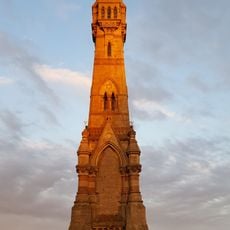
Sir Tatton Sykes Memorial Tower
7.3 km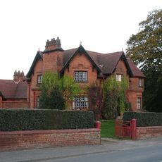
The Villa
7.9 km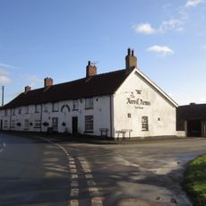
The Anvil Arms Public House And Cottage Adjoining To Left
7.1 km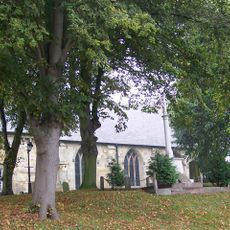
Kilham War Memorial
6 km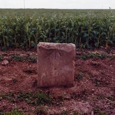
Milestone, W of Cowlam X rds
5.1 km
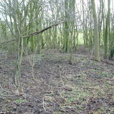
Swaythorpe medieval settlement
3.5 km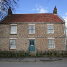
High Farmhouse
5.5 km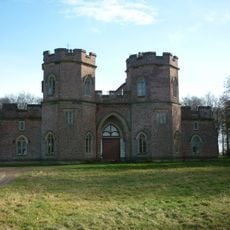
The Castle
6.5 km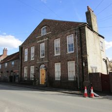
Hall Farmhouse
6.1 km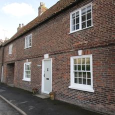
Rutland House
6 km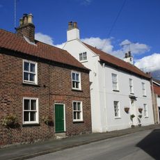
Eastgate House
6.1 km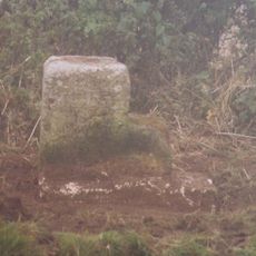
Milestone, between Little Kendale and Field House Farm
7.6 km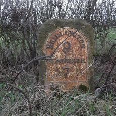
Milestone, ¼ mile W of jct. to Octon
3.4 km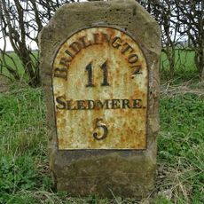
Milestone, 1 mile W of X rds B1249
2.2 km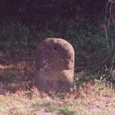
Milestone, W end of Garton on the Wolds village
7.8 kmHeeft u deze plek bezocht? Tik op de sterren om een beoordeling te geven en uw ervaring of foto's te delen met de community! Probeer het nu! U kunt het op elk moment annuleren.
Ontdek verborgen schatten op elk avontuur!
Van karakteristieke kleine cafeetjes tot geheime uitzichtpunten – ontvlucht de drukte en vind plekken die echt bij jou passen. Onze app maakt het makkelijk: spraakzoekopdrachten, slimme filters, geoptimaliseerde routes en authentieke tips van reizigers wereldwijd. Download nu en beleef het avontuur op je smartphone!

Een nieuwe benadering van toeristische ontdekking❞
— Le Figaro
Alle plekken die de moeite waard zijn om te ontdekken❞
— France Info
Een uitstapje op maat in slechts een paar klikken❞
— 20 Minutes