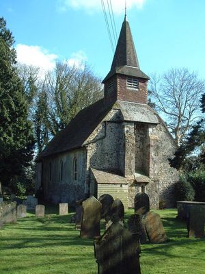
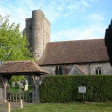
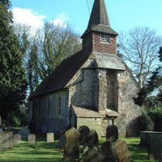
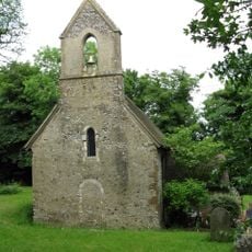
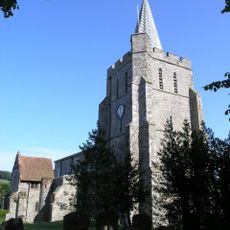
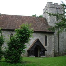
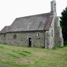
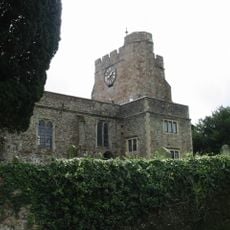
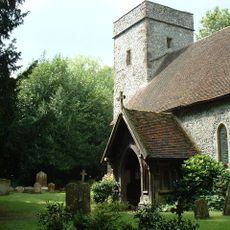
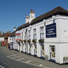
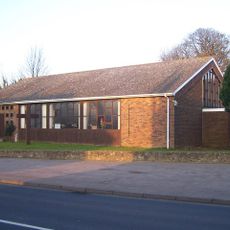
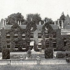
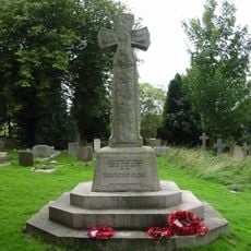
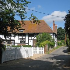
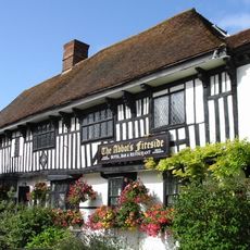
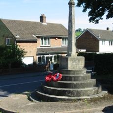
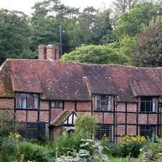
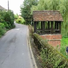
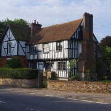
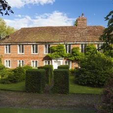
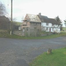
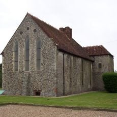
Acrise, ecclesiastical and civil parish in Shepway District, Kent
Locatie: Folkestone and Hythe District
GPS-coördinaten: 51.13844,1.13445
Laatste update: 23 mei 2025 om 05:48
Kent Battle of Britain Museum
3.1 km
Acrise Place
168 m
Park Gate Down
4.3 km
St Peter's Church, Swingfield
4.1 km
Church of St Martin
128 m
Folkestone to Etchinghill Escarpment
4 km
Church of St Michael
4.3 km
Church of St Mary the Virgin
2.2 km
Church of St Mary Magdalene
4.9 km
St Oswald's Church, Paddlesworth
2.6 km
Church of St Mary and St Ethelburga, and Remains of the Older Church to South
3.6 km
Church of St Martin
5.2 km
The Rose And Crown Inn
2.3 km
St Luke's
3.5 km
Denton Court And Entrance Court
5 km
Lyminge War Memorial
3.6 km
Boyke Manor
2.6 km
The Abbots Fireside Hotel And Restaurant
2.3 km
Elham War Memorial
2.4 km
Tappington Hall
4.2 km
St Ethelburga's Well And Wall To North And South
3.5 km
Old Robus
3.3 km
Lindon Hall
3.3 km
Parsonage Farmhouse
2.7 km
Milestone, Canterbury Road, Selsted, 200m N of jct with Mansell Lane
2.8 km
Milestone, Canterbury Road, Swingfield Minnis, by "Thornedene"
2 km
Milestone, Canterbury Road, N of Coombe Lane, by Milestone Caravans
3.7 km
Swingfield Preceptory
4.2 kmHeeft u deze plek bezocht? Tik op de sterren om een beoordeling te geven en uw ervaring of foto's te delen met de community! Probeer het nu! U kunt het op elk moment annuleren.
Ontdek verborgen schatten op elk avontuur!
Van karakteristieke kleine cafeetjes tot geheime uitzichtpunten – ontvlucht de drukte en vind plekken die echt bij jou passen. Onze app maakt het makkelijk: spraakzoekopdrachten, slimme filters, geoptimaliseerde routes en authentieke tips van reizigers wereldwijd. Download nu en beleef het avontuur op je smartphone!
Een nieuwe benadering van toeristische ontdekking❞
— Le Figaro
Alle plekken die de moeite waard zijn om te ontdekken❞
— France Info
Een uitstapje op maat in slechts een paar klikken❞
— 20 Minutes