
Thorngumbald, plaats in East Riding of Yorkshire
Locatie: East Riding of Yorkshire
GPS-coördinaten: 53.72080,-0.17150
Laatste update: 28 maart 2025 om 13:17

Fort Paull
3.9 km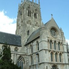
St. Augustine's Church, Hedon
3 km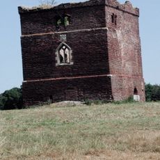
Paull Holme Tower
2.7 km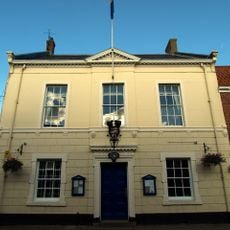
Hedon Town Hall
2.8 km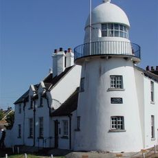
Paull Lighthouse
4.1 km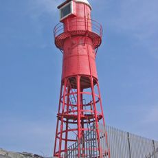
Thorngumbald Clough High Lighthouse
3.8 km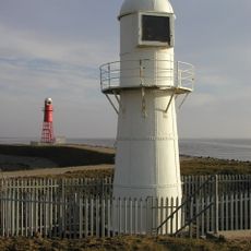
Thorngumbald Clough Low Lighthouse
3.9 km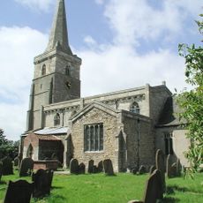
Church of St Wilfred
6.4 km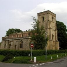
Church of St Nicholas
3.9 km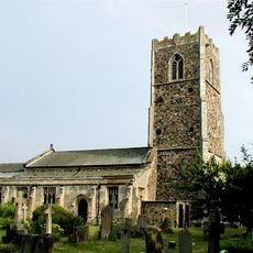
Church of All Saints
2.5 km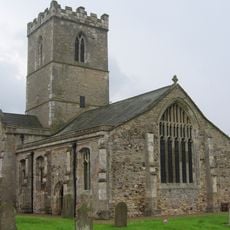
Church of St Andrew
3.6 km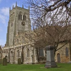
Church of All Saints
4.6 km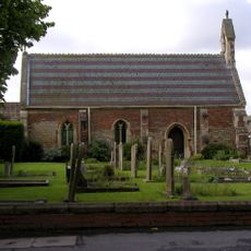
Church of St Mary
27 m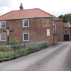
Church of St Mary and St Joseph
2.7 km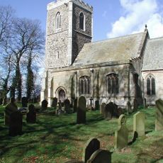
Church of All Saints
6.2 km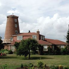
Windmill Tower At Mill Nurseries
4.9 km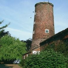
Windmill Tower Approximately 20 Metres South West Of Mill House
3.7 km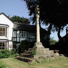
Ravenspurn Cross
2.8 km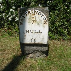
Milestone Approximately 30 Metres South Of Southlands
1 km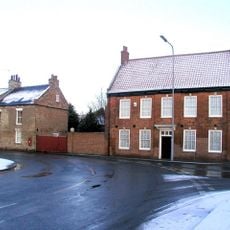
The Old Hall
2.6 km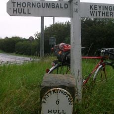
Milestone Approximately 150 Metres North-West Of High Bridge
2.5 km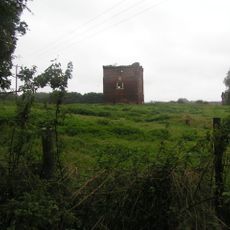
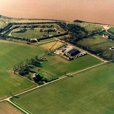
Paull Holme moated site and tower
2.8 km
Base Of St Philip's Cross Approximately 10 Centimetres East Of Ebor House
3.9 km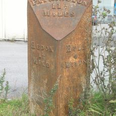
Milestone, Salt End TI, NW corner
4.8 km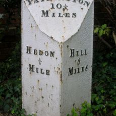
Milestone, Hull Road, Hedon
3.2 km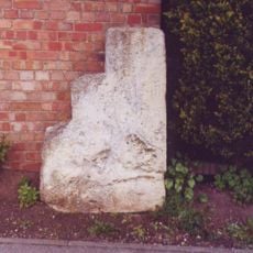
Milestone, On Souttergate, Hedon, at jct of one way system
3.2 km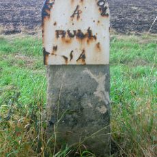
Milestone, E of Keyingham village
5.4 km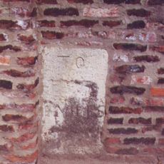
Milestone, Preston Church
4.6 kmHeeft u deze plek bezocht? Tik op de sterren om een beoordeling te geven en uw ervaring of foto's te delen met de community! Probeer het nu! U kunt het op elk moment annuleren.
Ontdek verborgen schatten op elk avontuur!
Van karakteristieke kleine cafeetjes tot geheime uitzichtpunten – ontvlucht de drukte en vind plekken die echt bij jou passen. Onze app maakt het makkelijk: spraakzoekopdrachten, slimme filters, geoptimaliseerde routes en authentieke tips van reizigers wereldwijd. Download nu en beleef het avontuur op je smartphone!

Een nieuwe benadering van toeristische ontdekking❞
— Le Figaro
Alle plekken die de moeite waard zijn om te ontdekken❞
— France Info
Een uitstapje op maat in slechts een paar klikken❞
— 20 Minutes