
Chelwood, plaats in Somerset
Locatie: Bath and North East Somerset
GPS-coördinaten: 51.35490,-2.52490
Laatste update: 10 maart 2025 om 16:47

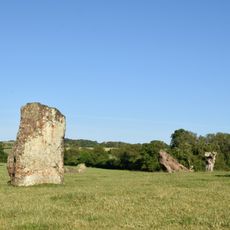
Stanton Drew stone circles
3.8 km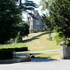
Cholwell House
3.6 km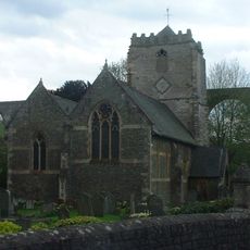
St Thomas à Becket Church, Pensford
2.5 km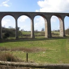
Pensford Viaduct
2.6 km
Folly Farm, Somerset
3.2 km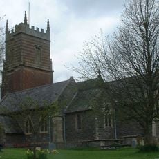
Church of St Augustine, Clutton
3.2 km
Church of All Saints, Publow
2.6 km
Church of St Mary the Virgin, Stanton Drew
4 km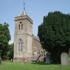
Church of St Leonard, Chelwood
892 m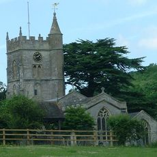
Church of St Mary
2.9 km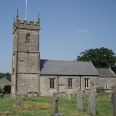
Church of All Saints, Farmborough
2.9 km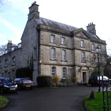
The Court
4 km
Bridge Over The River Chew
2.5 km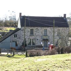
The Gamekeeper Public House
2.9 km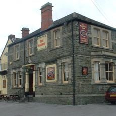
Railway Hotel
2.8 km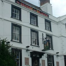
George And Dragon Public House
2.4 km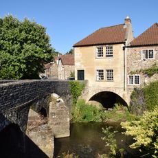
Bridge House
2.5 km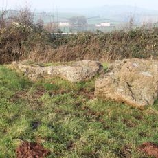
Large irregular stone circle at Stanton Drew south east of Church Farm
3.8 km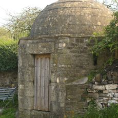
Round House
2.4 km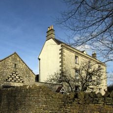
Conygre House
2.5 km
Hunstrete House, Flank Wall And West Wing
1.2 km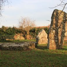
Stone cove at Stanton Drew 25m south west of St Mary's Church
4 km
Arcade About 200 Metres North West Of Hunstrete House
1.1 km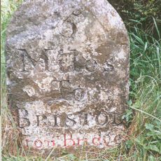
Milestone At National Grid Reference St 6169 6506
3.7 km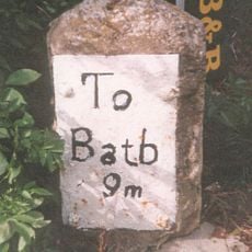
Milestone, Bath Road, Farmborough village, jct with Hunstrete Road
2.6 km
Milestone, New Road, Pensford
2.3 km
Milestone, Red Hill, N of Clutton
1.7 km
Milestone, Clutton opp. Warwick Arms
3 kmHeeft u deze plek bezocht? Tik op de sterren om een beoordeling te geven en uw ervaring of foto's te delen met de community! Probeer het nu! U kunt het op elk moment annuleren.
Ontdek verborgen schatten op elk avontuur!
Van karakteristieke kleine cafeetjes tot geheime uitzichtpunten – ontvlucht de drukte en vind plekken die echt bij jou passen. Onze app maakt het makkelijk: spraakzoekopdrachten, slimme filters, geoptimaliseerde routes en authentieke tips van reizigers wereldwijd. Download nu en beleef het avontuur op je smartphone!

Een nieuwe benadering van toeristische ontdekking❞
— Le Figaro
Alle plekken die de moeite waard zijn om te ontdekken❞
— France Info
Een uitstapje op maat in slechts een paar klikken❞
— 20 Minutes