·

Locatie inschakelen

We hebben je locatie nodig om interessante plaatsen in je buurt te tonen

Ontdek plaatsen in de buurt

Vind interessante locaties en verborgen pareltjes om je heen

Precieze routebeschrijving

Krijg nauwkeurige routebeschrijvingen en afstanden naar plaatsen

Je locatie wordt nooit gedeeld met andere gebruikers. Het wordt alleen gebruikt wanneer je op de locatieknop tikt.

Sheepstor

Inloggen op je account

Begin met ontdekken — het is gratis

Vertrouwd door 62.677 reizigers wereldwijd

Doorgaan met Google
Doorgaan met Apple
of

We sturen je een code om te verbinden

Door door te gaan, accepteer je onze Algemene voorwaarden en ons Privacybeleid

Controleer je inbox

We hebben een pincode naar uw inbox gestuurd. Voer de code hieronder in.

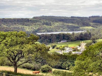
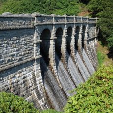
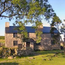
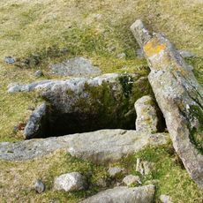
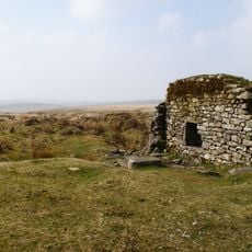
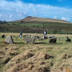
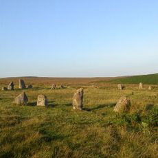
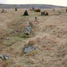
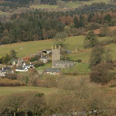
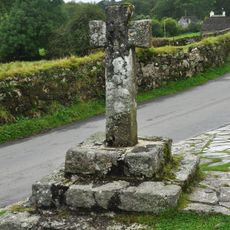
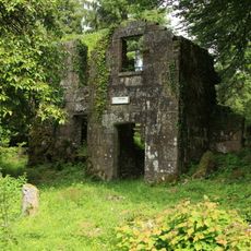
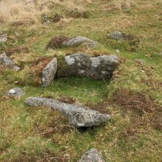
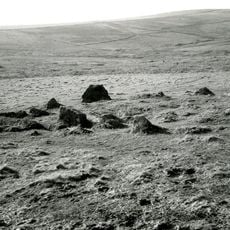
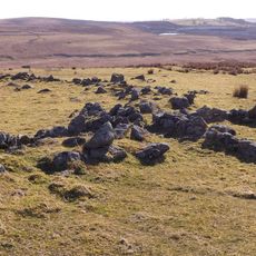
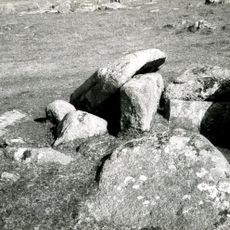
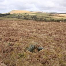
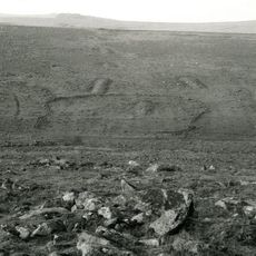
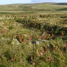
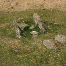
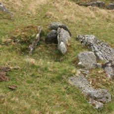
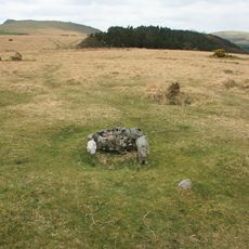
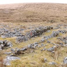
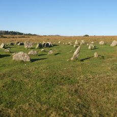
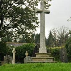
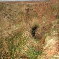
Sheepstor, plaats in Devon

De community van nieuwsgierige reizigers

AroundUs brengt duizenden geselecteerde plaatsen, lokale tips en verborgen pareltjes samen, dagelijks verrijkt door meer dan 60,000 bijdragers wereldwijd.

Begin met ontdekken
Locatie
GPS-coördinaten
50.49085,-4.03204
Laatste update
3 maart 2025 om 06:28
Rond deze plek
Burrator Reservoir
Verenigd Koninkrijk

Burrator Reservoir

1.1 km
Ditsworthy Warren House
Verenigd Koninkrijk

Ditsworthy Warren House

2.8 km
Drizzlecombe
Verenigd Koninkrijk

Drizzlecombe

3.2 km
Eylesbarrow mine
Verenigd Koninkrijk

Eylesbarrow mine

4.6 km
Yellowmead Down
Verenigd Koninkrijk

Yellowmead Down

1.5 km
Brisworthy stone circle
Verenigd Koninkrijk

Brisworthy stone circle

2.3 km
Ringmoor stone row and cairn circle
Verenigd Koninkrijk

Ringmoor stone row and cairn circle

1.8 km
Church of St Leonard, Sheepstor
Verenigd Koninkrijk

Church of St Leonard, Sheepstor

56 m
Brooke Monuments To The North Of Church Of St Leonard
Verenigd Koninkrijk

Brooke Monuments To The North Of Church Of St Leonard

53 m
Middleworth farmstead, 450m south east of Norsworthy Bridge
Verenigd Koninkrijk

Middleworth farmstead, 450m south east of Norsworthy Bridge

2 km
Prehistoric and historic archaeological landscape at Trowlesworthy Warren
Verenigd Koninkrijk

Prehistoric and historic archaeological landscape at Trowlesworthy Warren

3 km
Roman's Cross
Verenigd Koninkrijk

Roman's Cross

7 m
Longstone Manor House
Verenigd Koninkrijk

Longstone Manor House

849 m
Three round cairns 370m ENE of Down Tor
Verenigd Koninkrijk

Three round cairns 370m ENE of Down Tor

3.1 km
Cairn with a cist south-east of Shavercombe Tor
Verenigd Koninkrijk

Cairn with a cist south-east of Shavercombe Tor

4 km
Multi-period remains at Hentor Warren
Verenigd Koninkrijk

Multi-period remains at Hentor Warren

3.4 km
Partially enclosed stone hut circle settlement and post-medieval warren structures on the western slope of Little and Great Trow
Verenigd Koninkrijk

Partially enclosed stone hut circle settlement and post-medieval warren structures on the western slope of Little and Great Trow

3.6 km
Cairn with a cist east of Willings Walls Reave
Verenigd Koninkrijk

Cairn with a cist east of Willings Walls Reave

3.3 km
Cairn with cist north of Gutter Tor
Verenigd Koninkrijk

Cairn with cist north of Gutter Tor

1.8 km
Prehistoric settlement, three round cairns and a post-medieval rabbit warren at Legis Tor
Verenigd Koninkrijk

Prehistoric settlement, three round cairns and a post-medieval rabbit warren at Legis Tor

2.5 km
Agglomerated enclosure with hut circles and later farmstead at Whittenknowles Rocks
Verenigd Koninkrijk

Agglomerated enclosure with hut circles and later farmstead at Whittenknowles Rocks

2.6 km
Cairn with a cist north of Whittenknowles Rocks
Verenigd Koninkrijk

Cairn with a cist north of Whittenknowles Rocks

2.7 km
Round cairn 100m south of Down Tor
Verenigd Koninkrijk

Round cairn 100m south of Down Tor

2.6 km
Cist south east of Roughtor Plantation
Verenigd Koninkrijk

Cist south east of Roughtor Plantation

2.1 km
A prehistoric settlement with cairns and a historic tin mill, streamwork and buildings lying adjacent to the Langcombe Brook
Verenigd Koninkrijk

A prehistoric settlement with cairns and a historic tin mill, streamwork and buildings lying adjacent to the Langcombe Brook

4.6 km
Yellowmead stone circles, cairn and stone alignment
Verenigd Koninkrijk

Yellowmead stone circles, cairn and stone alignment

1.5 km
Maj J. Bayly Memorial Cross, Sheepstor
Verenigd Koninkrijk

Maj J. Bayly Memorial Cross, Sheepstor

71 m
Two Brothers Adit
Verenigd Koninkrijk

Two Brothers Adit

3.4 km
Toon de volledige kaart
« Sheepstor - plaats in Devon » wordt geleverd door Around Us (nl.aroundus.com). Afbeeldingen en teksten zijn afkomstig van het Wikimedia-project onder een Creative Commons-licentie. U mag kopieën van deze pagina kopiëren, verspreiden en wijzigen onder de voorwaarden van de licentie, zolang deze opmerking duidelijk zichtbaar is.

Ontdek verborgen schatten op elk avontuur!

Van karakteristieke kleine cafeetjes tot geheime uitzichtpunten – ontvlucht de drukte en vind plekken die echt bij jou passen. Onze app maakt het makkelijk: spraakzoekopdrachten, slimme filters, geoptimaliseerde routes en authentieke tips van reizigers wereldwijd. Download nu en beleef het avontuur op je smartphone!

Around Us App Screenshot

Een nieuwe benadering van toeristische ontdekking

Le Figaro

Alle plekken die de moeite waard zijn om te ontdekken

France Info

Een uitstapje op maat in slechts een paar klikken

20 Minutes

Around Us
Reisgids & Kaarten
Downloaden

Verstuur naar je telefoon

QR Code
1

Open de camera-app op je mobiel.

2

Richt je camera op de QR-code. Er verschijnt een melding.

3

Tik op de melding om de link te openen.