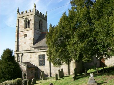
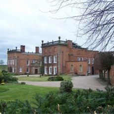
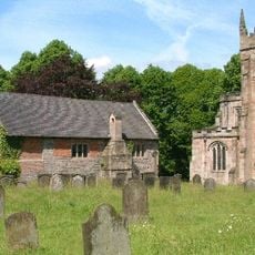
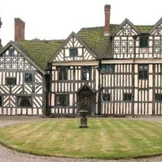
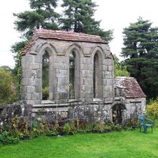
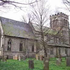
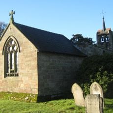
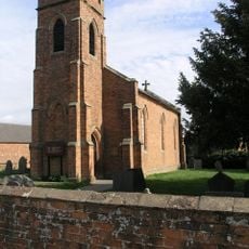
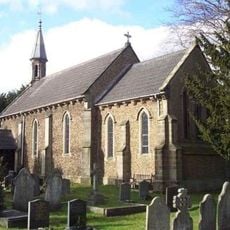
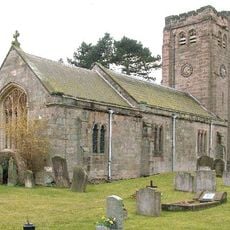
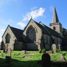
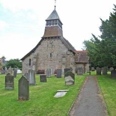
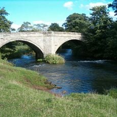
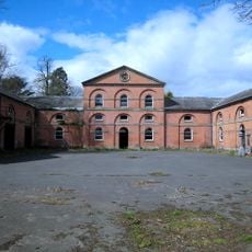
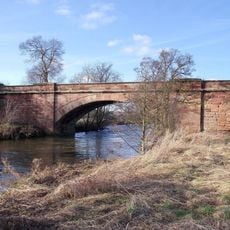
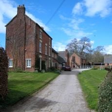
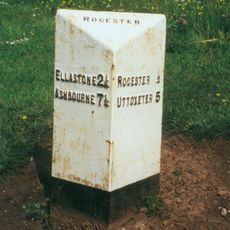
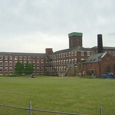
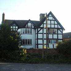
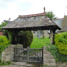
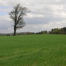
Cubley, civil parish in Derbyshire Dales district, Derbyshire, England
Locatie: Derbyshire Dales
Grenst aan: Snelston, Marston Montgomery, Sudbury, Boylestone, Hungry Bentley, Yeaveley, Norbury and Roston
GPS-coördinaten: 52.94100,-1.76300
Laatste update: 18 maart 2025 om 18:24
Longford Hall
5.5 km
Norbury Manor
5.5 km
Somersal Herbert Hall
3.8 km
Yeaveley Preceptory
2.1 km
St Mary and St Barlock's Church, Norbury
5.4 km
Church of St Andrew
693 m
St John the Baptist's Church, Boylestone
3.2 km
St Chad's Church, Longford
5.4 km
Church of St Peter
5.2 km
Church of St James
4.9 km
Medieval settlement, including site of chapel and part of the open field system, immediately north east of Alkmonton Old Hall Fa
3.4 km
Holy Trinity Church
3.3 km
Church of St John
2.7 km
Church of St Peter
3.9 km
Church of St Michael
5 km
Folly Or Deercote In Park
5.5 km
Church of St Giles
2.5 km
Ellastone Bridge
5.8 km
Stable Block And Coach House At Longford Hall Farm
5.4 km
Rocester Bridge
4.6 km
Shirley Mill Farmhouse
5.9 km
Milepost At Ngr Sk 1074 3992
5.5 km
Snelston War Memorial
5.3 km
Tutbury Mill
4.8 km
The Manor House
2.7 km
Gates And Gatepiers To East Of Longford Hall
5.6 km
Lychgate, Bus Stop And Connecting Retaining Wall To Churchyard
2.6 km
Wyaston hlaew
4.9 kmBeoordelingen
Heeft u deze plek bezocht? Tik op de sterren om een beoordeling te geven en uw ervaring of foto's te delen met de community! Probeer het nu! U kunt het op elk moment annuleren.
Ontdek verborgen schatten op elk avontuur!
Van karakteristieke kleine cafeetjes tot geheime uitzichtpunten – ontvlucht de drukte en vind plekken die echt bij jou passen. Onze app maakt het makkelijk: spraakzoekopdrachten, slimme filters, geoptimaliseerde routes en authentieke tips van reizigers wereldwijd. Download nu en beleef het avontuur op je smartphone!
Een nieuwe benadering van toeristische ontdekking❞
— Le Figaro
Alle plekken die de moeite waard zijn om te ontdekken❞
— France Info
Een uitstapje op maat in slechts een paar klikken❞
— 20 Minutes