
Blaby, dorp in Blaby, Verenigd Koninkrijk
Locatie: Blaby
Website: http://leicestershireparishcouncils.org/blabyparish
GPS-coördinaten: 52.57240,-1.16777
Laatste update: 7 maart 2025 om 09:38

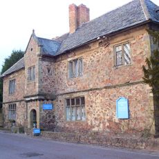
Narborough Hall
2.7 km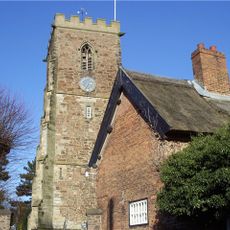
All Saints Church, Narborough
2.4 km
Church of St Thomas
2.3 km
Church of All Saints
642 m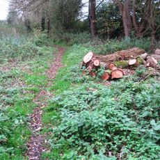
Narborough Bog
1.6 km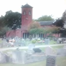
Saffron Hill Cemetery
3.3 km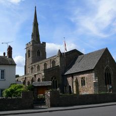
Church of St Michael and All Angels
3.1 km
Southfields Library
3.3 km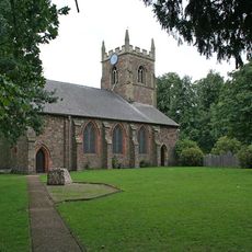
Church of St Andrew
2.9 km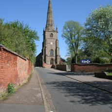
Church of St Peter
732 m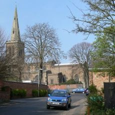
Church of All Saints
4.1 km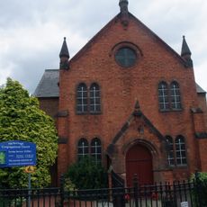
Congregational Church
2.5 km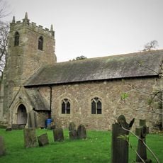
Church of St Bartholomew
4.6 km
The Bakers Arms Public House
637 m
Aylestone War Memorial
3.6 km
South Wigston War Memorial
2.3 km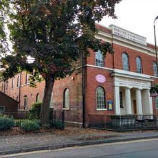
United Reformed Church and Boundary Railings
4.3 km
The Manor Restaurant
1.3 km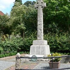
Whetstone War Memorial
769 m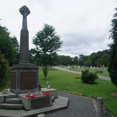
Narborough War Memorial
2.4 km
34, Long Street
4.3 km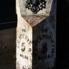
Milepost About 30 Metres South Of The Elms
181 m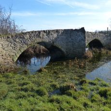
Enderby Mill Bridge
1.7 km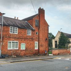
Avenue House
4.2 km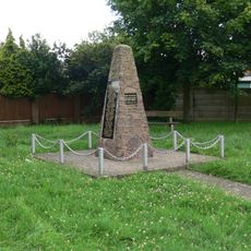
Blaby War Memorial
260 m
42 And 44, Bushloe End
4 km
Wigston Framework Knitters Museum
4 km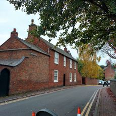
2, Newgate End
4.1 kmHeeft u deze plek bezocht? Tik op de sterren om een beoordeling te geven en uw ervaring of foto's te delen met de community! Probeer het nu! U kunt het op elk moment annuleren.
Ontdek verborgen schatten op elk avontuur!
Van karakteristieke kleine cafeetjes tot geheime uitzichtpunten – ontvlucht de drukte en vind plekken die echt bij jou passen. Onze app maakt het makkelijk: spraakzoekopdrachten, slimme filters, geoptimaliseerde routes en authentieke tips van reizigers wereldwijd. Download nu en beleef het avontuur op je smartphone!

Een nieuwe benadering van toeristische ontdekking❞
— Le Figaro
Alle plekken die de moeite waard zijn om te ontdekken❞
— France Info
Een uitstapje op maat in slechts een paar klikken❞
— 20 Minutes