
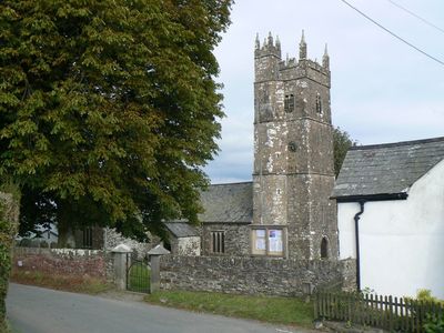
Ashwater, village in United Kingdom
Locatie: Torridge District
GPS-coördinaten: 50.76065,-4.27833
Laatste update: 11 maart 2025 om 14:00
Dunsland
7.1 km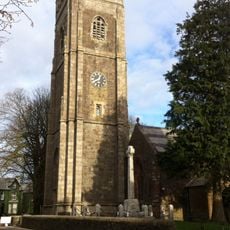
St Peter's and St Paul's Church, Holsworthy
7.6 km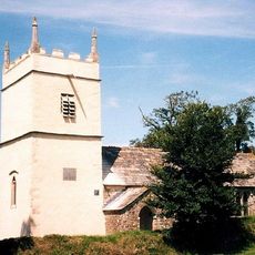
St James's Church, Luffincott
7.1 km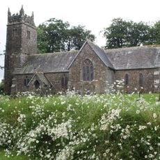
Church of St Peter and St James
3.6 km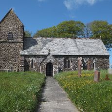
Church of St Petrock
5.2 km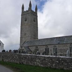
Church of St Denis, North Tamerton
8.2 km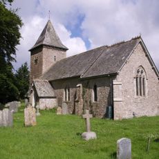
Church of St Albans
6.8 km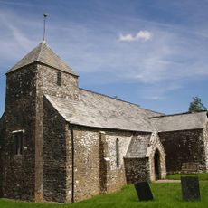
Church of St John the Baptist and the Seven Maccabees
8 km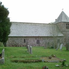
Church of St Giles
8.4 km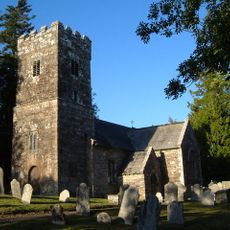
Church of St German
6 km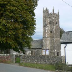
Church of St Peter
3 km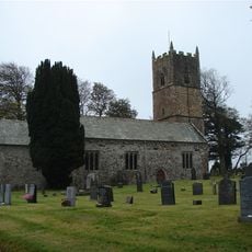
Church of St Leonard
4.7 km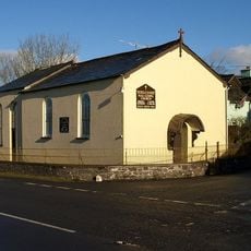
Methodist Chapel
6.4 km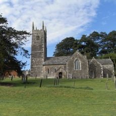
Church of the Holy Cross
6.4 km
Church of St Bridget
5.7 km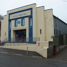
Hats Theatre
7.6 km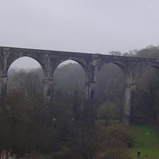
Derriton Viaduct
7.7 km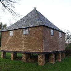
Granary About 30 Metres North West Of Tetcott Manor
6.5 km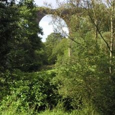
Holsworthy Viaduct
7.3 km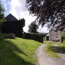
Home Farm
6.2 km
Eastacombe Farmhouse
4.2 km
Wayside cross at Halwill on a roadside 40m south east of the church
3.6 km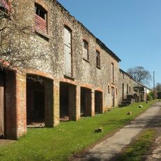
Range Of Farmbuildings About 30M South West Of Hayne Farmhouse
4.9 km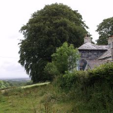
The Old Rectory
6.9 km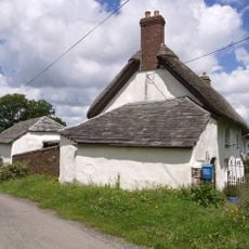
West Chilla Farmhouse
6.3 km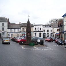
Market Cross
7.6 km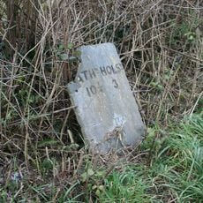
Milestone, 250m E of Stapledon Farm
5.8 km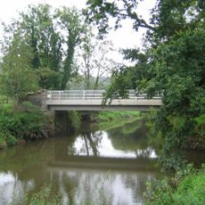
Boyton Bridge
8.8 kmHeeft u deze plek bezocht? Tik op de sterren om een beoordeling te geven en uw ervaring of foto's te delen met de community! Probeer het nu! U kunt het op elk moment annuleren.
Ontdek verborgen schatten op elk avontuur!
Van karakteristieke kleine cafeetjes tot geheime uitzichtpunten – ontvlucht de drukte en vind plekken die echt bij jou passen. Onze app maakt het makkelijk: spraakzoekopdrachten, slimme filters, geoptimaliseerde routes en authentieke tips van reizigers wereldwijd. Download nu en beleef het avontuur op je smartphone!

Een nieuwe benadering van toeristische ontdekking❞
— Le Figaro
Alle plekken die de moeite waard zijn om te ontdekken❞
— France Info
Een uitstapje op maat in slechts een paar klikken❞
— 20 Minutes