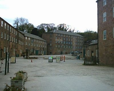
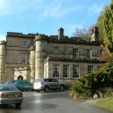
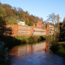
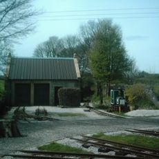
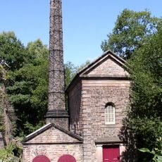
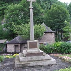
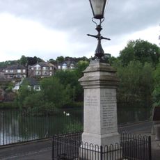
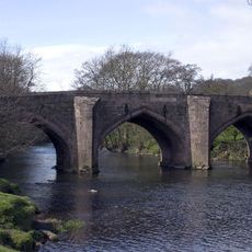
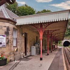
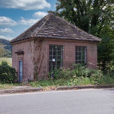
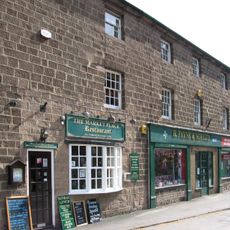
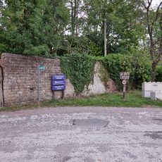
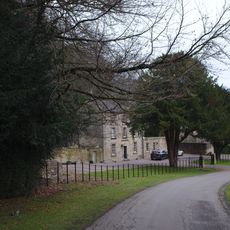
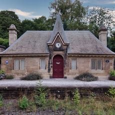
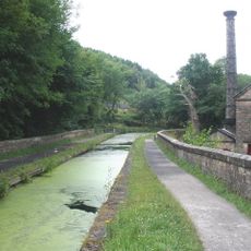
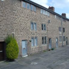
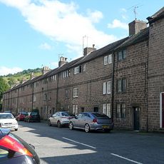
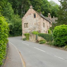
Cromford, dorp in Derbyshire Dales, Verenigd Koninkrijk
Locatie: Derbyshire Dales
Grenst aan: 
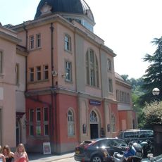
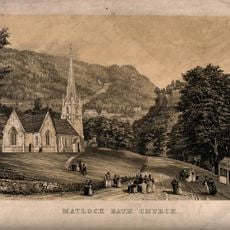
Matlock Bath, Bonsall, Middleton, Wirksworth, Dethick, Lea and Holloway, Matlock Town
GPS-coördinaten: 53.10800,-1.56100
Laatste update: 7 maart 2025 om 04:47
Cromford Mill
352 m
Gulliver's Kingdom Resort
1.2 km
Willersley Castle
388 m
Masson Mill
536 m
Steeple Grange Light Railway
1.5 km
Leawood Pump House
2.3 km
Grand Pavilion, Matlock Bath
1.3 km
St Mary's Church, Cromford
550 m
Church of Holy Trinity
1 km
Cromford War Memorial
154 m
Scarthin War Memorial
124 m
The Steeple Grange Light Railway
1.5 km
Greyhound Hotel
80 m
Wigwell Aqueduct
2.4 km
Cromford Bridge
625 m
Cromford Station (Main Builidng On West Platform)
958 m
Fishing Pavilion
621 m
Footbridge At Cromford Station
965 m
20-26, Market Place
110 m
North East Boundary Walls At Cromford Wharf
531 m
Home Farmhouse
634 m
North West Boundary Walls At Cromford Wharf
585 m
Cromford Station (Building On East Platform)
974 m
Cromford Canal engine house, engine and aqueduct
2.4 km
The Arkwright Houses And Unnumbered House To Left Of Number 1
102 m
The Arkwright Houses
119 m
Bridge House
711 m
Milestone, Oakerthorpe Road; Bolehill
1.8 kmHeeft u deze plek bezocht? Tik op de sterren om een beoordeling te geven en uw ervaring of foto's te delen met de community! Probeer het nu! U kunt het op elk moment annuleren.
Ontdek verborgen schatten op elk avontuur!
Van karakteristieke kleine cafeetjes tot geheime uitzichtpunten – ontvlucht de drukte en vind plekken die echt bij jou passen. Onze app maakt het makkelijk: spraakzoekopdrachten, slimme filters, geoptimaliseerde routes en authentieke tips van reizigers wereldwijd. Download nu en beleef het avontuur op je smartphone!
Een nieuwe benadering van toeristische ontdekking❞
— Le Figaro
Alle plekken die de moeite waard zijn om te ontdekken❞
— France Info
Een uitstapje op maat in slechts een paar klikken❞
— 20 Minutes