
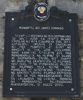
Barracks of Santo Domingo historical marker
Barracks of Santo Domingo historical marker, NHCP historical marker for the Barracks of Santo Domingo
Locatie: Santa Rosa
Ontstaan: 2005
Maker: National Historical Commission of the Philippines
Adres: Santa Rosa–Tagaytay Road, Brgy. Santo Domingo
GPS-coördinaten: 14.23078,121.05001
Laatste update: 25 maart 2025 om 04:16
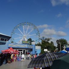
Enchanted Kingdom
7.5 km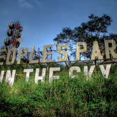
People's Park in the Sky
10.4 km
Mount Sungay
10.3 km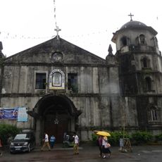
Silang Church
8.2 km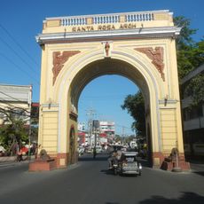
Santa Rosa Arch
11.5 km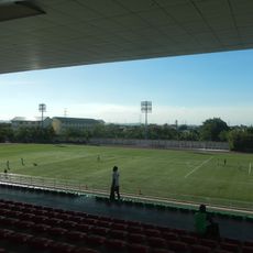
Biñan Football Stadium
9.8 km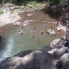
Matang Tubig
4.2 km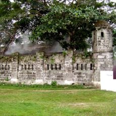
Cuartel de Santo Domingo
18 m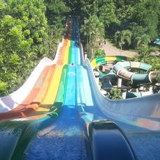
Splash Island
10.6 km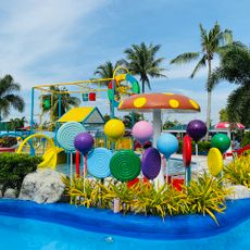
Coco Valley Richnez Waterpark
11.8 km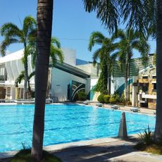
Southpick Resort
12.5 km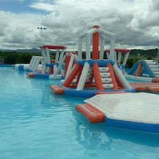
Redwood Water Park
6.8 km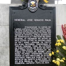
General Jose Ignacio Paua historical marker
8.2 km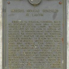
General Nicolas Gonzales y Lantin historical marker
10.2 km
JMJ Family Resort
11.3 km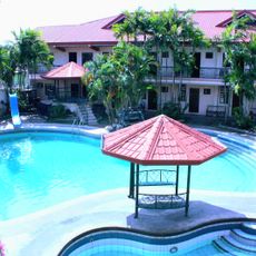
Doña Juana Garden Resort
9.2 km
Banio kreek
10 km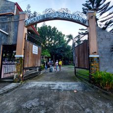
Terrazas de Teodora Pavilion and Resort
9.9 km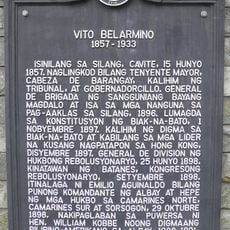
Vito Belarmino historical marker
8.4 km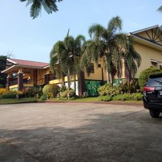
Villa Morales Resort
11.2 km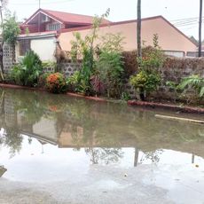
Dictado Resort 1
12.1 km
Biñan Cultural Center
12.6 km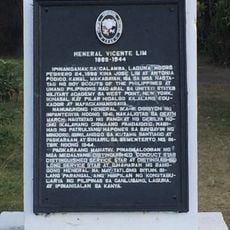
General Vicente Lim historical marker
12.6 km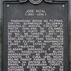
Jose Rizal historical marker
12.5 km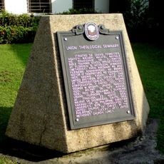
Union Theological Seminary historical marker
11.8 km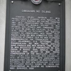
Church of Silang historical marker
8.2 km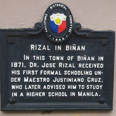
Rizal in Biñan historical marker
12.3 km
Sidro's Place
9.5 kmHeeft u deze plek bezocht? Tik op de sterren om een beoordeling te geven en uw ervaring of foto's te delen met de community! Probeer het nu! U kunt het op elk moment annuleren.
Ontdek verborgen schatten op elk avontuur!
Van karakteristieke kleine cafeetjes tot geheime uitzichtpunten – ontvlucht de drukte en vind plekken die echt bij jou passen. Onze app maakt het makkelijk: spraakzoekopdrachten, slimme filters, geoptimaliseerde routes en authentieke tips van reizigers wereldwijd. Download nu en beleef het avontuur op je smartphone!

Een nieuwe benadering van toeristische ontdekking❞
— Le Figaro
Alle plekken die de moeite waard zijn om te ontdekken❞
— France Info
Een uitstapje op maat in slechts een paar klikken❞
— 20 Minutes