
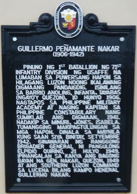
Guillermo Peñamante Nakar historical marker
Guillermo Peñamante Nakar historical marker, NHCP historical marker for Guillermo Nakar
Locatie: General Nakar
Ontstaan: 10 juni 2012
Maker: National Historical Commission of the Philippines
Adres: Sitio Bungko, Brgy. Anoling
GPS-coördinaten: 14.75686,121.62100
Laatste update: 17 april 2025 om 05:05
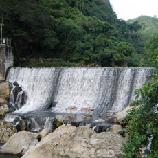
Wawa Dam
46.3 km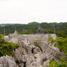
Masungi Georeserve
34.8 km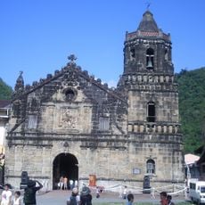
Paete Church
46.2 km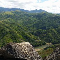
Pamitinan Protected Landscape
46.7 km
Pamitinan Cave
46.5 km
Upper Marikina River Basin Protected Landscape
44.8 km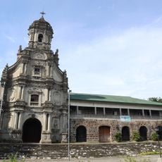
Morong Church
46.1 km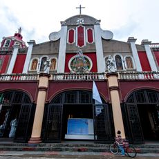
Siniloan Church
41.8 km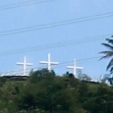
Three Crosses of Paete
45.8 km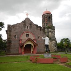
Mabitac Church
42.3 km
Lokal ng Padilla
49.2 km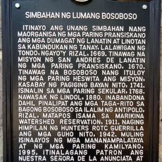
Church of Old Bosoboso historical marker
43.2 km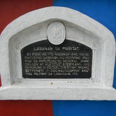
Battle of Mabitac historical marker
42.1 km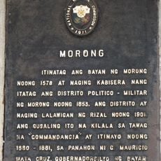
Morong historical marker
49.3 km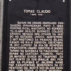
Tomas Claudio historical marker
49.4 km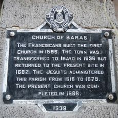
Church of Baras historical marker
46.1 km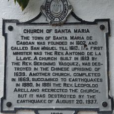
Church of Santa Maria historical marker
38.3 km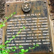
Pililla Church historical marker
45.8 km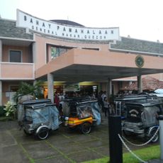
General Nakar Municipal Hall
26 m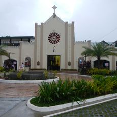
Infanta Cathedral
3.3 km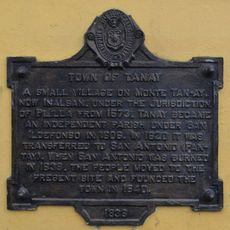
Town of Tanay historical marker
46.3 km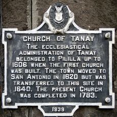
Church of Tanay historical marker
46.2 km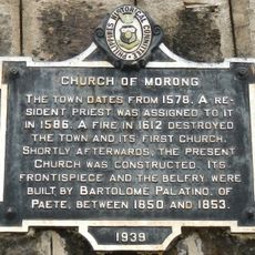
Church of Morong historical marker
49.3 km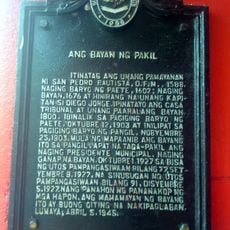
The Town of Pakil historical marker
44.6 km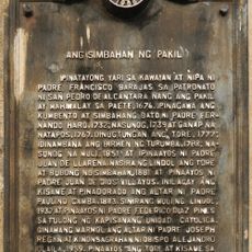
The Church of Pakil historical marker
44.6 km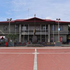
Commandancia
49.3 km
Pakil Municipal Hall
44.6 km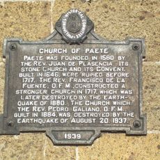
Church of Paete historical marker
46.2 kmHeeft u deze plek bezocht? Tik op de sterren om een beoordeling te geven en uw ervaring of foto's te delen met de community! Probeer het nu! U kunt het op elk moment annuleren.
Ontdek verborgen schatten op elk avontuur!
Van karakteristieke kleine cafeetjes tot geheime uitzichtpunten – ontvlucht de drukte en vind plekken die echt bij jou passen. Onze app maakt het makkelijk: spraakzoekopdrachten, slimme filters, geoptimaliseerde routes en authentieke tips van reizigers wereldwijd. Download nu en beleef het avontuur op je smartphone!

Een nieuwe benadering van toeristische ontdekking❞
— Le Figaro
Alle plekken die de moeite waard zijn om te ontdekken❞
— France Info
Een uitstapje op maat in slechts een paar klikken❞
— 20 Minutes