
Bonbon, barangay in Aloguinsan, Filipijnen
Locatie: Aloguinsan
Hoogte boven de zeespiegel: 43 m
GPS-coördinaten: 10.22444,123.55722
Laatste update: 12 oktober 2025 om 11:46
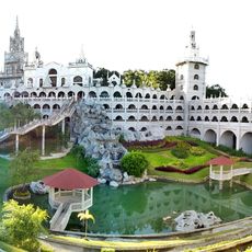
Simala Shrine
27.7 km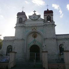
Archdiocesan Shrine of Saint Catherine of Alexandria
16 km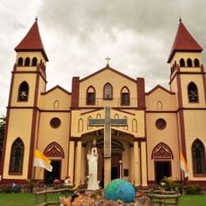
San Carlos Cathedral
32.4 km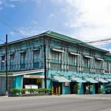
Mercado Mansion
16.2 km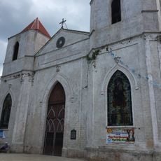
Our Lady of the Pillar Parish Church
24.1 km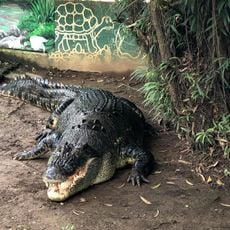
Crocolandia Foundation
30.4 km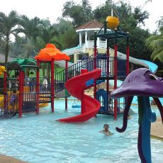
Tubod Flowing Waters Resort
26.8 km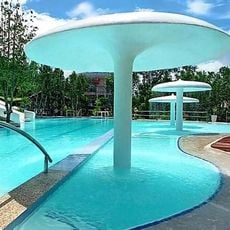
Hale Manna Coastal Gardens
33 km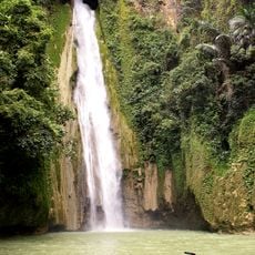
Mantayupan Falls
13.7 km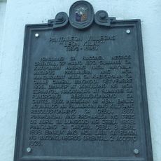
Pantaleon Villegas “Leon Kilat” historical marker
16.2 km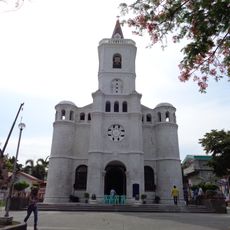
Pardo Church
33.1 km
Adventure Cafe
33.1 km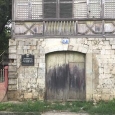
Ang Dakong Balay historical marker
16.3 km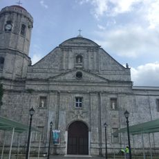
Dumanjug Church
22.9 km
JVR Island in the Sky Resort
33.2 km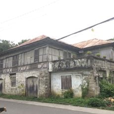
Don Florencio Noel House
16.3 km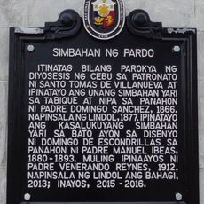
Church of Pardo historical marker
33.2 km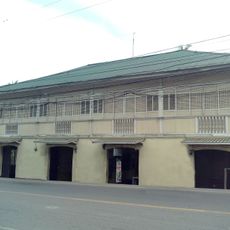
Silva House
16.2 km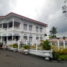
Carcar City Museum
16.1 km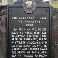
The Bloody Palm Sunday historical marker
37.2 km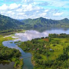
Malubog Lake
23.7 km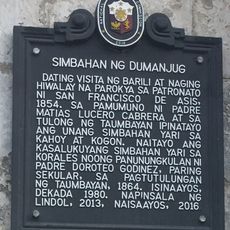
Church of Dumanjug historical marker
22.9 km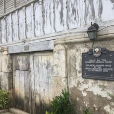
Balay na Tisa historical marker
16.5 km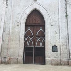
Church of Sibonga historical marker
24.1 km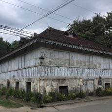
Sarmiento–Osmeña House
16.5 km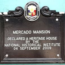
Mercado Mansion historical marker
16.2 km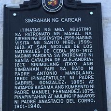
Church of Carcar historical marker
16 km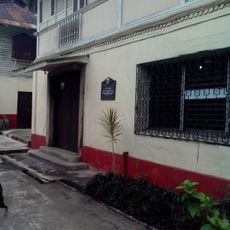
Silva House historical marker
16.2 kmHeeft u deze plek bezocht? Tik op de sterren om een beoordeling te geven en uw ervaring of foto's te delen met de community! Probeer het nu! U kunt het op elk moment annuleren.
Ontdek verborgen schatten op elk avontuur!
Van karakteristieke kleine cafeetjes tot geheime uitzichtpunten – ontvlucht de drukte en vind plekken die echt bij jou passen. Onze app maakt het makkelijk: spraakzoekopdrachten, slimme filters, geoptimaliseerde routes en authentieke tips van reizigers wereldwijd. Download nu en beleef het avontuur op je smartphone!

Een nieuwe benadering van toeristische ontdekking❞
— Le Figaro
Alle plekken die de moeite waard zijn om te ontdekken❞
— France Info
Een uitstapje op maat in slechts een paar klikken❞
— 20 Minutes