
Sostegno, Gemeente in Italië
Locatie: Province of Biella
Hoofdstad: Sostegno
Hoogte boven de zeespiegel: 378 m
Grenst aan: Crevacuore, Curino, Lozzolo, Roasio, Serravalle Sesia, Villa del Bosco
Website: http://comune.sostegno.bi.it
GPS-coördinaten: 45.65285,8.26970
Laatste update: 13 maart 2025 om 08:23
Sant'Agata Church
5.7 km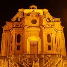
Santa Maria Assunta
6.4 km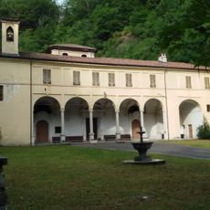
Madonna della Fontana Sanctuary
2.9 km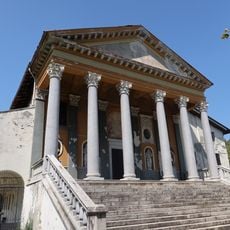
Santuario di Sant'Euseo
4.9 km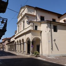
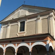
San Giovanni Battista Church
5 km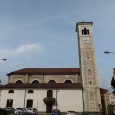
Chiesa di Santa Croce
6.3 km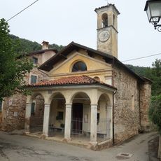
San Grato
6.3 km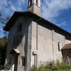
Chiesa di San Giulio
6.6 km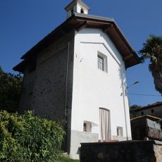
Chiesa di San Giuseppe
7.2 km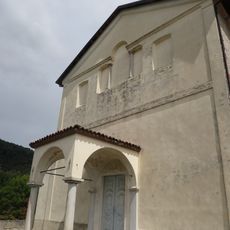
Sant'Agata
6 km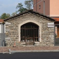
Oratorio di San Rocco
6.2 km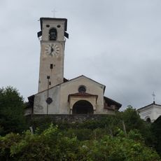
San Graziano
6.3 km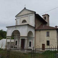
Church of Saint Gaudentius (Borgosesia)
6.7 km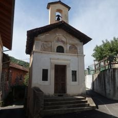
Churche of Mary Help of Christians (Guardella)
4.8 km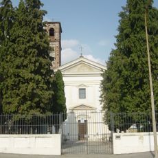
Santa Maria in Bovagliano
6.3 km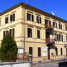
Town hall of Crevacuore
4.1 km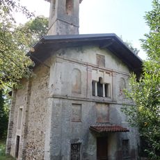
Chiesa della Santissima Annunziata
6.1 km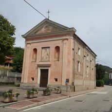
San Rocco
7.2 km
Cappella di Sant'Antonio
7.5 km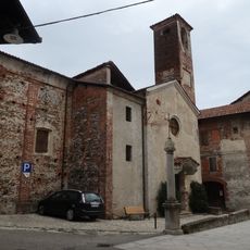
Chiesa di Santa Maria delle Grazie
6.5 km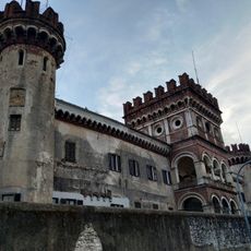
Castello degli Avondo
5 km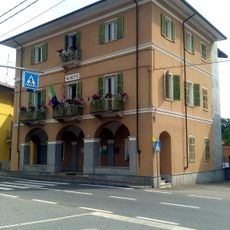
Town hall of Roasio
5.1 km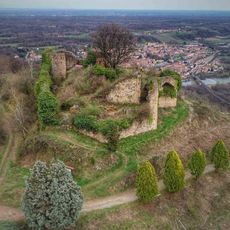
Castello di San Lorenzo
7.6 km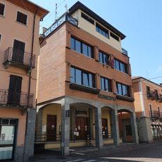
Town hall of Serravalle Sesia
4.9 km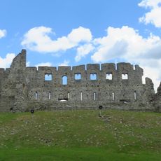
Castle of Vintebbio
5.1 km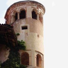
Castello di Lozzolo
5 km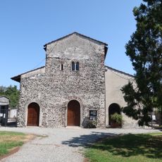
Santa Maria di Naula
4.8 km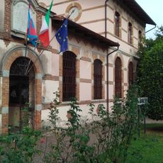
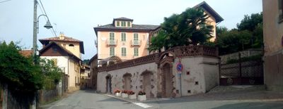
Town hall of Sostegno
100 mHeeft u deze plek bezocht? Tik op de sterren om een beoordeling te geven en uw ervaring of foto's te delen met de community! Probeer het nu! U kunt het op elk moment annuleren.
Ontdek verborgen schatten op elk avontuur!
Van karakteristieke kleine cafeetjes tot geheime uitzichtpunten – ontvlucht de drukte en vind plekken die echt bij jou passen. Onze app maakt het makkelijk: spraakzoekopdrachten, slimme filters, geoptimaliseerde routes en authentieke tips van reizigers wereldwijd. Download nu en beleef het avontuur op je smartphone!

Een nieuwe benadering van toeristische ontdekking❞
— Le Figaro
Alle plekken die de moeite waard zijn om te ontdekken❞
— France Info
Een uitstapje op maat in slechts een paar klikken❞
— 20 Minutes