
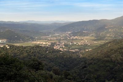
Djemaa Beni Habibi, municipality of Algeria
Locatie: El Ancer District
Hoogte boven de zeespiegel: 900 m
Grenst aan: Sidi Abdelaziz
GPS-coördinaten: 36.80750,6.12350
Laatste update: 21 juni 2025 om 21:06
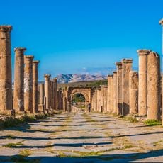
Djémila
64.3 km
Cirta
65.6 km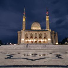
Emir Abdelkader Mosque
66.8 km
Taza National Park
51.7 km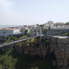
Pont Sidi M'Cid
65.3 km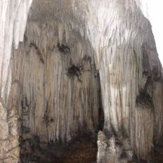
La Grotte Merveilleuse
55.7 km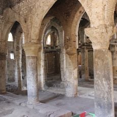
Sidi Ghanem Mosque
41.9 km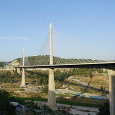
Salah Bey Viaduct
66.6 km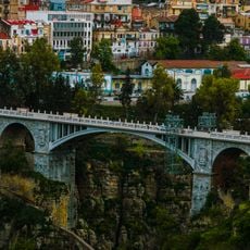
Pont El Kantara
65.9 km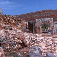
Tiddis
50 km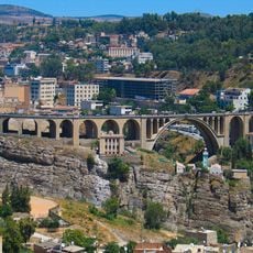
Sidi Rached Viaduct
66.1 km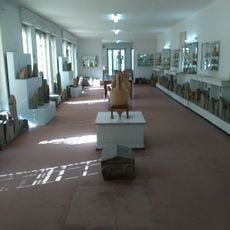
Cirta National Museum
65.9 km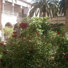
Ahmed Bey Palace
65.6 km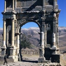
Arch of Caracalla
64.3 km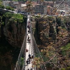
Pont Mellah Slimane
65.9 km
Mileum
41.7 km
Rouibah Hocine Stadium
31.8 km
Constantine Gondola lift
65.6 km
Great Mosque of Constantine
65.8 km
El Bey Mosque
65.6 km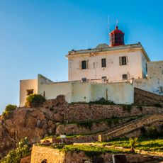
Ras Afia lighthouse
38.7 km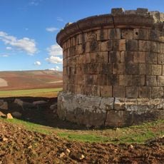
Quintus Lollius Urbicus Mausoleum
47.8 km
Sidi Lakhdar Mosque
65.7 km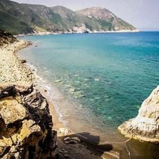
Cap Bougaroun Lighthouse
43.7 km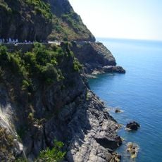
Corniche Jijelienne
31.9 km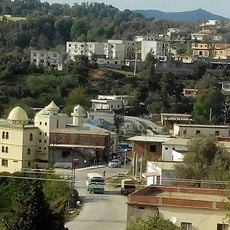
Hadjar Mefrouche
28.9 km
Mini-parc d’attraction Oumnia
31.9 km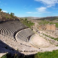
Roman theatre of Cuicul
64.2 kmBeoordelingen
Heeft u deze plek bezocht? Tik op de sterren om een beoordeling te geven en uw ervaring of foto's te delen met de community! Probeer het nu! U kunt het op elk moment annuleren.
Ontdek verborgen schatten op elk avontuur!
Van karakteristieke kleine cafeetjes tot geheime uitzichtpunten – ontvlucht de drukte en vind plekken die echt bij jou passen. Onze app maakt het makkelijk: spraakzoekopdrachten, slimme filters, geoptimaliseerde routes en authentieke tips van reizigers wereldwijd. Download nu en beleef het avontuur op je smartphone!

Een nieuwe benadering van toeristische ontdekking❞
— Le Figaro
Alle plekken die de moeite waard zijn om te ontdekken❞
— France Info
Een uitstapje op maat in slechts een paar klikken❞
— 20 Minutes