
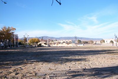
Timgad, municipality of Algeria
Locatie: Timgad District
Grenst aan: Chemora
GPS-coördinaten: 35.49580,6.46724
Laatste update: 3 maart 2025 om 09:32
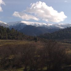
Djebel Chélia
25 km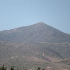
Belezma National Park
40.5 km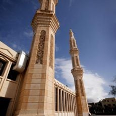
Grote Moskee van 1 november 1954
27.8 km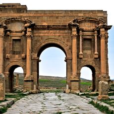
Arch of Trajan
1.2 km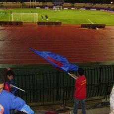
Stade of 1st November 1954
26.2 km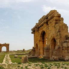
Diana Veteranorum
47.5 km
Musée du moudjahid de Batna
24.6 km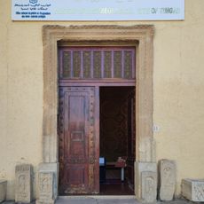
Museum of Archaeological site of Timgad
1.2 km
Lompi Family Park
27.6 km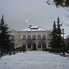
Théâtre Régional de Batna
27.2 km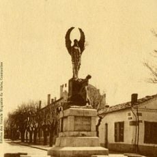
Monument to the dead of Batna
26.5 km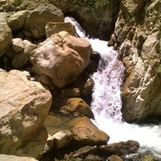
Cascades de Berbaga
28.4 km
Institut régional de formation musicale de Batna
27.7 km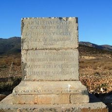
Monument of the camp of De Buttafoco
27.4 km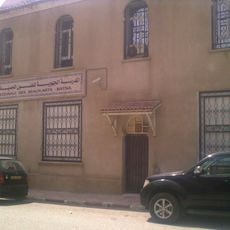
École régionale des beaux-arts de Batna
27 km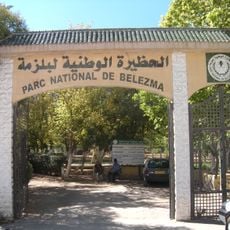
Jardin de la Verdure
27.6 km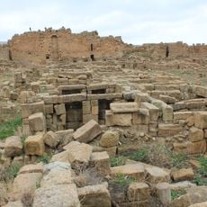
Byzantine Fort in Timgad
1.8 km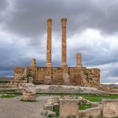
Capitol of Timgad
1.4 km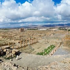
Roman Theatre of Timgad
1.3 km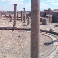
Eastern Market of Timgad
1.2 km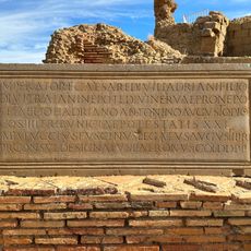
EDCS-27300292
1.3 km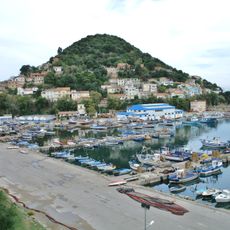
Northeast Algeria
29.6 km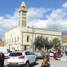
El-Atik mosque of the martyr Tahar Messaouden
27 km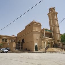
Uthman ibn Affan mosque of Batna
25.1 km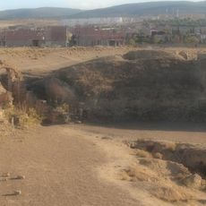
Lambaesis amphitheatre
18.8 km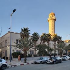
Abdelhamid Ben Badis Mosque (Batna)
27.4 km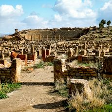
Timgad
1.2 km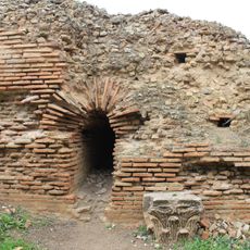
Grand north baths of Timgad
932 mBeoordelingen
Heeft u deze plek bezocht? Tik op de sterren om een beoordeling te geven en uw ervaring of foto's te delen met de community! Probeer het nu! U kunt het op elk moment annuleren.
Ontdek verborgen schatten op elk avontuur!
Van karakteristieke kleine cafeetjes tot geheime uitzichtpunten – ontvlucht de drukte en vind plekken die echt bij jou passen. Onze app maakt het makkelijk: spraakzoekopdrachten, slimme filters, geoptimaliseerde routes en authentieke tips van reizigers wereldwijd. Download nu en beleef het avontuur op je smartphone!

Een nieuwe benadering van toeristische ontdekking❞
— Le Figaro
Alle plekken die de moeite waard zijn om te ontdekken❞
— France Info
Een uitstapje op maat in slechts een paar klikken❞
— 20 Minutes