
King Leopold Ranges
King Leopold Ranges, bounded rural locality in Western Australia
Locatie: Western Australia
Locatie: Shire of Derby-West Kimberley
GPS-coördinaten: -17.16364,125.44898
Laatste update: 26 oktober 2025 om 13:56
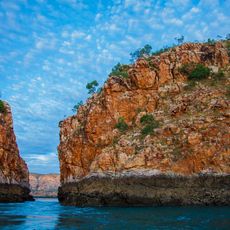
Horizontal Falls
181.2 km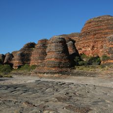
Bungle Bungle Range
322.5 km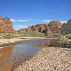
Nationaal park Purnululu
330.7 km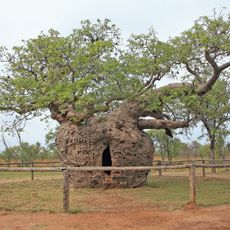
Boab Prison Tree
190.2 km
Eighty Mile Beach
581 km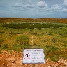
Nationaal park Wolfe Creek Crater
334.1 km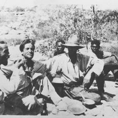
1932 Kimberley rescue
401.9 km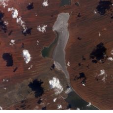
Nationaal park Karlamilyi
626.7 km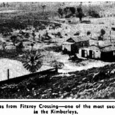
Gogo Station
126.4 km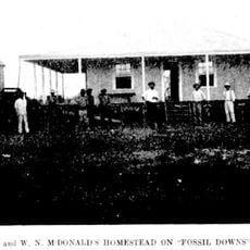
Fossil Downs Station
114 km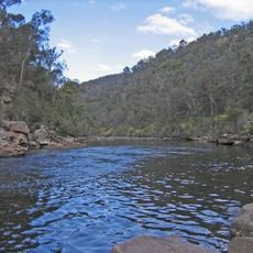
Mitchell River National Park
260.5 km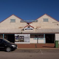
Sun Picture Gardens
351.4 km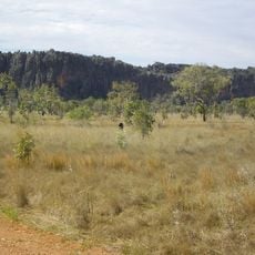
Windjana Gorge
58.9 km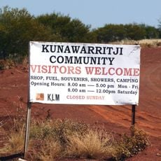
Kunawaritji Community, Western Australia
579.9 km
Curtin Immigration Reception and Processing Centre
179.8 km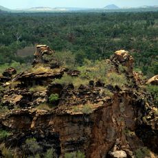
Keep River National Park
419.8 km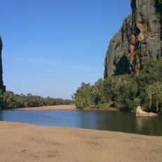
Windjana Gorge National Park
56.9 km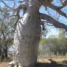
Judbarra / Gregory National Park
531.5 km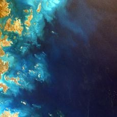
Prince Regent National Park
187.6 km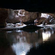
Tunnel Creek National Park
59.4 km
Drysdale River National Park
276.5 km
Walcott Inlet
126.9 km
Geikie Gorge National Park
105.3 km
Geikie Gorge
105.3 km
Cable Beach
355.2 km
Ashmore Reef Marine Park
603.9 km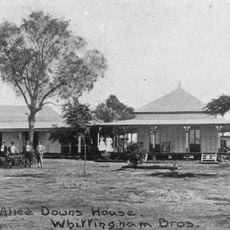
Alice Downs
272.5 km
Mirima National Park
386.2 kmBeoordelingen
Heeft u deze plek bezocht? Tik op de sterren om een beoordeling te geven en uw ervaring of foto's te delen met de community! Probeer het nu! U kunt het op elk moment annuleren.
Ontdek verborgen schatten op elk avontuur!
Van karakteristieke kleine cafeetjes tot geheime uitzichtpunten – ontvlucht de drukte en vind plekken die echt bij jou passen. Onze app maakt het makkelijk: spraakzoekopdrachten, slimme filters, geoptimaliseerde routes en authentieke tips van reizigers wereldwijd. Download nu en beleef het avontuur op je smartphone!

Een nieuwe benadering van toeristische ontdekking❞
— Le Figaro
Alle plekken die de moeite waard zijn om te ontdekken❞
— France Info
Een uitstapje op maat in slechts een paar klikken❞
— 20 Minutes