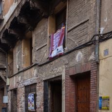
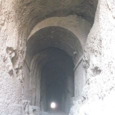
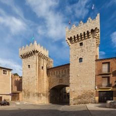
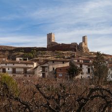
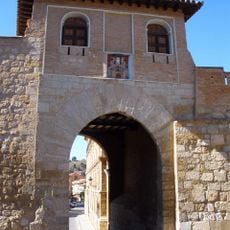
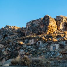
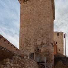
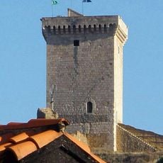
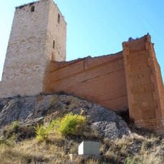
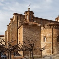
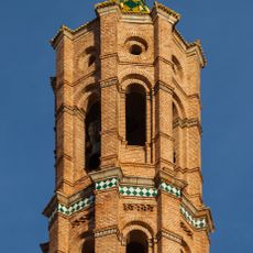
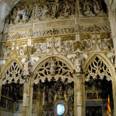
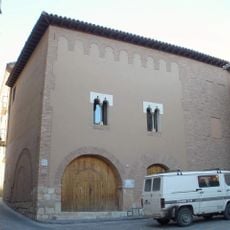
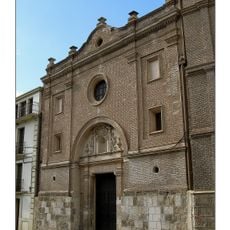
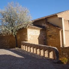
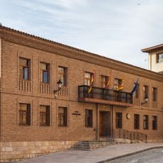
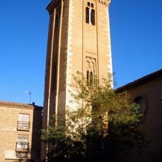
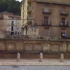
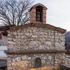
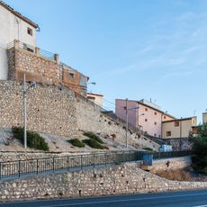
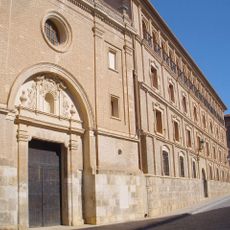
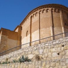
Murero, gemeente in Spanje
Locatie: Zaragoza Province
Hoofdstad: Murero
Hoogte boven de zeespiegel: 707 m
Grenst aan: Miedes de Aragón, Langa del Castillo, Manchones, Atea, Villafeliche
Website: http://murero.es
GPS-coördinaten: 41.15806,-1.48222
Laatste update: 31 maart 2025 om 00:04
Murero paleontological sites
1.2 km
Daroca city walls
7.4 km
La Morica Encantada
7.5 km
Collegiate church of Santa María
7.5 km
Palacio de los Luna
7.6 km
La Mina
7.9 km
Puerta Baja
7.4 km
Castle of Villafeliche
4.7 km
Puerta Alta
7.8 km
Castle of Fuentes de jiloca
9.2 km
Torre de la Carretería, Daroca
7.8 km
Torre de la Espuela
7.9 km
Torre de las Cinco Esquinas
7.8 km
Castle of Retascon
8.4 km
Church of San Miguel, Daroca
7.3 km
Church of Santo Domingo de Silos
7.4 km
Church of the Assumption
9.1 km
Chapel of the Sacred Corporals
7.5 km
Hospital de Peregrinos
7.4 km
Church of Piarits in Daroca
7.7 km
Church of San Juan de la Cuesta, Daroca
7.4 km
Town hall of Daroca
7.5 km
Bell tower of the church of Santo Domingo de Silos, Daroca
7.4 km
Fuente de los Veinte Caños
7.4 km
Wayside cross of the Virgin of Carmen
4.6 km
Wall of Montón
6.2 km
Piarist school, Daroca
7.7 km
Ábside de San Juan de la Cuesta
7.4 kmBeoordelingen
Heeft u deze plek bezocht? Tik op de sterren om een beoordeling te geven en uw ervaring of foto's te delen met de community! Probeer het nu! U kunt het op elk moment annuleren.
Ontdek verborgen schatten op elk avontuur!
Van karakteristieke kleine cafeetjes tot geheime uitzichtpunten – ontvlucht de drukte en vind plekken die echt bij jou passen. Onze app maakt het makkelijk: spraakzoekopdrachten, slimme filters, geoptimaliseerde routes en authentieke tips van reizigers wereldwijd. Download nu en beleef het avontuur op je smartphone!
Een nieuwe benadering van toeristische ontdekking❞
— Le Figaro
Alle plekken die de moeite waard zijn om te ontdekken❞
— France Info
Een uitstapje op maat in slechts een paar klikken❞
— 20 Minutes