
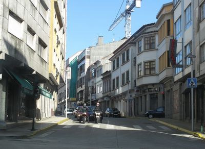
Ordes, gemeente in A Coruña
Locatie: A Coruña Province
Hoogte boven de zeespiegel: 292 m
Onderdeel van: Mancomunidade de Municipios da Comarca de Ordes
Grenst aan: Oroso, Tordoia, Cerceda, Carral, Mesía, Abegondo, Frades
Website: http://ordes.gal
GPS-coördinaten: 43.07667,-8.40722
Laatste update: 4 maart 2025 om 07:35

Dolmen de Cabaleiros
11.9 km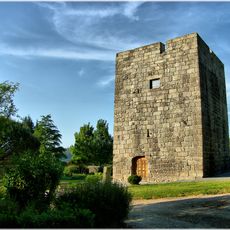
Tower of Celas de Peiro
19.2 km
Castle of Mesía
14.1 km
Pazo de Mariñas
12.6 km
Castro de Cerneda
18 km
Castro Maior
12.5 km
Castro das Travesas
10.6 km
Castro de Montouto
16.3 km
Pazo de Fontelo
11.8 km
Monastery of Soandres
18.2 km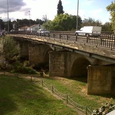
Sigüeiro Bridge
12.7 km
Castro de Vizoño
11.4 km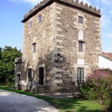
Tower of Figueiroa
17.5 km
Casa consistorial de Carral
17.4 km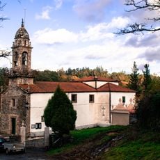
Church of Santa María de Gonzar, O Pino
16 km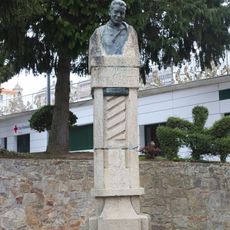
Monument to Vicente Carnota
120 m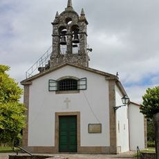
Church of Saint Christine
14.9 km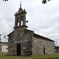
Church of Saint Vicent, Marantes
14.1 km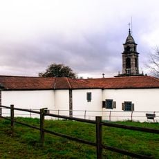
Church of San Xiao de Lardeiros
13.1 km
Biblioteca Pública Municipal de Carral
17.3 km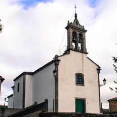
Church of San Vicenzo do Pino
16.6 km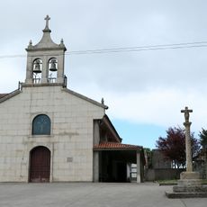
Chapel of Santo André do Mesón do Vento
8.5 km
Biblioteca Pública Municipal de Abegondo
19.3 km
Biblioteca Pública Municipal de Ordes
74 m
Biblioteca Pública Municipal de Oroso
12.3 km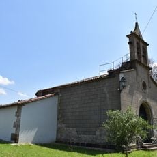
Chapel of Our Lady of Sorrows, Agualada
16.3 km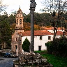
Wayside cross in Gonzar
16 km
Casa consistorial de Órdenes
40 mHeeft u deze plek bezocht? Tik op de sterren om een beoordeling te geven en uw ervaring of foto's te delen met de community! Probeer het nu! U kunt het op elk moment annuleren.
Ontdek verborgen schatten op elk avontuur!
Van karakteristieke kleine cafeetjes tot geheime uitzichtpunten – ontvlucht de drukte en vind plekken die echt bij jou passen. Onze app maakt het makkelijk: spraakzoekopdrachten, slimme filters, geoptimaliseerde routes en authentieke tips van reizigers wereldwijd. Download nu en beleef het avontuur op je smartphone!

Een nieuwe benadering van toeristische ontdekking❞
— Le Figaro
Alle plekken die de moeite waard zijn om te ontdekken❞
— France Info
Een uitstapje op maat in slechts een paar klikken❞
— 20 Minutes