
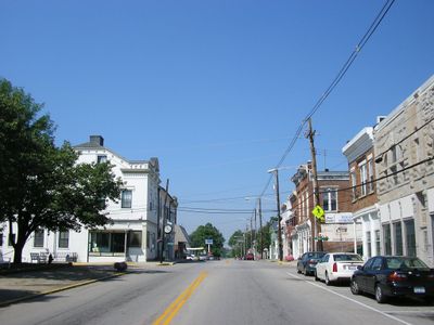
Owingsville, plaats in Kentucky
Locatie: Bath County
Hoogte boven de zeespiegel: 306 m
GPS-coördinaten: 38.14278,-83.76611
Laatste update: 7 maart 2025 om 07:29
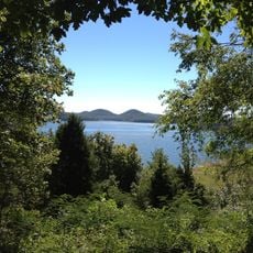
Cave Run Lake
25 km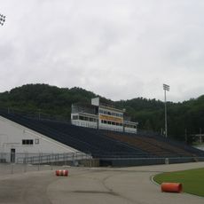
Jayne Stadium
30.3 km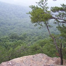
Pilot Knob State Nature Preserve
29.8 km
Kentucky Folk Art Center
29.4 km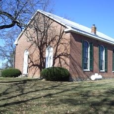
Goshen Primitive Baptist Church
30.1 km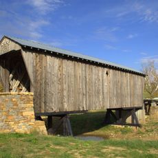
Goddard Covered Bridge
27.7 km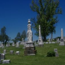
Confederate Monument of Mt. Sterling
17.4 km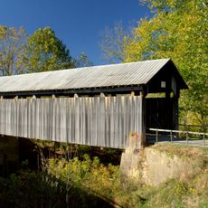
Ringos Mill Covered Bridge
19.5 km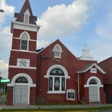
KEAS Tabernacle Christian Methodist Episcopal Church
17.9 km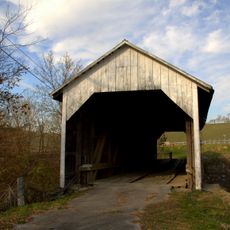
Hillsboro Covered Bridge
15.9 km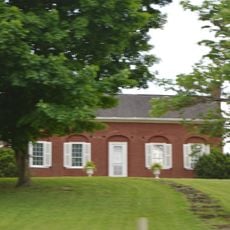
Enoch Smith House
19.8 km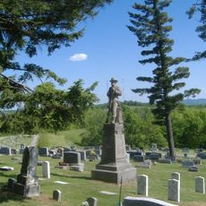
Confederate Monument in Owingsville
587 m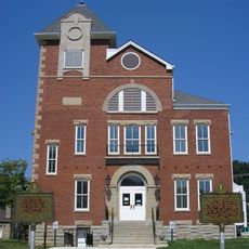
Rowan County Courthouse
29.5 km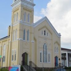
Methodist Episcopal Church South
17.9 km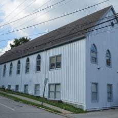
Church of the Ascension
18.2 km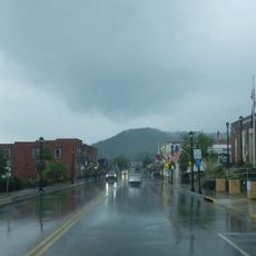
Downtown Morehead Historic District
29.2 km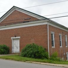
Elizaville Presbyterian Church
31.2 km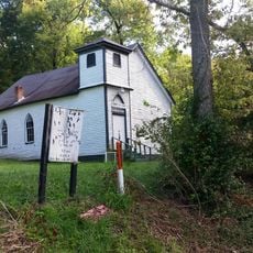
Corinth Christian Methodist Episcopal Church
30.2 km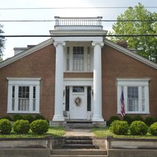
Raccoon John Smith House
268 m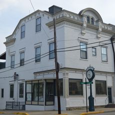
Thomas Deye Owings House
209 m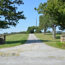
Snow Hill
26.3 km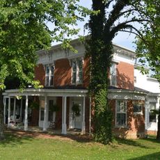
J.J. Nesbitt House
213 m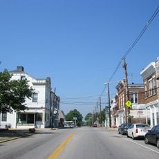
Owingsville Commercial District and Courthouse Square
330 m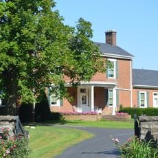
William Mathers House
30.7 km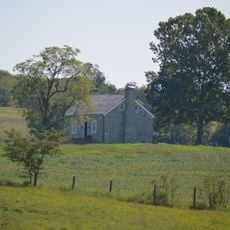
Erasmus Riggs House
28.6 km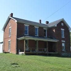
Thomas A. Dorsey Farmhouse
29.2 km
Brushy Voting House No. 6
25.4 km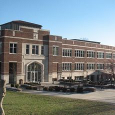
Morehead State University
29.5 kmHeeft u deze plek bezocht? Tik op de sterren om een beoordeling te geven en uw ervaring of foto's te delen met de community! Probeer het nu! U kunt het op elk moment annuleren.
Ontdek verborgen schatten op elk avontuur!
Van karakteristieke kleine cafeetjes tot geheime uitzichtpunten – ontvlucht de drukte en vind plekken die echt bij jou passen. Onze app maakt het makkelijk: spraakzoekopdrachten, slimme filters, geoptimaliseerde routes en authentieke tips van reizigers wereldwijd. Download nu en beleef het avontuur op je smartphone!

Een nieuwe benadering van toeristische ontdekking❞
— Le Figaro
Alle plekken die de moeite waard zijn om te ontdekken❞
— France Info
Een uitstapje op maat in slechts een paar klikken❞
— 20 Minutes