Franklinville, North Carolina
Locatie: Randolph County
Hoogte boven de zeespiegel: 146 m
Website: http://townoffranklinvillenc.org
GPS-coördinaten: 35.74440,-79.69170
Laatste update: 23 april 2025 om 07:47

North Carolina Zoological Park
14.4 km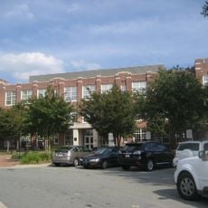
James B. Dudley High School
35.7 km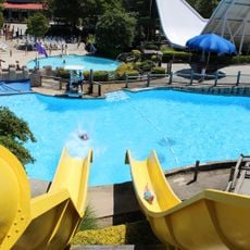
Wet 'n Wild Emerald Pointe
32.2 km
Alamance Battleground
33.5 km
Pisgah Covered Bridge
29 km
North Carolina Aviation Museum
21.1 km
Hagan Stone Park
23.6 km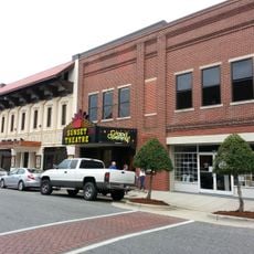
Sunset Theater
12.1 km
Cedarock Park
36 km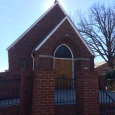
St. Mary Catholic Church
36.4 km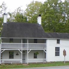
Richard Mendenhall Plantation Buildings
36.1 km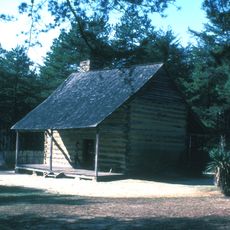
Allen House
33.3 km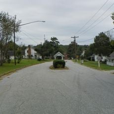
Oakdale Cotton Mill Village
34 km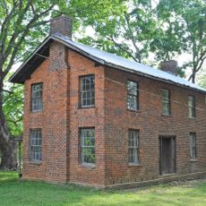
Wilson Kindley Farm and Kindley Mine
25.2 km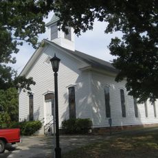
Tabernacle Methodist Protestant Church and Cemetery
24.6 km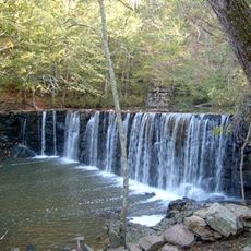
Cedarock Park Historic District
35 km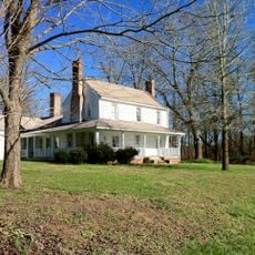
Marley House
12.7 km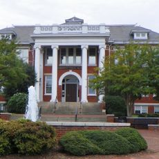
Former Jamestown High School
35.6 km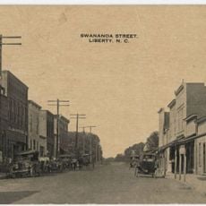
Liberty Historic District
16.5 km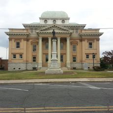
Randolph County Courthouse
11.8 km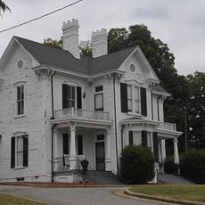
Moses Hammond House
31.8 km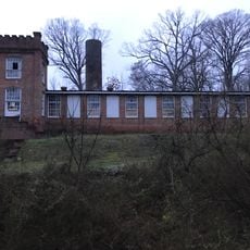
Coleridge Historic District
13.5 km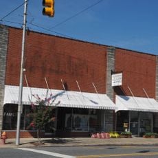
Siler City Commercial Historic District
20.7 km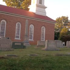
St. Paul's Methodist Episcopal Church South
13.7 km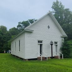
Mount Ebal Methodist Protestant Church
36.5 km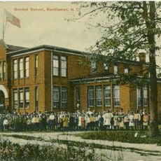
Randleman Graded School
13.2 km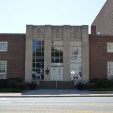
Guilford County Office and Court Building
36.7 km
Franklinville Historic District
25.2 kmHeeft u deze plek bezocht? Tik op de sterren om een beoordeling te geven en uw ervaring of foto's te delen met de community! Probeer het nu! U kunt het op elk moment annuleren.
Ontdek verborgen schatten op elk avontuur!
Van karakteristieke kleine cafeetjes tot geheime uitzichtpunten – ontvlucht de drukte en vind plekken die echt bij jou passen. Onze app maakt het makkelijk: spraakzoekopdrachten, slimme filters, geoptimaliseerde routes en authentieke tips van reizigers wereldwijd. Download nu en beleef het avontuur op je smartphone!

Een nieuwe benadering van toeristische ontdekking❞
— Le Figaro
Alle plekken die de moeite waard zijn om te ontdekken❞
— France Info
Een uitstapje op maat in slechts een paar klikken❞
— 20 Minutes