
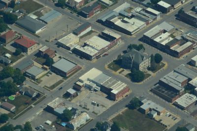
Carrollton, Missouri
Locatie: Carroll County
Hoogte boven de zeespiegel: 230 m
Website: http://carrolltonareachamber.org
GPS-coördinaten: 39.35890,-93.49560
Laatste update: 18 april 2025 om 00:07
Battle of Lexington State Historic Site
37.7 km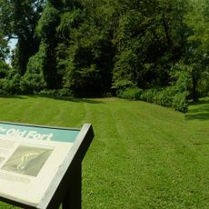
Van Meter State Park
22.2 km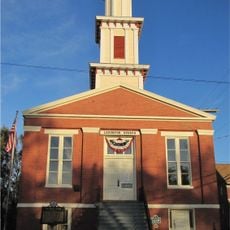
Cumberland Presbyterian Church
38.3 km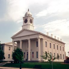
Lafayette County Courthouse
38.4 km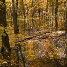
Swan Lake National Wildlife Refuge
38.5 km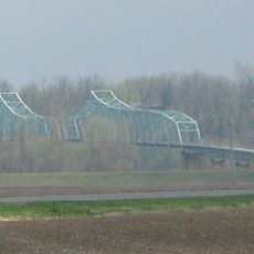
Miami Bridge
23.5 km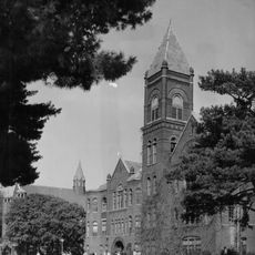
Baity Hall
38.4 km
Fitzgibbon Hospital
38 km
Waddell House
38 km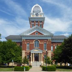
Saline County Courthouse
37 km
Highland Avenue Historic District
38 km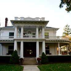
Buckner House
37.2 km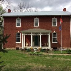
Theodore Gosewisch House
40.8 km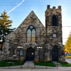
First Presbyterian Church
37.1 km
Old Fort
22.2 km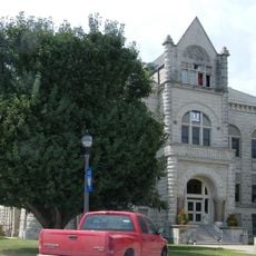
Carroll County Court House
116 m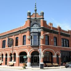
Farmers Bank Building
16.8 km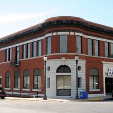
Wilcoxson and Company Bank
126 m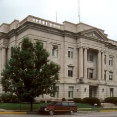
Ray County Courthouse
42.4 km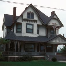
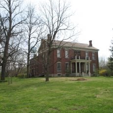
Watkins House
42.6 km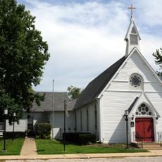
Grace Episcopal Church
48.3 km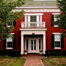
Old Neighborhoods Historic District
37.9 km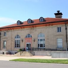
United States Post Office
442 m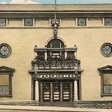
Dougherty Auditorium
42.6 km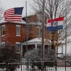
Ray County Poor Farm
43.6 km
Russell Sunflower Patch
38.9 km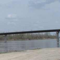
Waverly Bridge
16 km
Concordia Family Aquatic Center
42.2 kmBeoordelingen
Heeft u deze plek bezocht? Tik op de sterren om een beoordeling te geven en uw ervaring of foto's te delen met de community! Probeer het nu! U kunt het op elk moment annuleren.
Ontdek verborgen schatten op elk avontuur!
Van karakteristieke kleine cafeetjes tot geheime uitzichtpunten – ontvlucht de drukte en vind plekken die echt bij jou passen. Onze app maakt het makkelijk: spraakzoekopdrachten, slimme filters, geoptimaliseerde routes en authentieke tips van reizigers wereldwijd. Download nu en beleef het avontuur op je smartphone!

Een nieuwe benadering van toeristische ontdekking❞
— Le Figaro
Alle plekken die de moeite waard zijn om te ontdekken❞
— France Info
Een uitstapje op maat in slechts een paar klikken❞
— 20 Minutes