
Waters Upton, dorp in Telford and Wrekin, Verenigd Koninkrijk
Locatie: Telford and Wrekin
GPS-coördinaten: 52.77330,-2.54972
Laatste update: 6 maart 2025 om 21:07
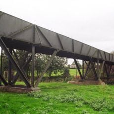
Longdon-on-Tern-aquaduct
4.2 km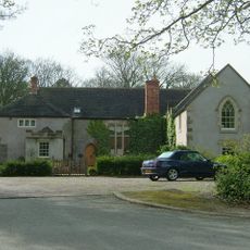
Apley Castle
6.9 km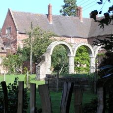
High Ercall Hall
4.2 km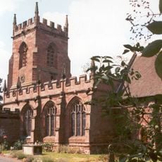
St Peter's Church, Edgmond
9 km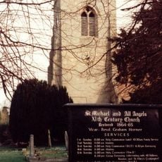
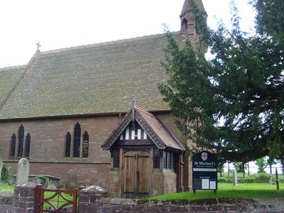
St Michael's Church, High Ercall
4.2 km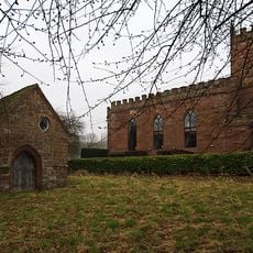
Talbot Chapel
9.6 km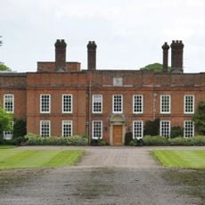
Peplow Hall
5.1 km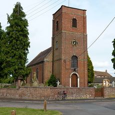
Church of St Lawrence
6.6 km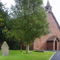
All Hallows, Rowton
1.5 km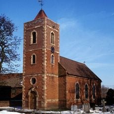
Church of St. Catherine
5.3 km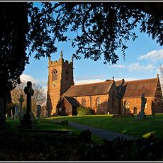
Church of St Michael
6.5 km
Church of St Mary
9.6 km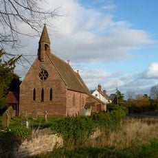
Church of St Michael
451 m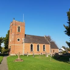
Church of St. John the Baptist
2.4 km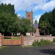
Church of All Saints
5.2 km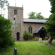
Church of St Chad
5.2 km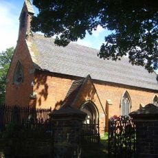
Church of St Bartholomew
4.3 km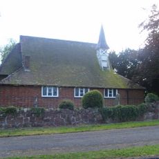
St Mary
1.6 km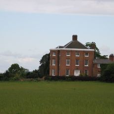
High Hatton Hall
5.7 km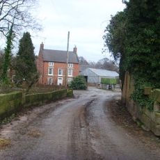
New Caynton Mill House
7.2 km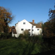
Ercall Mill Mill House
5.6 km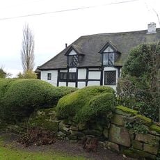
Longacre
3.9 km
Moated site, ridge and furrow cultivation remains and a building platform immediately north of Lower Grounds
5.2 km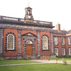
Preston Hospital Including Screen And Gates In Front
6.5 km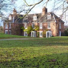
The Hall
398 m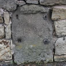
Milestone, Whitchurch Road, nr jcn Apley Avenue
7.6 km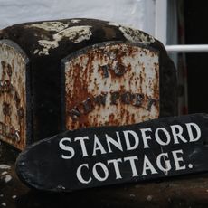
Milestone, Stanford Bridge
8.5 km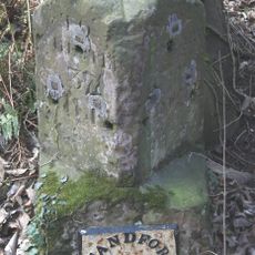
Milestone, Chetwynd Heath
9 kmHeeft u deze plek bezocht? Tik op de sterren om een beoordeling te geven en uw ervaring of foto's te delen met de community! Probeer het nu! U kunt het op elk moment annuleren.
Ontdek verborgen schatten op elk avontuur!
Van karakteristieke kleine cafeetjes tot geheime uitzichtpunten – ontvlucht de drukte en vind plekken die echt bij jou passen. Onze app maakt het makkelijk: spraakzoekopdrachten, slimme filters, geoptimaliseerde routes en authentieke tips van reizigers wereldwijd. Download nu en beleef het avontuur op je smartphone!

Een nieuwe benadering van toeristische ontdekking❞
— Le Figaro
Alle plekken die de moeite waard zijn om te ontdekken❞
— France Info
Een uitstapje op maat in slechts een paar klikken❞
— 20 Minutes