
Sebree, plaats in Kentucky
Locatie: Webster County
Ontstaan: 1868
Hoogte boven de zeespiegel: 118 m
GPS-coördinaten: 37.60810,-87.52940
Laatste update: 23 maart 2025 om 17:02

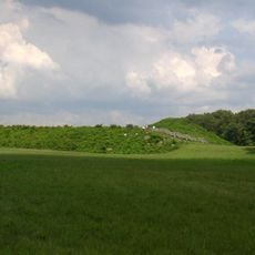
Angel Mounds
37.7 km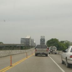
Bi-State Vietnam Gold Star Bridges
33 km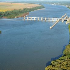
Newburgh Lock and Dam
38.3 km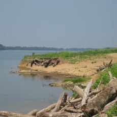
Yankeetown Site
38 km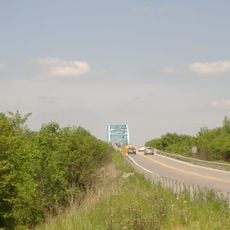
Livermore Bridge
37.5 km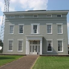
Willard Carpenter House
26.3 km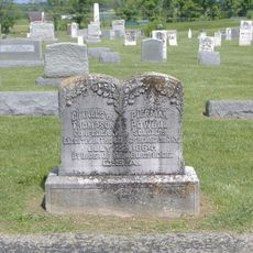
Thompson and Powell Martyrs Monument
20.5 km
Confederate Monument of Morganfield
35.1 km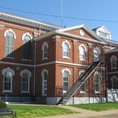
Union County Courthouse
35.2 km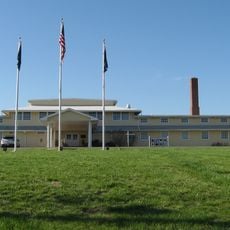
Camp Breckinridge Non-Commissioned Officers' Club
32.6 km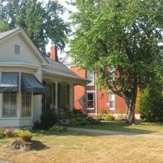
South Main and South Elm Streets Historic District
25.8 km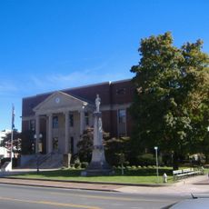
Madisonville Commercial Historic District
31.3 km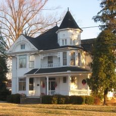
McMullin-Warren House
550 m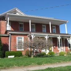
Daniel H. Hughes House
35.3 km
Zion Brick Missionary Church
12.9 km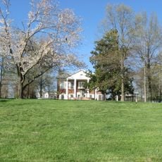
George N. Proctor House
30 km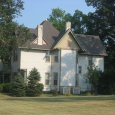
J. Hawkins Hart House
25.8 km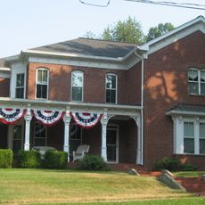
Barret House
25.9 km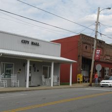
Hanson Historic District
21.7 km
Beckley Jackson House
18.2 km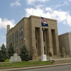
Webster County Courthouse
17.5 km
Geibel House
26.7 km
Providence Commercial Historic District
31.2 km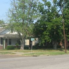
Alves Historic District
25.7 km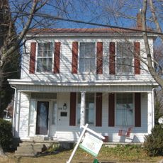
Griffith-Franklin House
25 km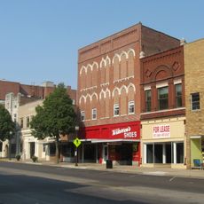
Henderson Commercial District
26.4 km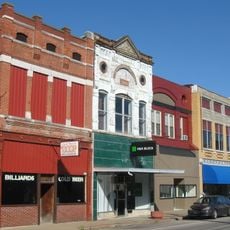
Morganfield Commercial District
35.2 km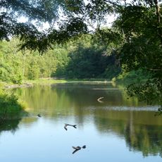
John James Audubon State Park
30.6 kmBeoordelingen
Heeft u deze plek bezocht? Tik op de sterren om een beoordeling te geven en uw ervaring of foto's te delen met de community! Probeer het nu! U kunt het op elk moment annuleren.
Ontdek verborgen schatten op elk avontuur!
Van karakteristieke kleine cafeetjes tot geheime uitzichtpunten – ontvlucht de drukte en vind plekken die echt bij jou passen. Onze app maakt het makkelijk: spraakzoekopdrachten, slimme filters, geoptimaliseerde routes en authentieke tips van reizigers wereldwijd. Download nu en beleef het avontuur op je smartphone!

Een nieuwe benadering van toeristische ontdekking❞
— Le Figaro
Alle plekken die de moeite waard zijn om te ontdekken❞
— France Info
Een uitstapje op maat in slechts een paar klikken❞
— 20 Minutes