
Kingston, stad in Missouri (VS)
Locatie: Caldwell County
Hoogte boven de zeespiegel: 271 m
GPS-coördinaten: 39.64310,-94.03830
Laatste update: 10 maart 2025 om 09:21

Adam-ondi-Ahman
38.3 km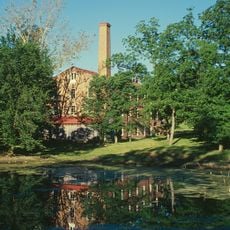
Watkins Woolen Mill State Park and State Historic Site
33 km
Battle of Lexington State Historic Site
52.1 km
Wallace State Park
15.1 km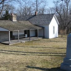
James Brothers' House and Farm
36.9 km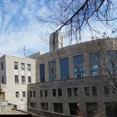
Hall of Waters
37.1 km
David L. and Sallie Ann Stoutimore House
36.6 km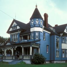
A. Taylor Ray House
30.7 km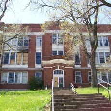
Wyman School
37 km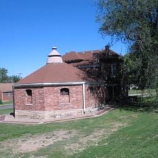
Daviess County Rotary Jail and Sheriff's Residence
31 km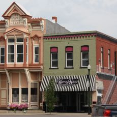
Courthouse Square Historic District
44.9 km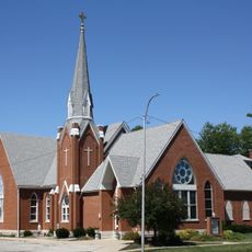
St. Munchin Catholic Church
20.6 km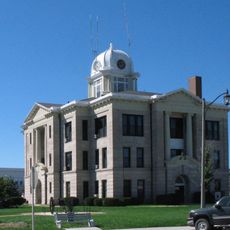
Daviess County Courthouse
31 km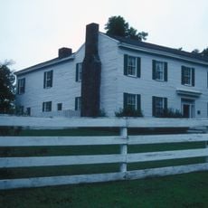
Claybrook House
38.2 km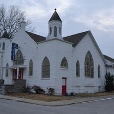
First Methodist Church
36.9 km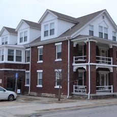
Ligon Apartments
36.8 km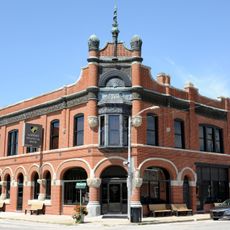
Farmers Bank Building
49 km
Excelsior Springs Hall of Waters Commercial East Historic District
36.8 km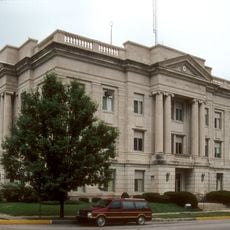
Ray County Courthouse
40.9 km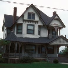
Watkins House
41.1 km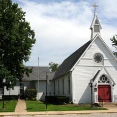
Grace Episcopal Church
45.8 km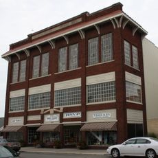
Chillicothe Commercial Historic District
44.8 km
Excelsior Springs Hall of Waters Commercial West Historic District
37.6 km
Missouri City Savings Bank Building and Meeting Hall
50.1 km
DeKalb County Courthouse
38.9 km
Dougherty Auditorium
40.9 km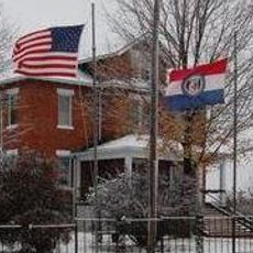
Ray County Poor Farm
41.4 km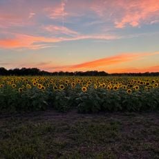
Russell Sunflower Patch
26.8 kmBeoordelingen
Heeft u deze plek bezocht? Tik op de sterren om een beoordeling te geven en uw ervaring of foto's te delen met de community! Probeer het nu! U kunt het op elk moment annuleren.
Ontdek verborgen schatten op elk avontuur!
Van karakteristieke kleine cafeetjes tot geheime uitzichtpunten – ontvlucht de drukte en vind plekken die echt bij jou passen. Onze app maakt het makkelijk: spraakzoekopdrachten, slimme filters, geoptimaliseerde routes en authentieke tips van reizigers wereldwijd. Download nu en beleef het avontuur op je smartphone!

Een nieuwe benadering van toeristische ontdekking❞
— Le Figaro
Alle plekken die de moeite waard zijn om te ontdekken❞
— France Info
Een uitstapje op maat in slechts een paar klikken❞
— 20 Minutes