
Huntington Township, township of Indiana
Locatie: Huntington County
Hoogte boven de zeespiegel: 217 m
GPS-coördinaten: 40.87278,-85.51278
Laatste update: 25 maart 2025 om 07:17
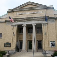
United States Vice Presidential Museum
2 km
Salamonie River State Forest
17 km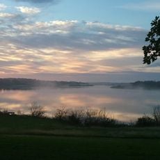
J. Edward Roush Lake
4.8 km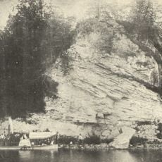
Hanging Rock and Wabash Reef National Natural Landmark
17 km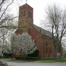
St. Patrick's Roman Catholic Church
18.7 km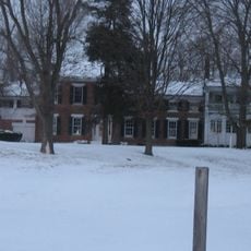
Vermilyea Inn Historic District
22.6 km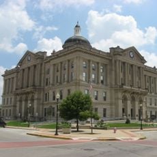
Huntington Courthouse Square Historic District
1.8 km
North Manchester Covered Bridge
25.3 km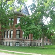
William Street School
1.6 km
Taylor-Zent House
1.8 km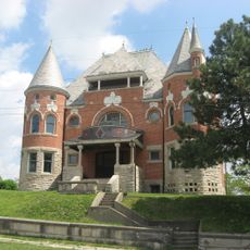
David Alonzo and Elizabeth Purviance House
1.9 km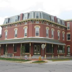
Lentz House
25.8 km
Hominy Ridge Shelter House
16 km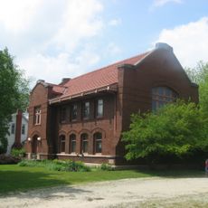
Old North Manchester Public Library
26 km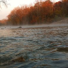
J.E. Roush Fish and Wildlife Area
14.3 km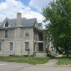
East Wabash Historic District
27 km
Drover Town Historic District
1.7 km
St. Peter's First Community Church
1.7 km
Manchester College Historic District
26 km
Old Plat Historic District
2.1 km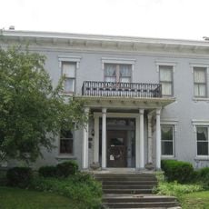
Samuel Purviance House
1.8 km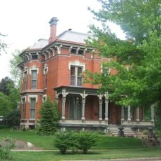
Noftzger-Adams House
25.9 km
Rangeline Road Bridge
2.6 km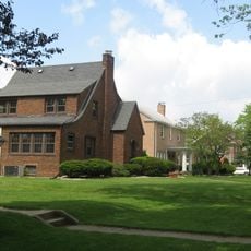
Hawley Heights Historic District
2 km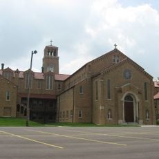
Victory Noll-St. Felix Friary Historic District
1.6 km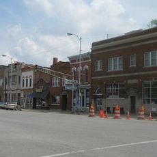
North Manchester Historic District
25.9 km
Young-Yentes-Mattern Farm
9.6 km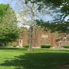
Thomas R. Marshall School
25.7 kmBeoordelingen
Heeft u deze plek bezocht? Tik op de sterren om een beoordeling te geven en uw ervaring of foto's te delen met de community! Probeer het nu! U kunt het op elk moment annuleren.
Ontdek verborgen schatten op elk avontuur!
Van karakteristieke kleine cafeetjes tot geheime uitzichtpunten – ontvlucht de drukte en vind plekken die echt bij jou passen. Onze app maakt het makkelijk: spraakzoekopdrachten, slimme filters, geoptimaliseerde routes en authentieke tips van reizigers wereldwijd. Download nu en beleef het avontuur op je smartphone!

Een nieuwe benadering van toeristische ontdekking❞
— Le Figaro
Alle plekken die de moeite waard zijn om te ontdekken❞
— France Info
Een uitstapje op maat in slechts een paar klikken❞
— 20 Minutes