
Rangeworthy, a village located in South Gloucestershire, United Kingdom
Locatie: South Gloucestershire
GPS-coördinaten: 51.57885,-2.44951
Laatste update: 3 maart 2025 om 08:30
Acton Court
2.9 km
Slickstones Quarry, Cromhall
5.1 km
Parish Church of the Holy Trinity
4 km
Parish Church of St Andrew
3.8 km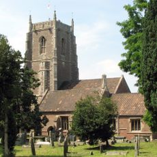
Church of St James the Less
3.4 km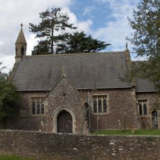
Church of the Holy Trinity
591 m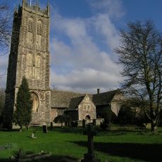
Parish Church of St Mary the Virgin
4.6 km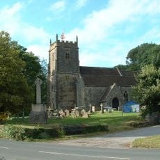
Church of St James
2.6 km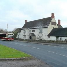
Swan Inn
2.6 km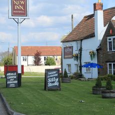
New Inn
4.8 km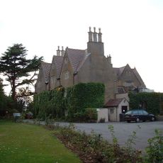
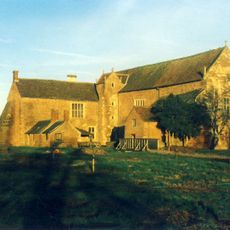
Rangeworthy Court
551 m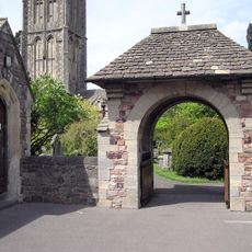
War Memorial Lych Gate
4.7 km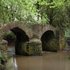
Sturt Bridge At National Grid Reference St 7313 8812
4.4 km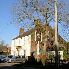
Rose And Crown
547 m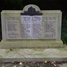
War Memorial and Grave Marker, Church of St Mary's Churchyard
4.6 km
Tytherington War Memorial
2.6 km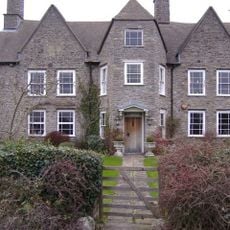
Frith Farmhouse,and Bakehouse At South East
2.9 km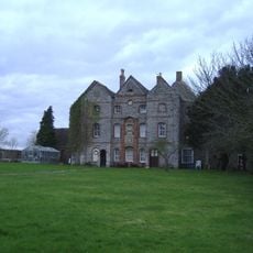
Oxwick Farmhouse
3.3 km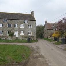
Hill Farmhouse
3.4 km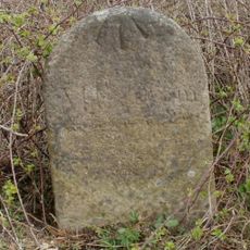
Milestone At National Grid Reference St6977 8999
3.3 km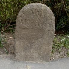
Milestone At National Grid Reference St 6904 8704
288 m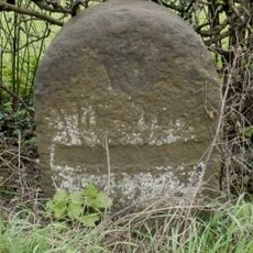
Milestone At National Grid Reference St 6928 8850
1.8 km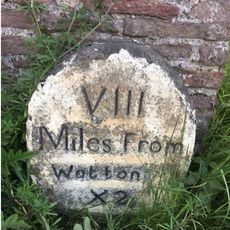
Milestones At North East Corner Of Garden Wall Circa 30 Metres East Of Laurel House
1.3 km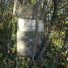
Milestone, Earthcott Green; W of jcn B4427
4.2 km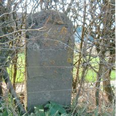
Milestone, Earthcott Green
4.5 km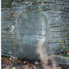
Milestone, Cog Mill Farm, NW of farm
4.4 km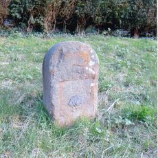
Milestone, Milbury Heath; 130m N Cutts Heath Road
4.4 km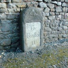
Milestone, Grovesend
4.3 kmHeeft u deze plek bezocht? Tik op de sterren om een beoordeling te geven en uw ervaring of foto's te delen met de community! Probeer het nu! U kunt het op elk moment annuleren.
Ontdek verborgen schatten op elk avontuur!
Van karakteristieke kleine cafeetjes tot geheime uitzichtpunten – ontvlucht de drukte en vind plekken die echt bij jou passen. Onze app maakt het makkelijk: spraakzoekopdrachten, slimme filters, geoptimaliseerde routes en authentieke tips van reizigers wereldwijd. Download nu en beleef het avontuur op je smartphone!

Een nieuwe benadering van toeristische ontdekking❞
— Le Figaro
Alle plekken die de moeite waard zijn om te ontdekken❞
— France Info
Een uitstapje op maat in slechts een paar klikken❞
— 20 Minutes