
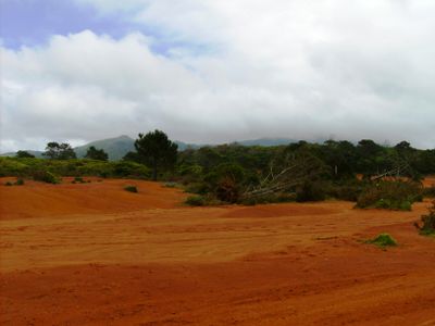
Protected Landscape of Barreiro da Faneca, protected area in Portugal
Locatie: Azores
Ontstaan: 2005
GPS-coördinaten: 36.99844,-25.11392
Laatste update: 12 april 2025 om 00:38
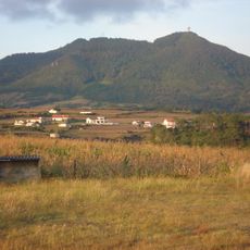
Pico Alto
2.7 km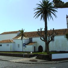
Church of Nossa Senhora da Assunção
6 km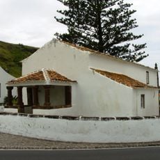
Hermitage of Nossa Senhora dos Anjos
3.6 km
LORAN Station (Santa Maria)
5 km
Fort of São Brás
6.5 km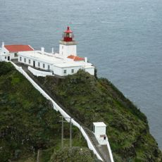
Gonçalo Velho Lighthouse
11.6 km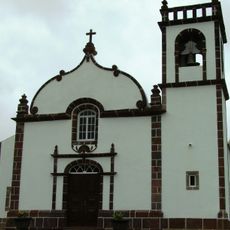
Church of Santa Bárbara
4.3 km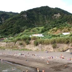
Praia do Fogo
83.3 km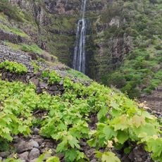
Aveiro waterfall
10 km
Reserva Florestal de Recreio das Fontinhas
5.4 km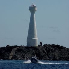
Formigas Lighthouse
42.4 km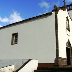
Church of Nossa Senhora do Bom Despacho
3.6 km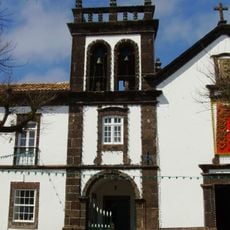
Convent of São Francisco
5.7 km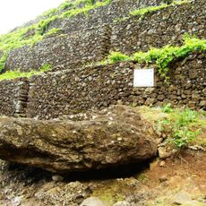
Lagar of Diogo Fernandes Faleiro
10.1 km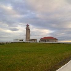
Ponta Garca Lighthouse
82.8 km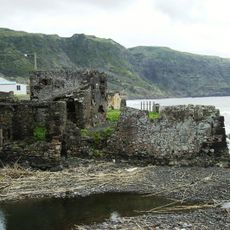
Fort of São João Baptista of Praia Formosa
5.3 km
Recreational Forest Reserve of Valverde
4.8 km
Monumento Natural da Pedreira do Campo, do Figueiral e Prainha
5.8 km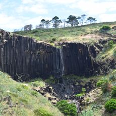
Cascade of the stream of Maloás
8.7 km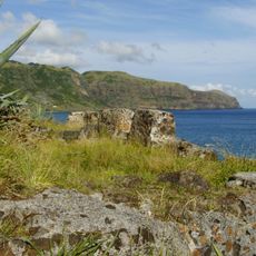
Fort Prainha
5.3 km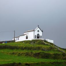
Chapel of Nossa Senhora de Lurdes
4.3 km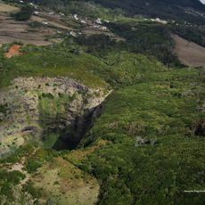
Raposo Bay Waterfall
449 m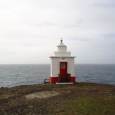
Malmerendo lichtbaken
7.5 km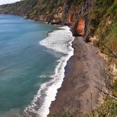
Praia da Amora
83.5 km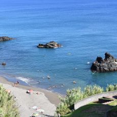
Praia de Calhau D'Areia
84.1 km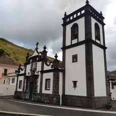
Igreja de Nossa Senhora do Rosário, Praça Velha, Mãe de Deus
84.2 km
Edifício dos Paços do Concelho, Mãe de Deus,
84.1 km
Junta de Freguesia de Vila do Porto
5.4 kmHeeft u deze plek bezocht? Tik op de sterren om een beoordeling te geven en uw ervaring of foto's te delen met de community! Probeer het nu! U kunt het op elk moment annuleren.
Ontdek verborgen schatten op elk avontuur!
Van karakteristieke kleine cafeetjes tot geheime uitzichtpunten – ontvlucht de drukte en vind plekken die echt bij jou passen. Onze app maakt het makkelijk: spraakzoekopdrachten, slimme filters, geoptimaliseerde routes en authentieke tips van reizigers wereldwijd. Download nu en beleef het avontuur op je smartphone!

Een nieuwe benadering van toeristische ontdekking❞
— Le Figaro
Alle plekken die de moeite waard zijn om te ontdekken❞
— France Info
Een uitstapje op maat in slechts een paar klikken❞
— 20 Minutes