
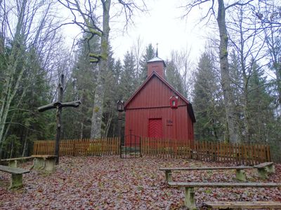
Sorai chapel, chapel in Lithuania
Locatie: Jazdauskiškiai
GPS-coördinaten: 56.06526,21.96688
Laatste update: 25 september 2025 om 08:40
Nationaal Park Žemaitija
5.4 km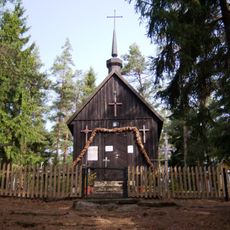
Panų kalnas
10.5 km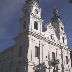
Church of the Visitation, Žemaičių Kalvarija
5.7 km
Raganos uosis
9.8 km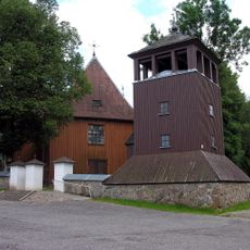
Church of St. Peter and St. Paul, Plateliai
9.8 km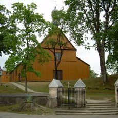
Church of the Immaculate Conception, Alsėdžiai
6.3 km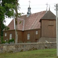
Church of St. Stanislaus the Bishop, Beržoras
10.6 km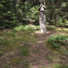
Paplatelė Educational Trail
5 km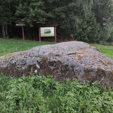
Stone Ubagų kalnas
11.2 km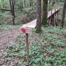
Liepijų miško pėsčiųjų trasa
11.8 km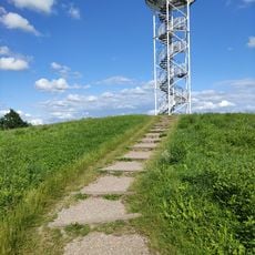
Siberijos Watchtower
10.2 km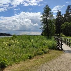
Šeirė Educational Trail
8.9 km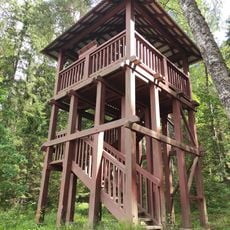
Paplatelė Trail Watchtower
5 km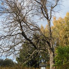
Paparčių kaštonas
8.7 km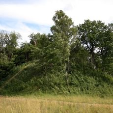
Šarnelė hillfort
7.3 km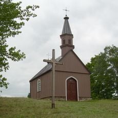
Žemaičių Kalvarijos piliakalnis
5.3 km
Gegrėnų piliakalnis
3.4 km
Panų kalnas chapel
10.5 km
Church of Jesus of Nazareth in Gegrėnai
4.7 km
Pūčkorių 1 hillfort
5 km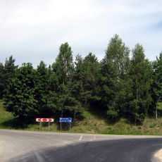
Užpelkių piliakalnis
8.9 km
Girkantų piliakalnis
2.8 km
Gelindėnų piliakalnis
12.1 km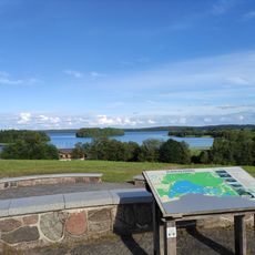
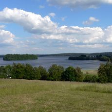
Plateliai Lake Lookout
8.9 km
Žernių piliakalnis
597 m
Rotinėnų piliakalnis
4.2 km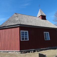
Alsėdžiai cemetery chapel
6.6 km
Pūčkorių 2 hillfort
6.6 kmHeeft u deze plek bezocht? Tik op de sterren om een beoordeling te geven en uw ervaring of foto's te delen met de community! Probeer het nu! U kunt het op elk moment annuleren.
Ontdek verborgen schatten op elk avontuur!
Van karakteristieke kleine cafeetjes tot geheime uitzichtpunten – ontvlucht de drukte en vind plekken die echt bij jou passen. Onze app maakt het makkelijk: spraakzoekopdrachten, slimme filters, geoptimaliseerde routes en authentieke tips van reizigers wereldwijd. Download nu en beleef het avontuur op je smartphone!

Een nieuwe benadering van toeristische ontdekking❞
— Le Figaro
Alle plekken die de moeite waard zijn om te ontdekken❞
— France Info
Een uitstapje op maat in slechts een paar klikken❞
— 20 Minutes