
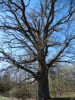
Žudiškių ąžuolas
Locatie: Vilnius District Municipality
GPS-coördinaten: 54.84031,25.21645
Laatste update: 25 september 2025 om 08:40
Verkiai Regional Park
8.3 km
Europos Parkas
8.7 km
Tarandė
10.3 km
Neris Regional Park
9.9 km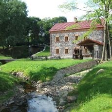
Liubavas Manor
8.1 km
Visoriai
9.7 km
Raudondvaris manor
4.4 km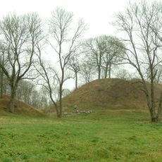
Maišiagala hillfort
10.2 km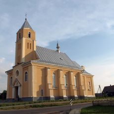
Church of St. Stanislaus the Bishop, Riešė
4.5 km
Vanagine Geomorphological Reserve
7 km
Bernotų piliakalnis
10.3 km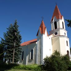
Church of the Assumption, Maišiagala
10.2 km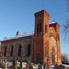
Church of St. Joseph, Karvys
6.5 km
LNK Infomedis
8.9 km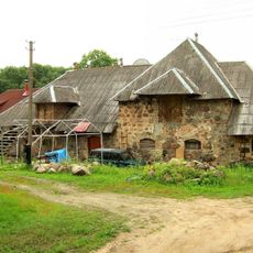
Naujaneriai manor
8.9 km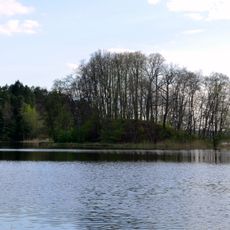
Didieji Gulbinai hillfort
7 km
Žalieji Ežerai Landscape Reserve
8.2 km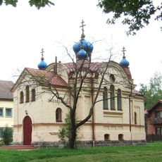
Orthodox church in Bukiškės
8.9 km
Avižieniai hillfort
9.2 km
Riešė Hydrographical Reserve
9.7 km
Mažoji Riešė hillfort
3.7 km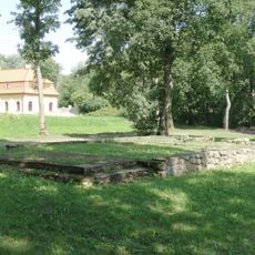
Liubavo dvaro koplyčia
8 km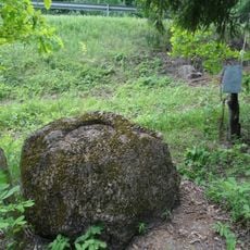
Mikulionių akmuo
3.1 km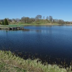
Maišiagalos tvenkinys
10.2 km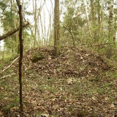
Aukštųjų Rusokų pilkapynas
3.7 km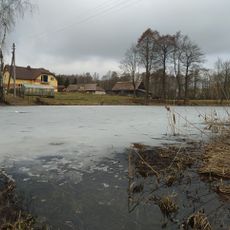
Kalino tvenkinys
5.4 km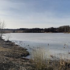
Riešės tvenkinys
3.3 km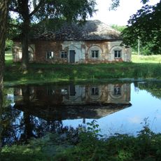
Liubavo malūno tvenkinys
8.1 kmHeeft u deze plek bezocht? Tik op de sterren om een beoordeling te geven en uw ervaring of foto's te delen met de community! Probeer het nu! U kunt het op elk moment annuleren.
Ontdek verborgen schatten op elk avontuur!
Van karakteristieke kleine cafeetjes tot geheime uitzichtpunten – ontvlucht de drukte en vind plekken die echt bij jou passen. Onze app maakt het makkelijk: spraakzoekopdrachten, slimme filters, geoptimaliseerde routes en authentieke tips van reizigers wereldwijd. Download nu en beleef het avontuur op je smartphone!

Een nieuwe benadering van toeristische ontdekking❞
— Le Figaro
Alle plekken die de moeite waard zijn om te ontdekken❞
— France Info
Een uitstapje op maat in slechts een paar klikken❞
— 20 Minutes