
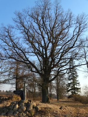
Riškaičių ąžuolas
Locatie: Šiauliai District Municipality
GPS-coördinaten: 56.19300,23.14409
Laatste update: 25 september 2025 om 08:41
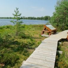
Mūšos Tyrelio Educational Trail
7.9 km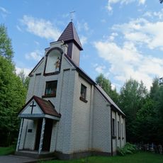
Chapel in Agailės
14.3 km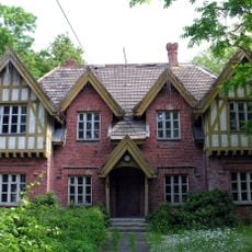
Žagarė Regional Park
11.9 km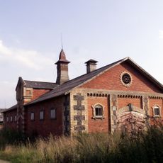
Gruzdžiai Manor
12.9 km
Church of the Holy Trinity, Gruzdžiai
12.4 km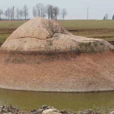
Brothers boulder
16.2 km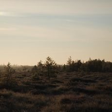
Mūšos Tyrelis Telmological Reserve
7.3 km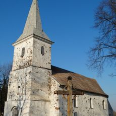
Church of St. Michael the Archangel, Šakyna
2 km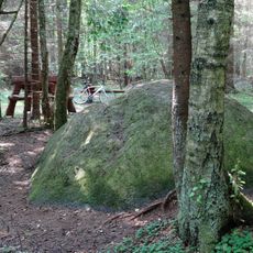
Tyrelio Erratic Stone
5.6 km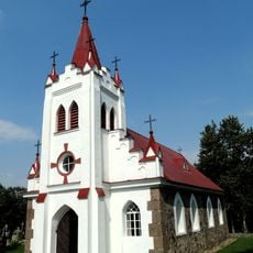
Church of Crucified Jesus, Žukančiai
9.2 km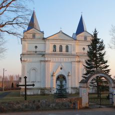
Church of St. Anne, Kruopiai
9.5 km
Žeimių vinkšna
11.9 km
Beržynės ąžuolas
15.6 km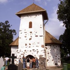
Chapel in Šakyna
3.2 km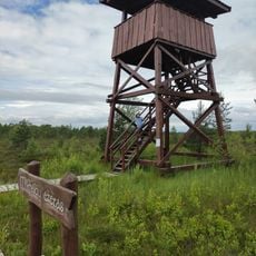
Mūšos Tyrelio Watchtower
7.8 km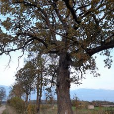
Dovydžių ąžuolas
7.9 km
Maldenių ąžuolas
13.4 km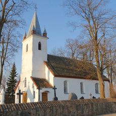
Church of St. Nicholas, Žarėnai
6.4 km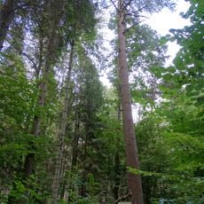
Žagarės miško veimutinė pušis
13.4 km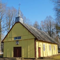
Church of St. Aloysius, Šiupyliai
11.1 km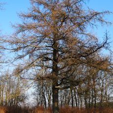
Riškaičių maumedis
27 m
Kulnio ąžuolas
9.6 km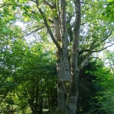
Reibiniškio miško dvikamienis ąžuolas
14.6 km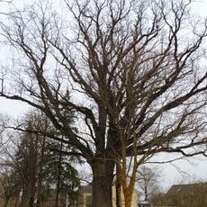
Veršių ąžuolas
15.7 km
Raistų ąžuolas
10.8 km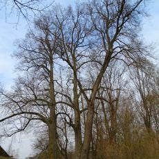
Raistų liepa
10.8 km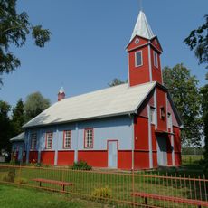
Church of St. John the Baptist, Juodeikiai
7.2 km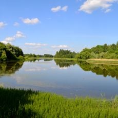
Dargaičių tvenkinys
9.7 kmHeeft u deze plek bezocht? Tik op de sterren om een beoordeling te geven en uw ervaring of foto's te delen met de community! Probeer het nu! U kunt het op elk moment annuleren.
Ontdek verborgen schatten op elk avontuur!
Van karakteristieke kleine cafeetjes tot geheime uitzichtpunten – ontvlucht de drukte en vind plekken die echt bij jou passen. Onze app maakt het makkelijk: spraakzoekopdrachten, slimme filters, geoptimaliseerde routes en authentieke tips van reizigers wereldwijd. Download nu en beleef het avontuur op je smartphone!

Een nieuwe benadering van toeristische ontdekking❞
— Le Figaro
Alle plekken die de moeite waard zijn om te ontdekken❞
— France Info
Een uitstapje op maat in slechts een paar klikken❞
— 20 Minutes