
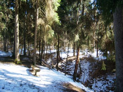
Nerėpa Entomological Reserve
Locatie: Kaunas District Municipality
GPS-coördinaten: 54.95000,23.65000
Laatste update: 25 september 2025 om 08:40
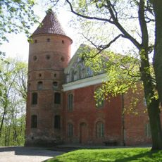
Raudondvaris Castle
8.6 km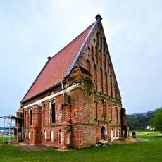
Old Church of St. John the Baptist, Zapyškis
2.4 km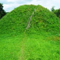
Pypliai Hillfort
6.9 km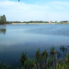
Gaižėnų tvenkinys
7.5 km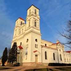
Saint Therese of the Child Jesus church in Raudondvaris
8.7 km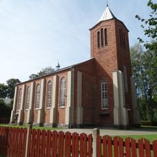
New Church of St. John the Baptist, Zapyškis
2.7 km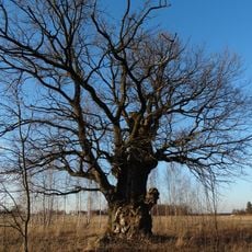
Karveliai Oak
10 km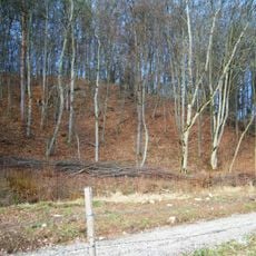
Nevėžis Landscape Reserve
9.8 km
Raudondvaris bridge
9.3 km
Kačerginė chapel
4.8 km
Altoniškiai hillfort
3.4 km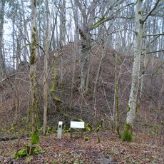
Bernatoniai hillfort
9.1 km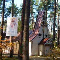
Church of the Holy Name of the Virgin Mary, Kulautuva
857 m
Jaučakių piliakalnis
9.8 km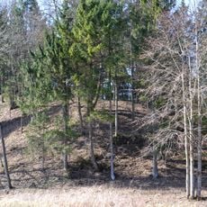
Jadagoniai hillfort
6.8 km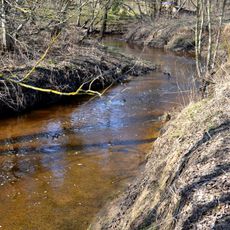
Liekė Landscape Reserve
7.9 km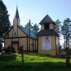
Church of St. Barbara, Paštuva
4.6 km
Karklė Ichthyological Reserve
6 km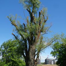
Santakos gluosnis
9.6 km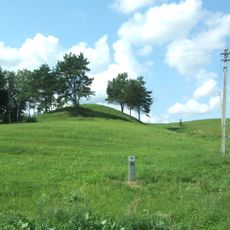
Mikytai hillfort, Šakiai
9.4 km
Jadagoniai chapel
5.8 km
Jaučakiai Holocaust Memorial
9.5 km
Virbališkių piliakalnis
6.1 km
Cemetery chapel, Zapyškis
2.8 km
Šėtijai hillfort
7.3 km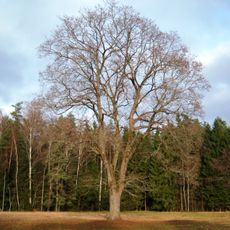
Vaičiūnų klevas
7.9 km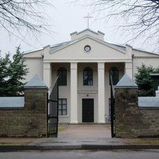
Church of St. Anthony of Padua, Ežerėlis
8.1 km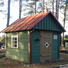
Paštuva cemetery chapel
4.6 kmHeeft u deze plek bezocht? Tik op de sterren om een beoordeling te geven en uw ervaring of foto's te delen met de community! Probeer het nu! U kunt het op elk moment annuleren.
Ontdek verborgen schatten op elk avontuur!
Van karakteristieke kleine cafeetjes tot geheime uitzichtpunten – ontvlucht de drukte en vind plekken die echt bij jou passen. Onze app maakt het makkelijk: spraakzoekopdrachten, slimme filters, geoptimaliseerde routes en authentieke tips van reizigers wereldwijd. Download nu en beleef het avontuur op je smartphone!

Een nieuwe benadering van toeristische ontdekking❞
— Le Figaro
Alle plekken die de moeite waard zijn om te ontdekken❞
— France Info
Een uitstapje op maat in slechts een paar klikken❞
— 20 Minutes