
Gaurė, nederzetting in Litouwen
Locatie: Tauragė District Municipality
Hoogte boven de zeespiegel: 29 m
GPS-coördinaten: 55.24167,22.47500
Laatste update: 29 maart 2025 om 17:29

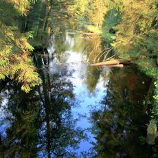
Viešvilė Reserve
12.6 km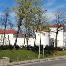
Tauragė Castle
12.2 km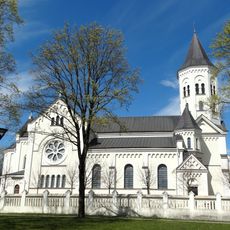
Church of the Holy Trinity in Tauragė
12.1 km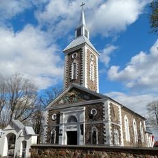
Evangelical Lutheran Church in Tauragė
11.8 km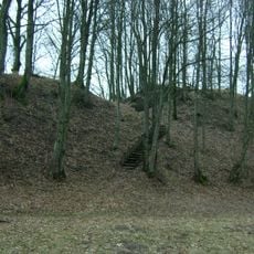
Batakių piliakalnis
12.1 km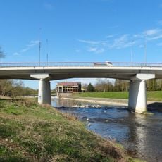
Taurogenas bridge
12.4 km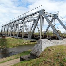
Tauragė railway bridge
13.5 km
Eržvilko piliakalnis
14.1 km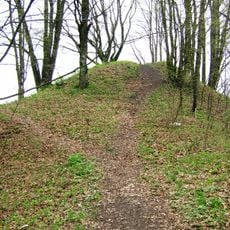
Dapkiškiai hillfort
15.3 km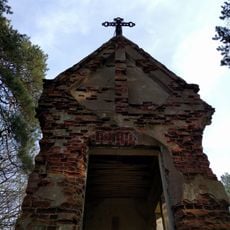
Gaurė chapel
1.5 km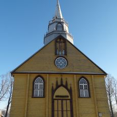
Church of St. George, Eržvilkas
14.8 km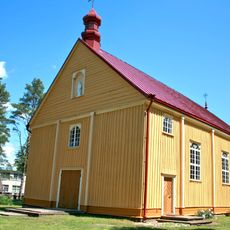
Church of the Holy Trinity, Varlaukis
15.5 km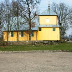
Church of St. Anne, Batakiai
12.5 km
Agluonos ąžuolas
14.5 km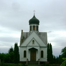
Orthodox church in Tauragė
11.6 km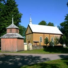
Church of the Assumption, Pašaltuonys
8.5 km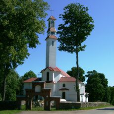
Church of St. Michael the Archangel, Gaurė
95 m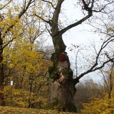
Gaure's oak
243 m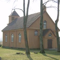
Evangelical Lutheran Church in Batakiai
11.7 km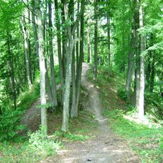
Kiukiškiai hillfort
1.7 km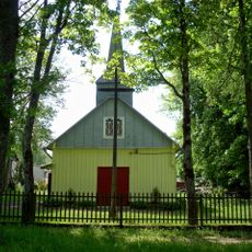
Church of St. John the Baptist, Vertimai
13.2 km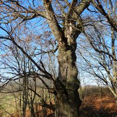
Karklotės ąžuolas
13.1 km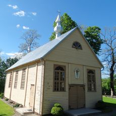
Church of the transfiguration of Jesus Christ in Lomiai
15.1 km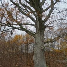
Avietiškių ąžuolas
9.7 km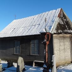
Eržvilkas cemetery chapel
15.2 km
Vėžalaukio ąžuolas
14.2 km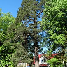
Papušynė pine
12.4 km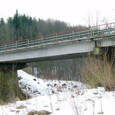
Mažonų tiltas
13.2 kmBeoordelingen
Heeft u deze plek bezocht? Tik op de sterren om een beoordeling te geven en uw ervaring of foto's te delen met de community! Probeer het nu! U kunt het op elk moment annuleren.
Ontdek verborgen schatten op elk avontuur!
Van karakteristieke kleine cafeetjes tot geheime uitzichtpunten – ontvlucht de drukte en vind plekken die echt bij jou passen. Onze app maakt het makkelijk: spraakzoekopdrachten, slimme filters, geoptimaliseerde routes en authentieke tips van reizigers wereldwijd. Download nu en beleef het avontuur op je smartphone!

Een nieuwe benadering van toeristische ontdekking❞
— Le Figaro
Alle plekken die de moeite waard zijn om te ontdekken❞
— France Info
Een uitstapje op maat in slechts een paar klikken❞
— 20 Minutes