
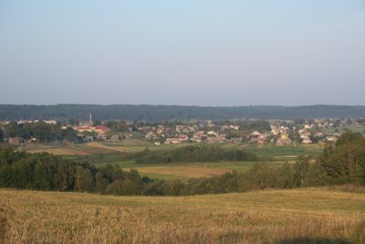
Semeliškės, nederzetting in Litouwen
Locatie: Elektrėnai Municipality
Hoogte boven de zeespiegel: 115 m
GPS-coördinaten: 54.66667,24.65833
Laatste update: 9 augustus 2025 om 11:26

Velnias Sinkhole
11.1 km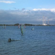
Elektrėnai Reservoir
10 km
Aukštadvaris Regional Park
11.6 km
Strėvos įgriuva
9.4 km
Pastrėvys
5.8 km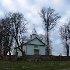
Beižionys
11.7 km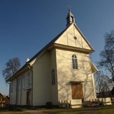
Church of Saint Lawrence in Semeliškės
401 m
Church of the transfiguration of Jesus Christ in Aukštadvaris
12.7 km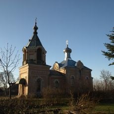
St. Nicholas Church, Semeliškės
60 m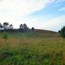
Pipiriškės hillfort
8.4 km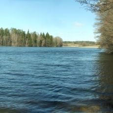
Isper
7.7 km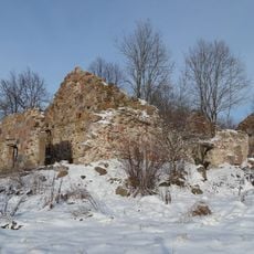
Daugirdiškės manor
6.5 km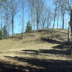
Strėva hillfort
8.5 km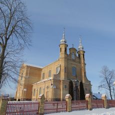
Church of the Holy Trinity, Kietaviškės
11 km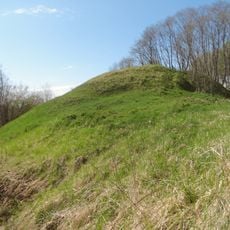
Žuvyčiai Hillfort
4.3 km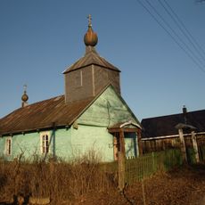
Old Believers Church in Daniliškės
9.9 km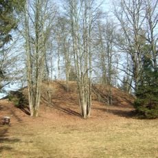
Naujasodžiai hillfort
10.9 km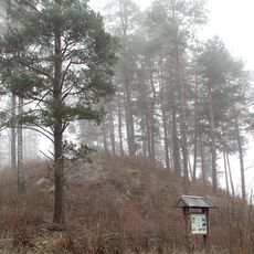
Balandiškės castle hill
7.5 km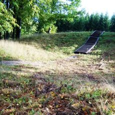
Beižionių piliakalnis
12 km
Giedraitiškių ąžuolas
12 km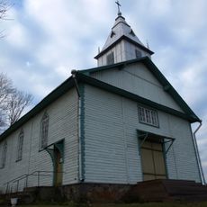
Church of the Exaltation of the Holy Cross in Beižionys
11.5 km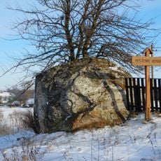
Mustenių akmuo
5.7 km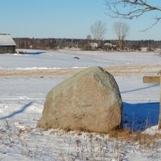
Žikaronių akmuo
9.5 km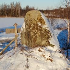
Pajurgiskes boulder
8.9 km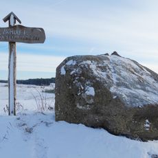
Laičių akmenys
6.4 km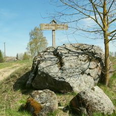
Jagėlonys Stone
7.4 km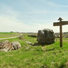
Belezai Stone
7 km
Beizionys boulder
10.7 kmBeoordelingen
Heeft u deze plek bezocht? Tik op de sterren om een beoordeling te geven en uw ervaring of foto's te delen met de community! Probeer het nu! U kunt het op elk moment annuleren.
Ontdek verborgen schatten op elk avontuur!
Van karakteristieke kleine cafeetjes tot geheime uitzichtpunten – ontvlucht de drukte en vind plekken die echt bij jou passen. Onze app maakt het makkelijk: spraakzoekopdrachten, slimme filters, geoptimaliseerde routes en authentieke tips van reizigers wereldwijd. Download nu en beleef het avontuur op je smartphone!

Een nieuwe benadering van toeristische ontdekking❞
— Le Figaro
Alle plekken die de moeite waard zijn om te ontdekken❞
— France Info
Een uitstapje op maat in slechts een paar klikken❞
— 20 Minutes