
Rudamina, Alytus
Locatie: Lazdijai District Municipality
Hoogte boven de zeespiegel: 168 m
GPS-coördinaten: 54.28833,23.45167
Laatste update: 3 maart 2025 om 00:25

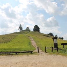
Rudaminos piliakalnis
943 m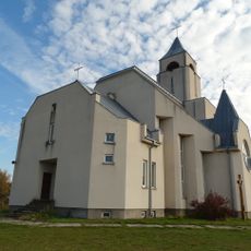
Chapel in Kryžiai
16.1 km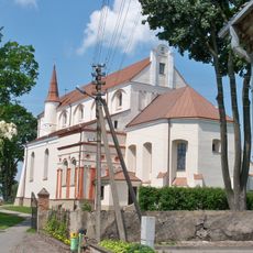
Church of the Assumption of the Blessed Virgin Mary, Simnas
16.5 km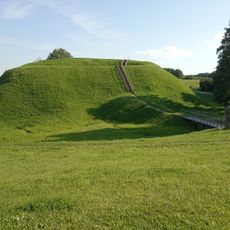
Grodzisko Przełomszczyzna
13.5 km
Bulakavas Manor
3.9 km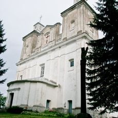
Church of the Holy Trinity, Rudamina
146 m
Church of St. Anne, Lazdijai
7.1 km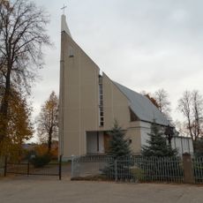
Saint Therese of the Child Jesus church, Sangrūda
14.6 km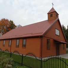
Church of St. Michael the Archangel in Mindaugai
13.2 km
Church of St. Matthew, Krosna
11.4 km
Church of the Nativity of the Virgin Mary, Šventežeris
13.7 km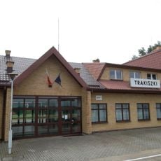
Trakiszki-Šeštokai border crossing
14.6 km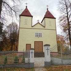
Church of Jesus of Nazareth in Būdvietis
7.9 km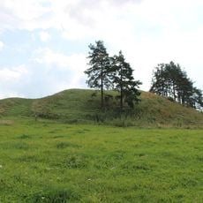
Elveriškė hillfort
1.7 km
Giluičių piliakalnis
13.2 km
Atesninkų piliakalnis
10.7 km
Church of the Blessed Virgin Mary of Perpetual Help, Šeštokai
7.7 km
Grodzisko Werstominy I
8 km
Grodzisko w Girajciach Wielkich
9.7 km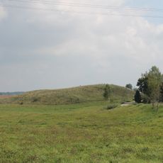
Kuklių piliakalnis
11.6 km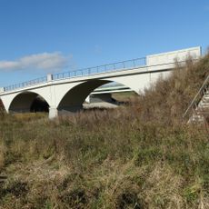
Nemunaičių tiltas
15.2 km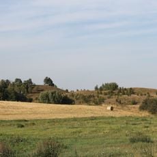
Gumbeliai hillfort
2.2 km
Grodzisko Buniszki
6.1 km
Grodzisko Werstominy II
7.6 km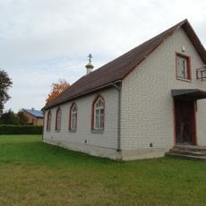
Old Believers Church in Lazdijai
8.1 km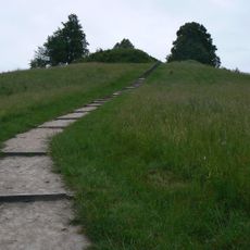
Rudaminos kraštovaizdžio istorinis draustinis
1.1 km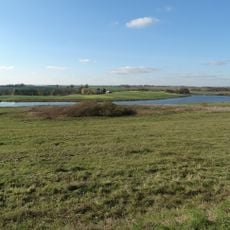
Brukų tvenkinys
15.5 km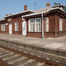
Trakiszki train station
16.8 kmBeoordelingen
Heeft u deze plek bezocht? Tik op de sterren om een beoordeling te geven en uw ervaring of foto's te delen met de community! Probeer het nu! U kunt het op elk moment annuleren.
Ontdek verborgen schatten op elk avontuur!
Van karakteristieke kleine cafeetjes tot geheime uitzichtpunten – ontvlucht de drukte en vind plekken die echt bij jou passen. Onze app maakt het makkelijk: spraakzoekopdrachten, slimme filters, geoptimaliseerde routes en authentieke tips van reizigers wereldwijd. Download nu en beleef het avontuur op je smartphone!

Een nieuwe benadering van toeristische ontdekking❞
— Le Figaro
Alle plekken die de moeite waard zijn om te ontdekken❞
— France Info
Een uitstapje op maat in slechts een paar klikken❞
— 20 Minutes