
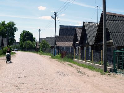
Rūdninkai, village in Šalčininkai District Municipality, Lithuania
Locatie: Šalčininkai District Municipality
GPS-coördinaten: 54.43720,25.15170
Laatste update: 2 april 2025 om 17:21
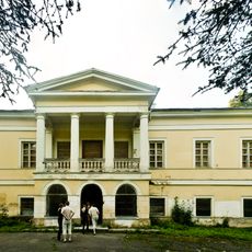
Jašiūnai Manor
9.5 km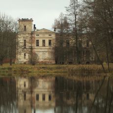
Baltoji Vokė Łęski manor
18.1 km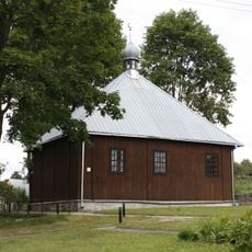
Mosque in Keturiasdešimt Totorių
14 km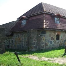
Peteša Manor
19.1 km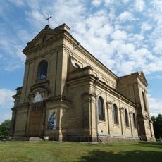
Church of the Conversion of St. Paul in Vaidotai
18.5 km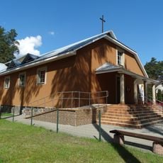
Blessed Michał Sopoćko church in Juodšiliai
17.6 km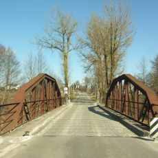
Kazbiejai bridge
19.8 km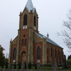
Parudaminys church
12.2 km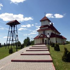
Church of St. Anne, Jašiūnai
11 km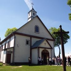
Church of the Holy Trinity, Rūdninkai
590 m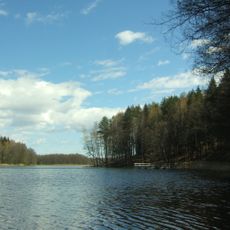
Ilgutis Botanical Reserve
19.9 km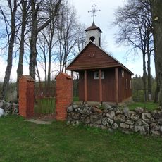
Chapel, Sangėliškės
20.1 km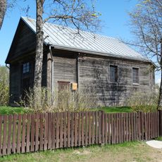
Skurbutėnai Chapel
12.9 km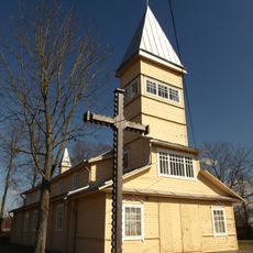
Church of St. John the Baptist, Paluknys
12.9 km
Vokė Geomorphological Reserve
19.9 km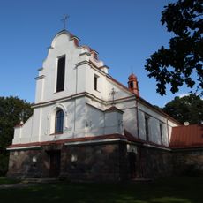
Church of the Assumption, Pabarė
18.8 km
Kiaulėkų piliakalnis
19.1 km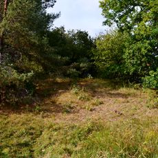
Tetervinų piliakalnis
14.9 km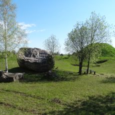
Rezius
20 km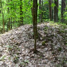
Category:Pabarė tumuli
17.8 km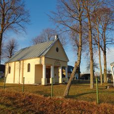
Gojus chapel
17.2 km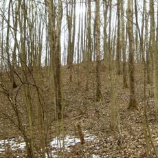
Vaidotų piliakalnis
17.3 km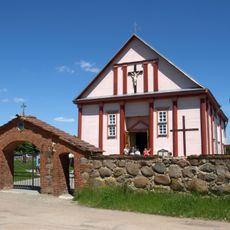
Church of St. George, Šalčininkėliai
16.3 km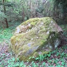
Cegelnios akmuo
20.1 km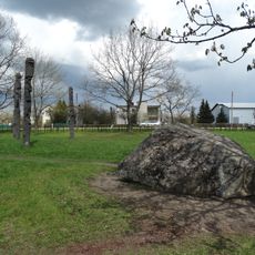
Marijampolio akmuo
15.3 km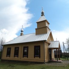
Old Believers Church in Gojus
11.2 km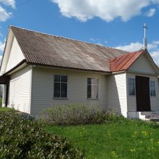
Chapel, Tetėnai
19 km
Senųjų Macelių pilkapynas
7.8 kmBeoordelingen
Heeft u deze plek bezocht? Tik op de sterren om een beoordeling te geven en uw ervaring of foto's te delen met de community! Probeer het nu! U kunt het op elk moment annuleren.
Ontdek verborgen schatten op elk avontuur!
Van karakteristieke kleine cafeetjes tot geheime uitzichtpunten – ontvlucht de drukte en vind plekken die echt bij jou passen. Onze app maakt het makkelijk: spraakzoekopdrachten, slimme filters, geoptimaliseerde routes en authentieke tips van reizigers wereldwijd. Download nu en beleef het avontuur op je smartphone!

Een nieuwe benadering van toeristische ontdekking❞
— Le Figaro
Alle plekken die de moeite waard zijn om te ontdekken❞
— France Info
Een uitstapje op maat in slechts een paar klikken❞
— 20 Minutes