
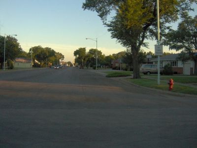
Ashland, Kansas
Locatie: Clark County
Hoogte boven de zeespiegel: 602 m
Website: http://AshlandKS.com
GPS-coördinaten: 37.18670,-99.76920
Laatste update: 6 maart 2025 om 17:22
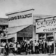
Long Branch Saloon
66.7 km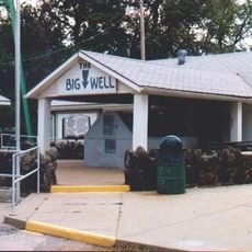
Big Well
62.8 km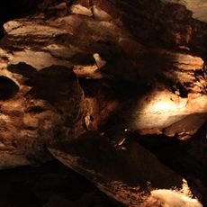
Alabaster Caverns State Park
77.6 km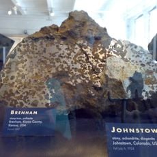
Brenham
69.4 km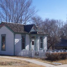
Dalton Gang Hideout and Museum
51.4 km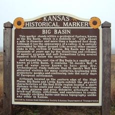
Big Basin Prairie Preserve
21.1 km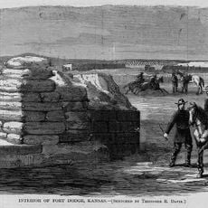
Fort Dodge
62.3 km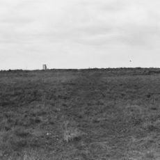
Santa Fe Trail Remains
77.2 km
Fort Supply
70.4 km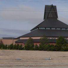
Cathedral of Our Lady of Guadalupe
71.4 km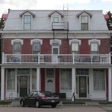
Cimarron Hotel
86 km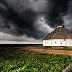
Fromme-Birney Round Barn
44.3 km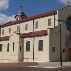
Sacred Heart Cathedral
67.1 km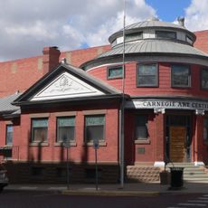
Dodge City Public Library
67 km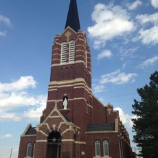
Immaculate Heart of Mary Catholic Church
67.6 km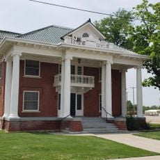
L. L. Stine House
90 km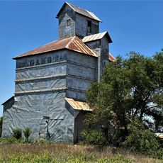
Gano Grain Elevator and Scale House
83.1 km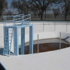
Fowler Swimming Pool and Bathhouse
43.5 km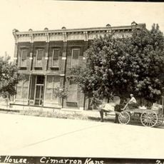
Old Gray County Courthouse
85.9 km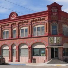
Stockgrowers State Bank
214 m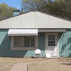
Stein House
735 m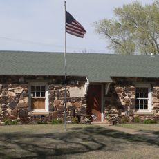
Girl Scout Little House
509 m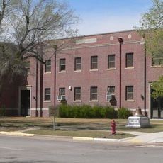
Ashland Grade School
359 m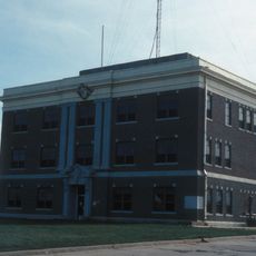
Harper County Courthouse
41.3 km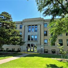
Comanche County Courthouse
40.4 km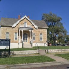
Home of Stone
67 km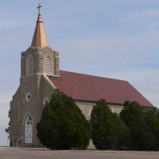
St. Mary's Catholic Church
89.6 km
Kiowa County Historical Museum and Soda Fountain
62.7 kmBeoordelingen
Heeft u deze plek bezocht? Tik op de sterren om een beoordeling te geven en uw ervaring of foto's te delen met de community! Probeer het nu! U kunt het op elk moment annuleren.
Ontdek verborgen schatten op elk avontuur!
Van karakteristieke kleine cafeetjes tot geheime uitzichtpunten – ontvlucht de drukte en vind plekken die echt bij jou passen. Onze app maakt het makkelijk: spraakzoekopdrachten, slimme filters, geoptimaliseerde routes en authentieke tips van reizigers wereldwijd. Download nu en beleef het avontuur op je smartphone!

Een nieuwe benadering van toeristische ontdekking❞
— Le Figaro
Alle plekken die de moeite waard zijn om te ontdekken❞
— France Info
Een uitstapje op maat in slechts een paar klikken❞
— 20 Minutes